ARQIsolutions (@arqisolutions) 's Twitter Profile
ARQIsolutions

@arqisolutions

Pioneers in construction innovation by seamlessly integrating Drones, BIM and GIS for transformative project workflows.

ID: 917979408

linkhttp://www.arqisolutions.com calendar_today01-11-2012 01:06:01

109 Tweet

456 Followers

961 Following

ARQIsolutions (@arqisolutions) 's Twitter Profile Photo

No, this is not a 3D mesh model. This is one of the most important NeRF/Gaussian Splat updates for the #AEC industry in a while! A research team announced VastGaussians - the first method for high-quality reconstruction and real-time rendering on large scenes based on 3DGS

ARQIsolutions (@arqisolutions) 's Twitter Profile Photo

Read our latest blog on how we integrate Drone outputs within our Concept Development workflow. arqisolutions.com/drones-in-cons… #conceptdesign #conceptdevelopment #dronesurvey #droneservices #technology #architecture

Babu (@daktari_ms) 's Twitter Profile Photo

Point cloud data has become the new standard for the architecture, engineering, and construction industries. In this latest example, we were in Shanzu Mombasa capturing the as-built status of a resort under construction. #drones #3DMapping #LiDAR #digitaltwin #architecture

Babu (@daktari_ms) 's Twitter Profile Photo

Another drone mapping project over an informal settlement in Nairobi, reveals the power of LiDAR data in understanding infrastructure and living conditions. From detailed spatial analysis to mapping vital power infrastructure, every detail counts towards positive change

ARQIsolutions (@arqisolutions) 's Twitter Profile Photo

Are you interested in flying drones in Kenya but unsure about the regulations and requirements? Look no further! We've just published a comprehensive blog post that breaks down everything you need to know about operating drones in Kenya according to KCAA arqisolutions.com/a-guide-to-fly…

Babu (@daktari_ms) 's Twitter Profile Photo

In today's era of advanced technology, LiDAR data is revolutionizing the way we understand and manage our forests. By utilizing drone-mounted LiDAR systems, we can capture incredibly detailed point cloud data, transforming forestry surveying and ecological research.

Drone Space Kenya (@dronespacekenya) 's Twitter Profile Photo

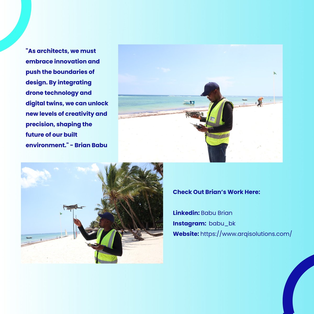
Brian Babu's journey shows how drone technology empowers architects to make data-driven decisions and shape the future of our cities. A true inspiration! #AlumniSpotlight #UrbanPlanning #BIM

Brian Babu's journey shows how drone technology empowers architects to make data-driven decisions and shape the future of our cities.  
A true inspiration! 
#AlumniSpotlight #UrbanPlanning #BIM
Geo-Cart Surveys & Engineering Solutions Ltd (@geocartsurveys) 's Twitter Profile Photo

Geo-Cart, in collaboration with ARQIsolutions, successfully completed a detailed 3D mapping and survey project at the stunning Diamonds Leisure Beach & Golf Resort in Diani, Kenya.

Geo-Cart, in collaboration with <a href="/ARQIsolutions/">ARQIsolutions</a>, successfully completed a detailed 3D mapping and survey project at the stunning Diamonds Leisure Beach &amp; Golf Resort in Diani, Kenya.
Babu (@daktari_ms) 's Twitter Profile Photo

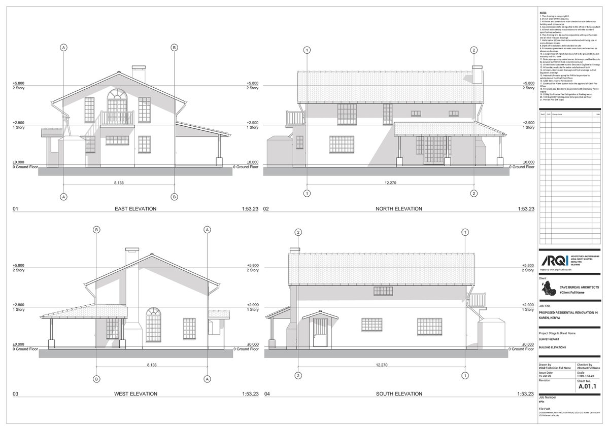
We mapped a hidden residential compound in Karen—no site drawings, dense vegetation, and early 2000s structures. The goal: deliver accurate as-built CAD drawings and a full BIM model. Here’s how we did it.👇 #LiDAR #BIM #RealityCapture #DigitalTwin

We mapped a hidden residential compound in Karen—no site drawings, dense vegetation, and early 2000s structures. The goal: deliver accurate as-built CAD drawings and a full BIM model. 

Here’s how we did it.👇
#LiDAR #BIM #RealityCapture #DigitalTwin
Babu (@daktari_ms) 's Twitter Profile Photo

From that, we extracted: ✅ Topographical map ✅ As-built plans, sections, elevations ✅ A 1:1 BIM model accurate down to ceiling voids & wall thickness Thanks to Cave_bureau & partners ARQIsolutions Geo-Cart Surveys & Engineering Solutions Ltd #Surveying #DroneMapping #CHCNAV #Geospatial

Babu (@daktari_ms) 's Twitter Profile Photo

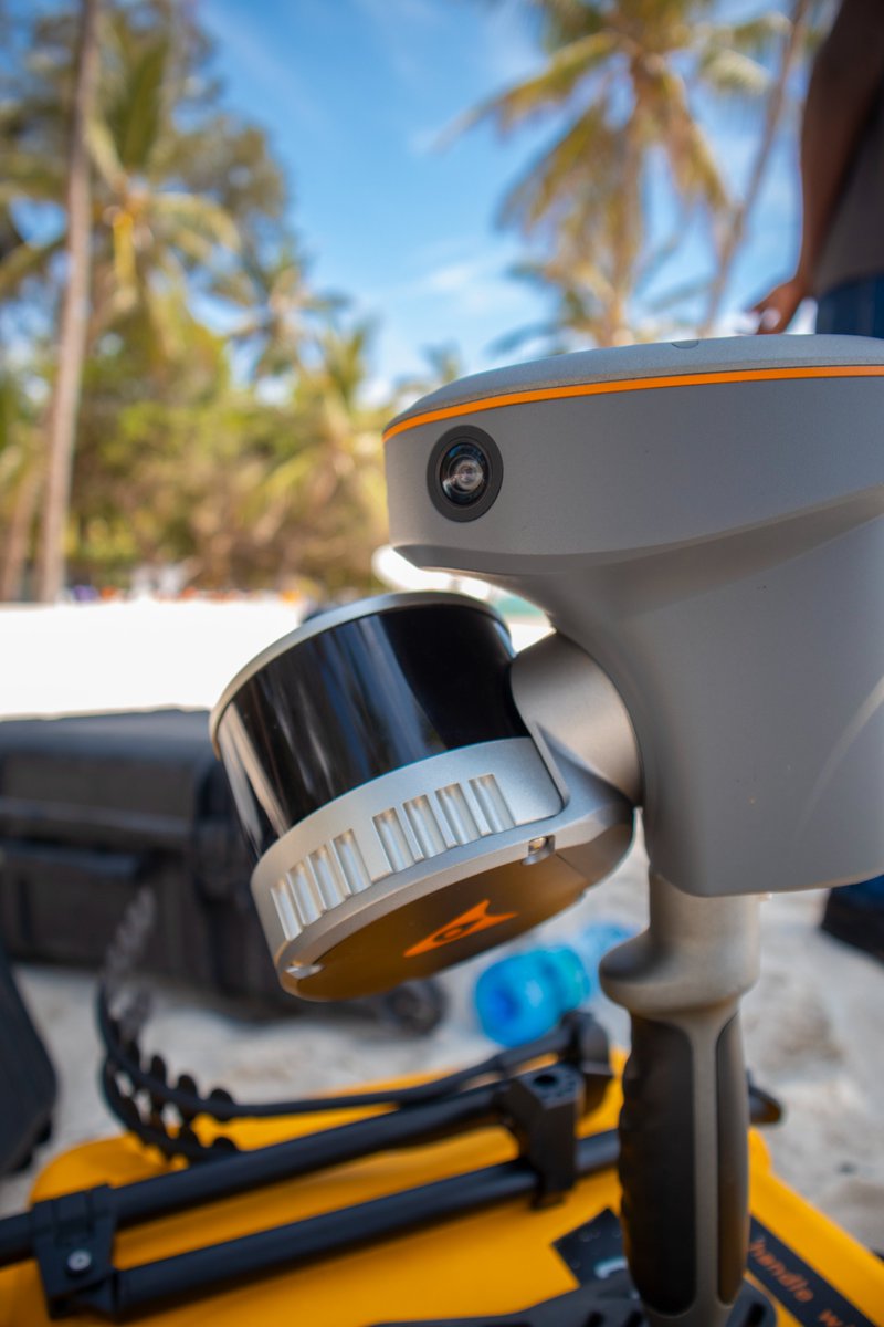
How do you map a resort seamlessly built into natural coral rock formations, featuring underground kitchens, hidden caves, and dense vegetation? Traditional survey methods don't cut it, so we brought in cutting-edge #LiDAR and #SLAM technology to capture every intricate detail.

How do you map a resort seamlessly built into natural coral rock formations, featuring underground kitchens, hidden caves, and dense vegetation? Traditional survey methods don't cut it, so we brought in cutting-edge #LiDAR and #SLAM technology to capture every intricate detail.