Atikul Hoque (@atikul_hoque1) 's Twitter Profile
Atikul Hoque

@atikul_hoque1

Graduate student | Vegetation Remote Sensing | @NMSUGeography | @NRS_ITC alum

ID: 1322463099421663232

calendar_today31-10-2020 08:59:20

19 Tweet

74 Followers

256 Following
Andy Nelson (@dr_andy_nelson) 's Twitter Profile Photo

Our spatial modelling work on food transport resilience in 90 countries for the FAO State of Food & Agriculture Report 2021 resulted in unique spatial data, models & metrics on resilience. A great collaboration with colleagues in multiple departments/faculties University of Twente (inactive) ROBERT OUKO
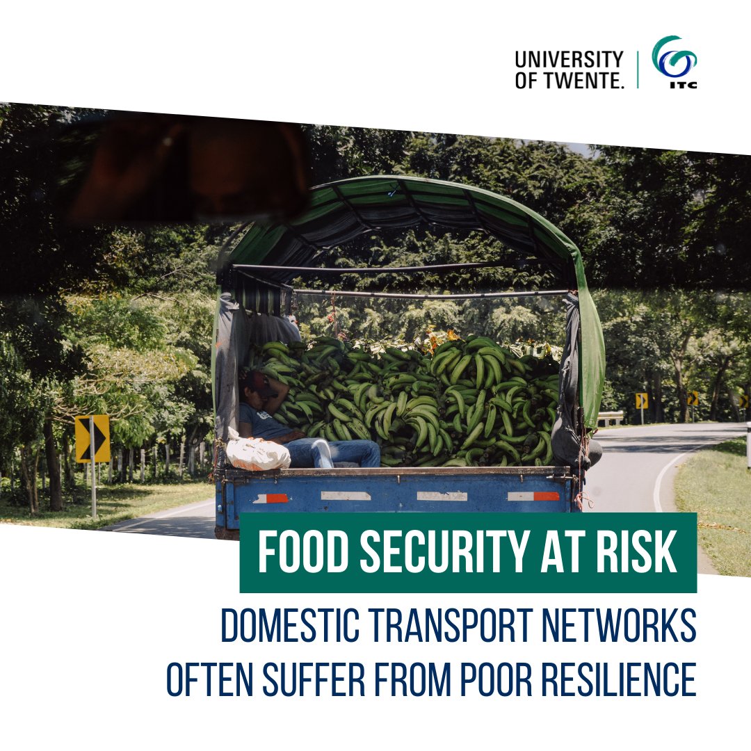
Our spatial modelling work on food transport resilience in 90 countries for the FAO State of Food &amp; Agriculture Report 2021 resulted in unique spatial data, models &amp; metrics on resilience. A great collaboration with colleagues in multiple departments/faculties <a href="/utwenteEN/">University of Twente (inactive)</a> <a href="/rohuru/">ROBERT OUKO</a>
Sisters of SAR (@sistersofsar) 's Twitter Profile Photo

#NewYear2022 ⭐️✨ Wishing everyone a happy new year 2022. May the #SARresolution be high📸, #speckle be low 🔲& #SARbackscatter exactly what you hoped for🎉!

Valt Ze (@valtzen) 's Twitter Profile Photo

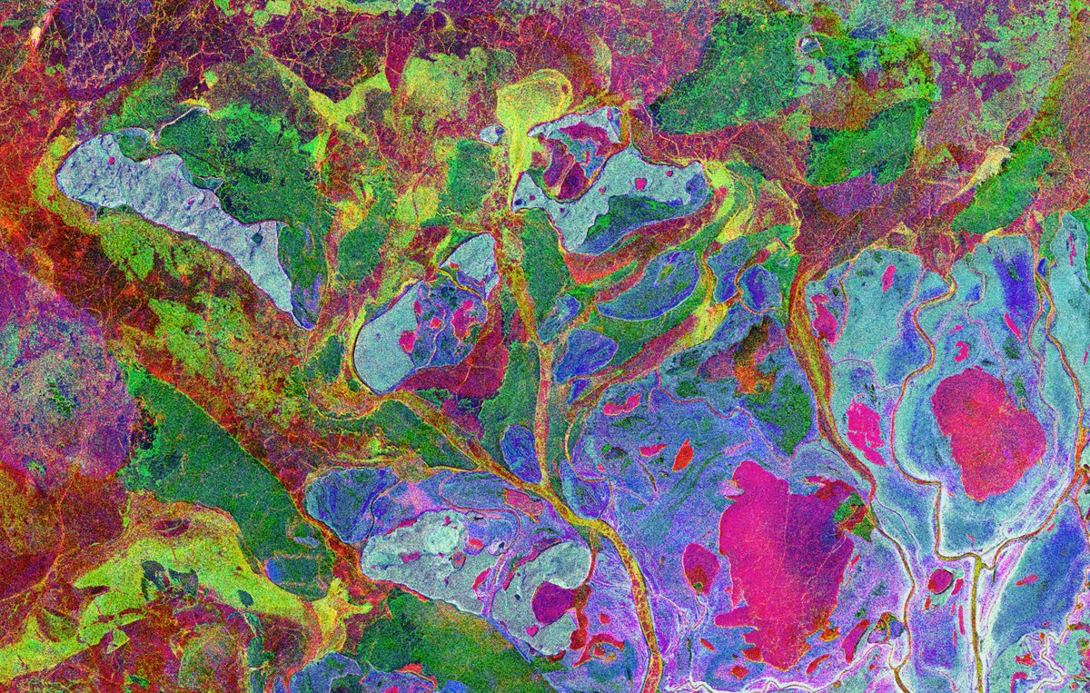
#Sentinel1 composite image tells the story of spring season dynamics in the Mackenzie river delta 🧊❄️💦🇨🇦🛰️🗺️ Reminds me of rock thin sections observerved through a polarized light microscope Explore & comment Soar bit.ly/mackenzie_delta #SARisBeautiful #Canada

#Sentinel1 composite image tells the story of spring season dynamics in the Mackenzie river delta

🧊❄️💦🇨🇦🛰️🗺️

Reminds me of rock thin sections observerved through a polarized light microscope 

Explore &amp; comment <a href="/Soar_Earth/">Soar</a> 
bit.ly/mackenzie_delta

#SARisBeautiful #Canada
Sherrie Wang (@sherwang) 's Twitter Profile Photo

Fields are basic units of agriculture. 🌾 Digital field boundaries are needed to deliver field-level analytics to farmers. But most of the world lacks field boundary datasets. A thread on filling the data gap with satellites and deep learning, from our latest paper. 🛰 🧵 1/n

Qiusheng Wu (@giswqs) 's Twitter Profile Photo

674,000 historical RADARSAT-1 synthetic aperture radar (SAR) images of Earth freely available 👇 asc-csa.gc.ca/eng/industry/n… #openaccess #opendata #eochat #SAR #EarthObservation

Kurt Schwehr, PhD (@kurtschwehr) 's Twitter Profile Photo

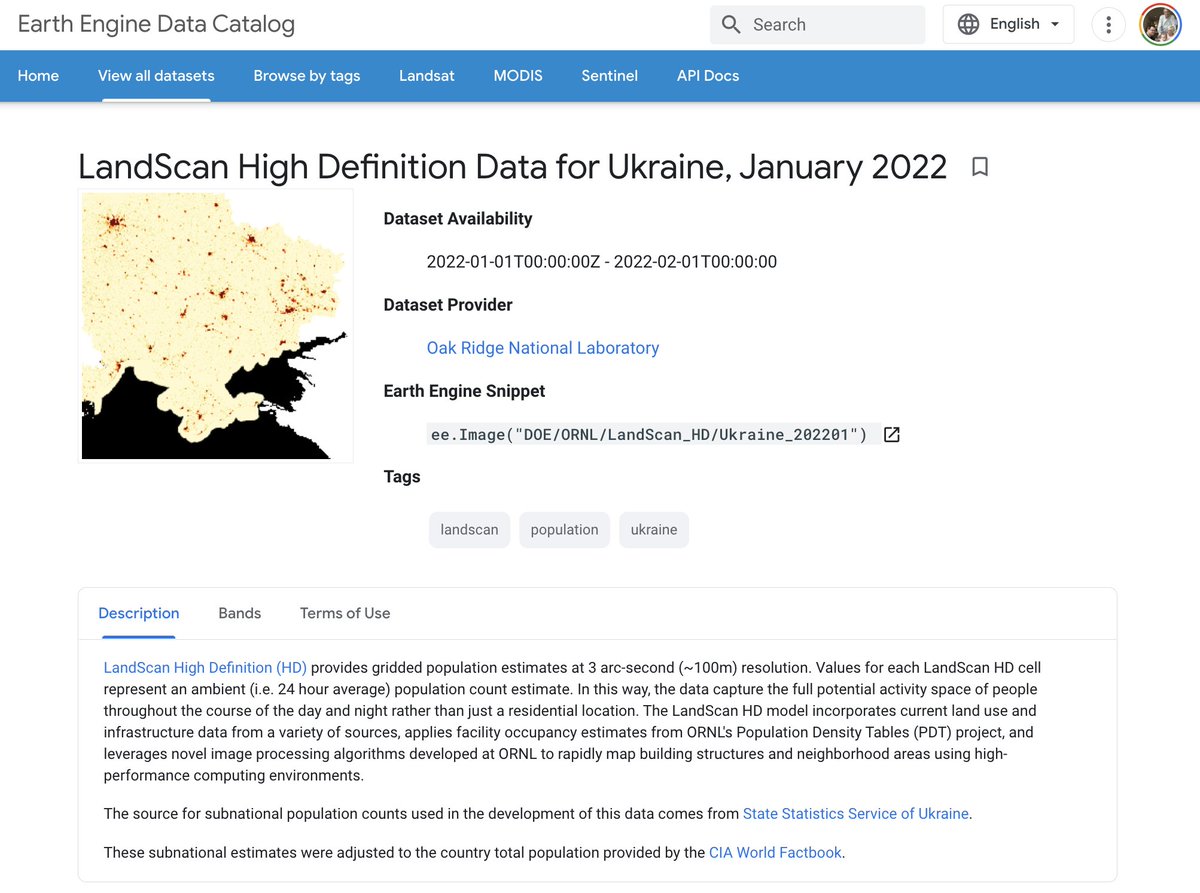
New Earth Engine public dataset: "LandScan High Definition Data for Ukraine, January 2022". Thanks to those who put in the work on this. developers.google.com/earth-engine/d…

New Earth Engine public dataset: "LandScan High Definition Data for Ukraine, January 2022". Thanks to those who put in the work on this. developers.google.com/earth-engine/d…
Kate Chalmers (@kategchalmers) 's Twitter Profile Photo

I prefer loops in #RStats because I found them easier as a beginner. I sometimes feel like I’m a minority/missing out on something by not using apply tho. What do other people use? Is it worth making the switch? #R #DataScience #coding

GEDI (@gedi_knights) 's Twitter Profile Photo

Call for information about papers using GEDI data! 🚨 Quantifying science being generated using GEDI could help keep us on the ISS, and we are compiling a list: zotero.org/groups/4722440… If you have a manuscript in review, pre-print, or published that we missed, please DM us!

Atikul Hoque (@atikul_hoque1) 's Twitter Profile Photo

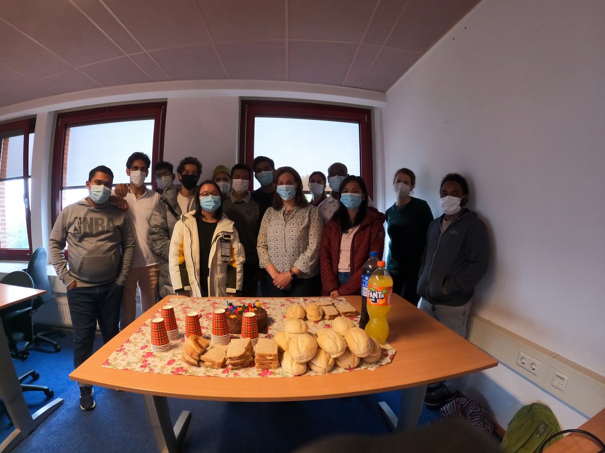
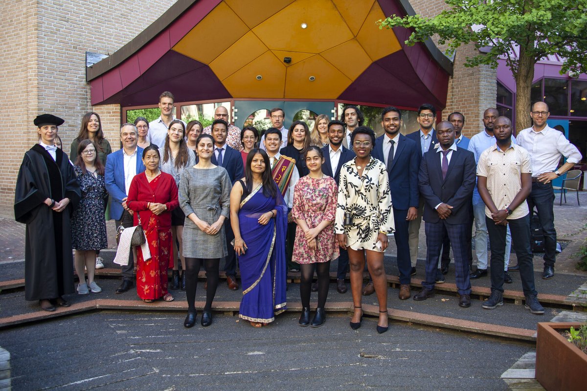
I successfully defended my thesis on 'Variability of wheat phenology from Sentinel-1 and -2 time series: a case study for Brandenburg, Germany. And graduated from ITC Faculty | Natural Resources Department with an MSc!
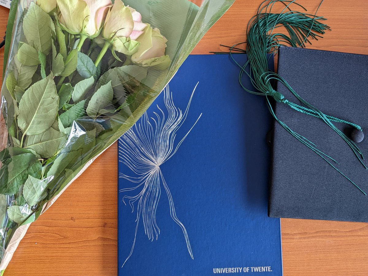
I successfully defended my thesis on 'Variability of wheat phenology
from Sentinel-1 and -2 time series: a case study for Brandenburg, Germany. And graduated from <a href="/NRS_ITC/">ITC Faculty | Natural Resources Department</a> with an MSc!
Mike Wulder (@mikewulder) 's Twitter Profile Photo

The #GEE resource you have been waiting for! #GoogleEarthEngine Cardille et al. 2022. Cloud-Based Remote Sensing with Google Earth Engine: Fundamentals and Applications. >100 authors (well done all!) >55 chapters, labs, >10,000 lines of code #OpenAccess: eefabook.org

The #GEE resource you have been waiting for! #GoogleEarthEngine

Cardille et al. 2022. Cloud-Based Remote Sensing with Google Earth Engine: Fundamentals and Applications.

&gt;100 authors (well done all!)
&gt;55 chapters, labs, &gt;10,000 lines of code
#OpenAccess:
eefabook.org
Olesia Nikulina (@ol_nikulina) 's Twitter Profile Photo

Academic writing is a superpower. It's a key to publishing, getting a new job or tenure, and becoming known in the field These 10 AI-powered websites will help you with EVERY part of your manuscript and will save you 100+ hours: #openscience #AcademicTwitter #phdvoice #phdchat

Hannah Kerner (@hannah_kerner) 's Twitter Profile Photo

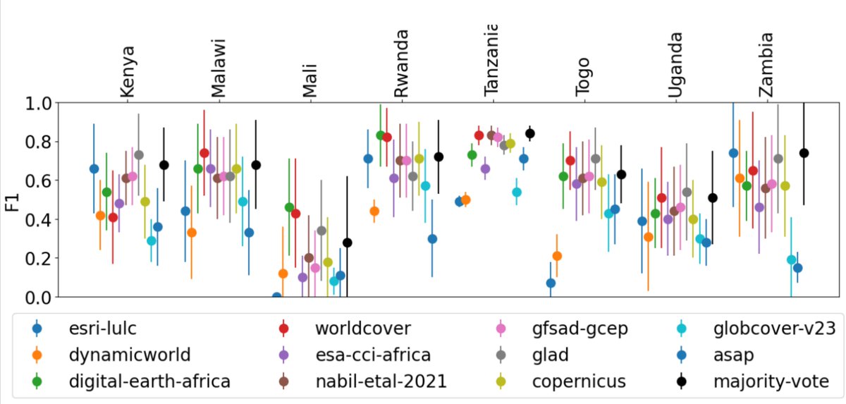
How accurate are existing land cover maps for agriculture in Africa? 🌍 We evaluated crop class accuracy in 11 public land cover maps in 8 countries. Some do better than others, but all are quite low (mean F1 < 0.6) revealing large global performance gaps. arxiv.org/abs/2307.02575

How accurate are existing land cover maps for agriculture in Africa? 🌍 We evaluated crop class accuracy in 11 public land cover maps in 8 countries. Some do better than others, but all are quite low (mean F1 &lt; 0.6) revealing large global performance gaps. arxiv.org/abs/2307.02575
NMSU Geography and Environmental Studies (@nmsugeography) 's Twitter Profile Photo

Congratulations to our PhD student, Atikul Hoque, for receiving the 2024 Jesse Rossbach Memorial Scholarship from the New Mexico Geographic Information Council. Atikul (center) is pictured with NMGIC Board Members Brian Keller, Carol Placchi, Daniel Estrada, and Scott Gunn.
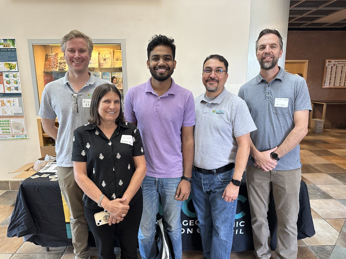
Congratulations to our PhD student, <a href="/Atikul_hoque1/">Atikul Hoque</a>, for receiving the 2024 Jesse Rossbach Memorial Scholarship from the New Mexico Geographic Information Council. Atikul (center) is pictured with NMGIC Board Members Brian Keller, Carol Placchi, Daniel Estrada, and Scott Gunn.