
Chris Roelfsema
@chrisroelfsema
ID: 39237580
11-05-2009 12:01:51
968 Tweet
938 Followers
169 Following
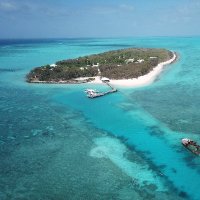
Ever wondered what likes to eat baby crown-of-thorns starfish? Awesome new work conducted at HIRS by Amelia Desbiens Kenny Wolfe Peter Mumby and co 🦀🦀🦀 rdcu.be/c7Dyl
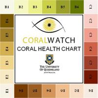

Applied remote sensing research with global impact on conservation of coral reef. Stay tuned for more mapping research and discoveries by the RemoteSensing_UQ team at UQ Science @UQ_sees and its partners, making a difference globally and locally. Mitchell Lyons Stuart Phinn

Inside the most idyllic research station on Earth – and you can visit with @cullendenise Stuart Kininmonth Chris Roelfsema Dr Caitlin Alinya Lawson cosmosmagazine.com/earth/heron-is… #science via Cosmos

Amazing place to visit, study reefs, work, conduct research, snorkel dive and relax. The birth place of the global coral reef mapping methods by RemoteSensing_UQ for the Allen Coral Atlas, powered by ASU. Heron Island Research Station UQ Science @UQ_CBCS @UQ_sees

"It has every single quality that every other research station around the world is desperately trying to achieve and often failing" DeniseCullenWrites Stuart Kininmonth Chris Roelfsema Dr Caitlin Alinya Lawson Cosmos Heron Island Research Station #MarineResearch #CoralReefs cosmosmagazine.com/earth/heron-is…

Always good to teach students about the applied earth observation based mapping and monitoring tools created for the Allen Coral Atlas, powered by ASU by Arizona State University Coral Reef Alliance National Geographic Society Planet

Check it out habitat maps specially fine tuned for Great Barrier Reef Marine Park Authority publicly accessible through GBRMPA reef knowledge system Australian Institute of Marine Science @CoralCoE CoralWatch Reef Check Australia Aust Coral Reef Soc @UQ_CBCS RemoteSensing_UQ UQ Science

Great to spent time with the team plotting plans for the future RemoteSensing_UQ UQ Science


.Greg Asner, director of ASU GDCS, leads the world's largest coral reef mapping program, the Allen Coral Atlas, powered by ASU 🪸 — swipe through to learn how the program is mapping and monitoring the health of coral reefs around the world. #NationalOceanMonth
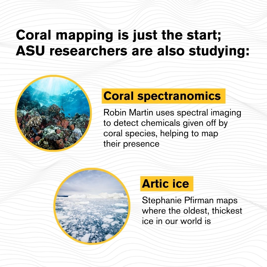


New bleaching alert tool Allen Coral Atlas, powered by ASU , warned me that in parts of Indonesia, coral/algae areas have observed, increased brightness based on #sentinel2 satellite time series analysis and benthic maps RemoteSensing_UQ, UQ Science supporting monitoring and management of coral reefs.


Great to work with you on this great tool to help management of coral reefs. You made a difference pulling the co-founding partners together RemoteSensing_UQ UQ Science

Reef real estate You need a benthic maps to calculate it… RemoteSensing_UQ created them Check out benthic maps for Great Barrier Reef Marine Park Authority gbrmpa.maps.arcgis.com/apps/webappvie… or globally Allen Coral Atlas, powered by ASU Mitchell Lyons Great talk at Australian Marine Sciences Association by Ken Anthony Australian Institute of Marine Science UQ Science



UQ-led research has shown there's more coral reef area across the globe than previously thought, with satellite mapping helping to conserve these vital ecosystems 🌊🛰️ 🔗brnw.ch/21wGWQq UQ Science Mitchell Lyons @chrisroelfsema

Finally the main Allen Coral Atlas, powered by ASU paper is out! The paper acts as a scientific reference and summary of the ACA, including global reef extent, and the distribution of benthic and geomorphic class. Congratulations to paper lead Mitchell Lyons and the ACA team. doi.org/10.1016/j.crsu…
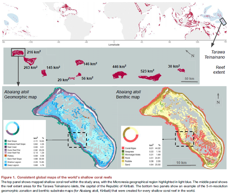

#UQ-led research has found the world's coral reefs are almost 25% larger than we thought 🌊 High-res satellite data is now allowing scientists to measure and map these vital ecosystems in detail. 🔗brnw.ch/21wH4QB The Conversation - Australia + New Zealand UQ Science Mitchell Lyons Stuart Phinn

