
Darren Sweeney (Bluesky @DarrenSweeney)
@darrensweeney
Meteorologist & reporter with 25 years exp. Prof @CCSU.'Like'me on FB facebook.com/WEATHERDARRENS… @NewhouseSU'00 @Ametsoc @NWA certified.
ID: 27796165
http://www.nbcconnecticut.com/station/about-us/Darren-Sweeney.html 31-03-2009 02:46:28
39,39K Tweet
16,16K Followers
5,5K Following


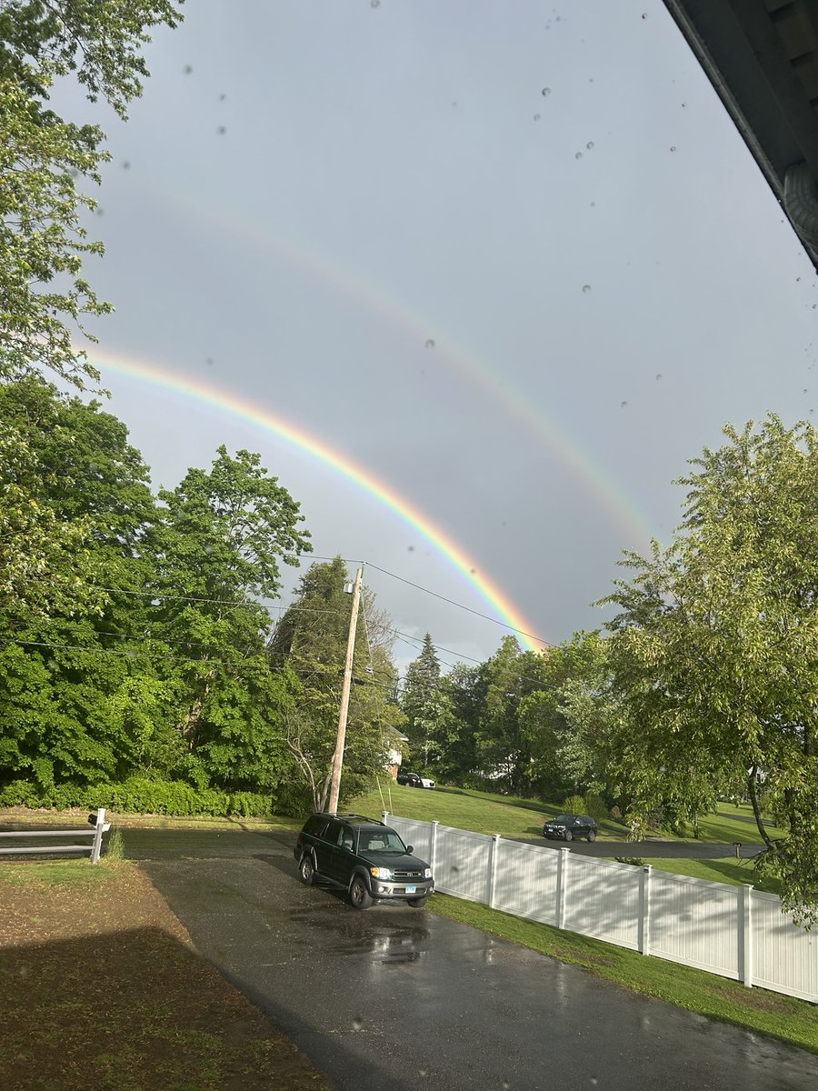
Double rainbow in Shelton! Photo courtesy of my daughter’s boyfriend. Ryan Breton Rachel Frank Darren Sweeney (Bluesky @DarrenSweeney) Garett Argianas Ashley Baylor


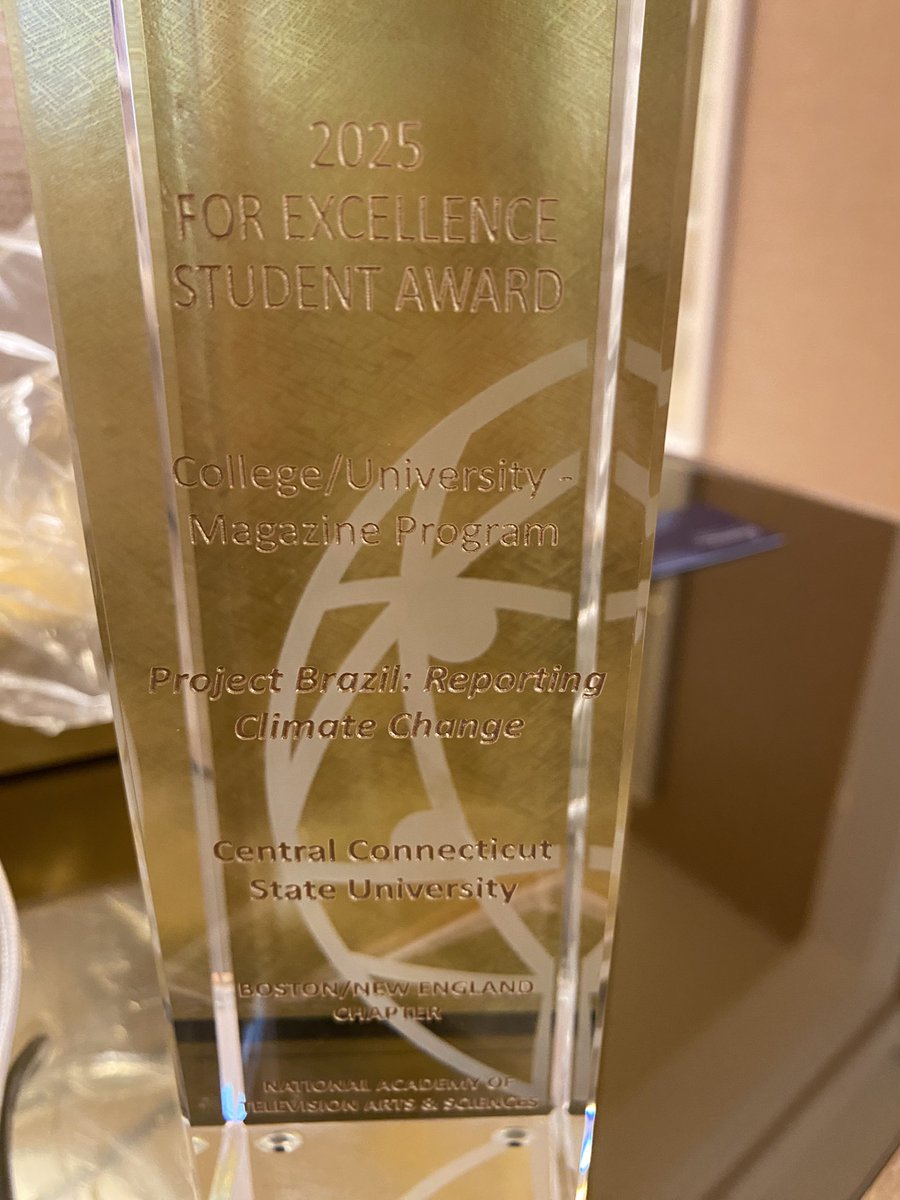
.CCSU Journalism Central Connecticut State University representing at the 48th annual New England Emmy awards. #crystalpillar award of excellence!


When one of your former CCSU Journalism students texts you an update- that they made NBC Nightly News with Tom Llamas tonight 😮. Central Connecticut State University Great job Samantha Bender on a great report.


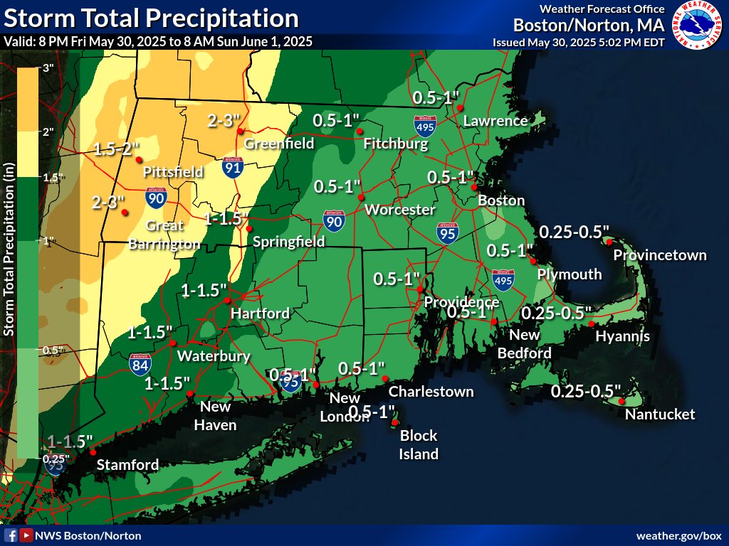
![NWS Boston (@nwsboston) on Twitter photo [Heavy Rain & Strong Winds Thu] A late season Nor'easter brings heavy rain & strong winds along the coast Thu-Thu night. 1-2" of rain with localized 3" amounts may result in pockets of poor drainage street flooding. Northeast winds may gust to between 40 & 50 mph on the coast. [Heavy Rain & Strong Winds Thu] A late season Nor'easter brings heavy rain & strong winds along the coast Thu-Thu night. 1-2" of rain with localized 3" amounts may result in pockets of poor drainage street flooding. Northeast winds may gust to between 40 & 50 mph on the coast.](https://pbs.twimg.com/media/GrbI-dcbAAEZlUB.jpg)
![NWS Boston (@nwsboston) on Twitter photo [Severe Weather/Localized Flash Flood Threat Today] Scattered severe t-storms with damaging wind gusts along with a localized flash flooding exist between noon and 10 pm this evening. The greatest risk is north of the CT/RI border where the activity will be most numerous. [Severe Weather/Localized Flash Flood Threat Today] Scattered severe t-storms with damaging wind gusts along with a localized flash flooding exist between noon and 10 pm this evening. The greatest risk is north of the CT/RI border where the activity will be most numerous.](https://pbs.twimg.com/media/Gsvv3B1XcAA21l2.jpg)

