GeoParquet
@geoparquet
A new format for storing geospatial vector data (point, line, polygon), built on Apache Parquet.
ID: 1529691276647337984
https://geoparquet.org 26-05-2022 05:10:07
105 Tweet
831 Followers
8 Following

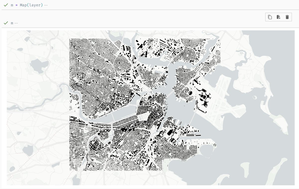
🌟 This #TutorialTuesday, we're exploring another noteworthy tutorial by Qiusheng Wu, including a demo for visualizing the National #Wetlands Inventory dataset on Source Cooperative in GeoParquet format. 📓 leafmap.org/notebooks/84_r… 🗃️beta.source.coop/repositories/g…


Chris Holmes GeoParquet Amazing stuff! Love the add of GERS ID for all records. WOW.


Earth Science Information Partners (ESIP)'s cloud computing cluster speakers: ▪️Nikki Tebaldi- Moving to the Cloud: Migrating a data processing workflow to the AWS Cloud ▪️ Raphael Hagen- Using Kerchunk to make it easier to use climate data ▪️ Kyle Mann- Cloud Optimized Point Cloud ▪️ Kyle Barron- GeoParquet


If you missed the GeoParquet Community Day in San Francisco, you can now catch up on all the lightning talks, demos, and hands-on workshop at your leisure! 📽️ Watch Now: youtube.com/playlist?list=…

🚀 Progress towards supporting efficient spatial queries in the GeoParquet 1.1 spec, in Python, JavaScript, and Rust! It took 12 seconds to fetch this data from the 2.3 BILLION row Overture buildings dataset


In case you missed the Lonboard livestream, it's on YouTube! Check it out for a discussion on spatial data visualization in Python, plus some nuggets of GeoParquet and GeoArrow. youtube.com/watch?v=NAjabS…


GDAL 3.9 was released today with a bunch of updates for GeoParquet, including support for spatial filtering in the upcoming GeoParquet 1.1 version! Credit to @EvenRouault and other GDAL contributors 🙇♂️! github.com/OSGeo/gdal/blo…


Listen in for a discussion on what GeoParquet solves and why you should (or shouldn't) consider using it! We cover how GeoParquet is cloud native, how its compression makes reading and writing faster, and how it integrates with GeoArrow for fast in-memory computing.

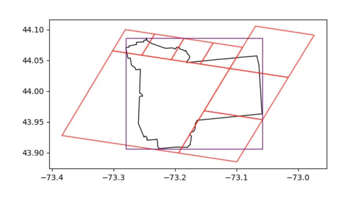
The GeoParquet 1.1 revision is out, adding support for spatial partitioning and native GeoArrow geometries Both have potential to massively speed up working with very large geospatial datasets. Next step is ensuring the ecosystem works with this version github.com/opengeospatial…

The initial goal of GeoParquet might have been modest. Its ultimate goal is a future where #geospatial data is integrated across the data landscape. Read Chris Holmes & Javier de la Torre's blog post to learn more about breaking the 'GIS' data silo. cloudnativegeo.org/blog/2024/07/e…


Exciting to see Overture Maps Foundation leveraging Protomaps https://bsky.app/profile/protomaps.com PMTiles for fast map visualization & GeoParquet for analysis-ready data downloads - all client-side 🤯! A great example of open-source tech empowering geospatial exploration. #OpenData #Geospatial

BigQuery now supports GeoParquet when exporting Geography values. cloud.google.com/bigquery/docs/… Metadata would have encoding=WKB, orientation=counterclockwise, edges=geodesic.

First blog post in a long time! I started writing a post ~2 years ago on adventures counting 130M U.S. buildings by zipcode and finally circled back to write it up. Everybody is a winner really, but DuckDB Ibis , ApacheArrow, and GeoParquet were essential throughout!


