Geo Week News (@geoweeknews) 's Twitter Profile
Geo Week News

@geoweeknews

Geo Week News covers the intersection between 3D tech, geospatial and the built world. Come see us in 2026!

ID: 188441683

linkhttp://www.geoweeknews.com calendar_today08-09-2010 18:58:45

9,9K Tweet

5,5K Followers

2,2K Following

Geo Week News (@geoweeknews) 's Twitter Profile Photo

🌍 Chart solutions. Shape change. UC's online MS in Geographic Information Systems (MS-GIS) equips you to design, manage & analyze geospatial data—100% online and flexible for working professionals. Ready to map your future? 👉bit.ly/UniversityofCi…

🌍 Chart solutions. Shape change. UC's online MS in Geographic Information Systems (MS-GIS) equips you to design, manage & analyze geospatial data—100% online and flexible for working professionals. Ready to map your future? 👉bit.ly/UniversityofCi…
Geo Week News (@geoweeknews) 's Twitter Profile Photo

BIG NEWS: Geo Week 2026 registration is open. Three days in Denver. Thousands of geospatial professionals. The latest technology, insights, and connections all in one place. Are you in? Register today: bit.ly/GW26REGOPEN

BIG NEWS: Geo Week 2026 registration is open.

Three days in Denver. Thousands of geospatial professionals. The latest technology, insights, and connections all in one place.

Are you in? Register today: bit.ly/GW26REGOPEN
Geo Week News (@geoweeknews) 's Twitter Profile Photo

DOTs can benefit massively from #geospatial tech, but getting buy-in is a big hurdle. Starting small, showing ROI fast, and having an internal champion make all the difference. Read more >> bit.ly/3KyVIzB #GeoWeek

DOTs can benefit massively from #geospatial tech, but getting buy-in is a big hurdle. Starting small, showing ROI fast, and having an internal champion make all the difference. Read more >> bit.ly/3KyVIzB #GeoWeek
Geo Week News (@geoweeknews) 's Twitter Profile Photo

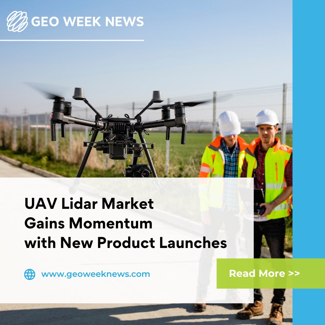
The #UAV #LiDAR market is rapidly advancing in 2025, with new systems offering better precision, efficiency, and broader use. Companies are pushing the tech into infrastructure and #bathymetric mapping. Read more >> bit.ly/4nBae8H #GeoWeek

The #UAV #LiDAR market is rapidly advancing in 2025, with new systems offering better precision, efficiency, and broader use. Companies are pushing the tech into infrastructure and #bathymetric mapping. Read more >> bit.ly/4nBae8H #GeoWeek
Geo Week News (@geoweeknews) 's Twitter Profile Photo

After replacing a broken part, the team flew their #laser system over the jungle canopy to map #terrain from 4,000 ft above ground. On the return, they landed on a makeshift runway carved in the forest just in time to avoid a storm. Read more >> bit.ly/4o2Q72V #GeoWeek

After replacing a broken part, the team flew their #laser system over the jungle canopy to map #terrain from 4,000 ft above ground. On the return, they landed on a makeshift runway carved in the forest just in time to avoid a storm. Read more >> bit.ly/4o2Q72V #GeoWeek
Geo Week News (@geoweeknews) 's Twitter Profile Photo

.Topcon Positioning Systems has launched a dedicated geomatics business to expand its #surveying, #GIS, and #geospatial offerings. The move signals that spatial intelligence is central to how all sectors will operate in the future. Read more >> bit.ly/42sguHk #GeoWeek
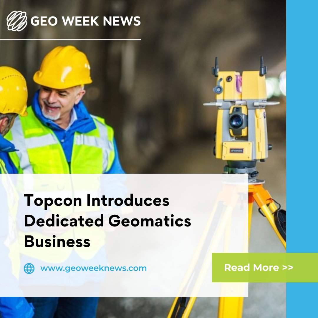
.<a href="/topcon_today/">Topcon Positioning Systems</a> has launched a dedicated geomatics business to expand its #surveying, #GIS, and #geospatial offerings. The move signals that spatial intelligence is central to how all sectors will operate in the future. Read more &gt;&gt; bit.ly/42sguHk #GeoWeek
Geo Week News (@geoweeknews) 's Twitter Profile Photo

A UK initiative is inspiring students to pursue careers in geography, #geoscience, and #environmentaltech using classroom tools & industry voices. Oriented imagery workflows are also helping #GIS pros turn raw visuals into usable data. Read more > bit.ly/46ZVxVB #GeoWeek

A UK initiative is inspiring students to pursue careers in geography, #geoscience, and #environmentaltech using classroom tools &amp; industry voices. Oriented imagery workflows are also helping #GIS pros turn raw visuals into usable data.
Read more &gt; bit.ly/46ZVxVB #GeoWeek
Geo Week News (@geoweeknews) 's Twitter Profile Photo

Neural Processing Units (#NPUs) are helping devices handle #AI tasks like NeRFs, dense point clouds, and image processing right in the field. Light-weight, efficient hardware means faster insights for #geospatial workflows at the edge. Read more > bit.ly/4mT8Vkp #GeoWeek

Neural Processing Units (#NPUs) are helping devices handle #AI tasks like NeRFs, dense point clouds, and image processing right in the field. Light-weight, efficient hardware means faster insights for #geospatial workflows at the edge.
Read more &gt; bit.ly/4mT8Vkp #GeoWeek
Geo Week News (@geoweeknews) 's Twitter Profile Photo

.Caty Trimble is launching its new #datacollector line built for rugged use and nonstop #connectivity. Integrated workflows via Trimble Connect® and WorksManager help teams cut errors and work more efficiently. Read more >> bit.ly/491DXTB #GeoWeek

.<a href="/Trimble/">Caty Trimble</a> is launching its new #datacollector line built for rugged use and nonstop #connectivity. Integrated workflows via Trimble Connect® and WorksManager help teams cut errors and work more efficiently. Read more &gt;&gt; bit.ly/491DXTB #GeoWeek
Geo Week News (@geoweeknews) 's Twitter Profile Photo

Meet the 2026 Advisory Board, innovators and experts driving progress across the geospatial and 3D technology ecosystem. Full Press Release: bit.ly/GW26ADVIBOARD

Meet the 2026 Advisory Board, innovators and experts driving progress across the geospatial and 3D technology ecosystem.

Full Press Release: bit.ly/GW26ADVIBOARD
Geo Week News (@geoweeknews) 's Twitter Profile Photo

AI can process spatial data fast — but it still needs human judgment. Even with tools from Esri, Trimble Inc. and Hexagon, accuracy and ethics require experts in the loop. Read more >> bit.ly/4onjI7A #GeoWeek #GeoAI #GIS #DataScience

AI can process spatial data fast — but it still needs human judgment. Even with tools from <a href="/Esri/">Esri</a>, <a href="/TrimbleCorpNews/">Trimble Inc.</a> and <a href="/HexagonAB/">Hexagon</a>, accuracy and ethics require experts in the loop.
Read more &gt;&gt; bit.ly/4onjI7A #GeoWeek #GeoAI #GIS #DataScience
Geo Week News (@geoweeknews) 's Twitter Profile Photo

. Bentley Systems, Inc unveiled new #AI tools for design, construction, and ProjectWise search to cut rework and speed decisions. The new Infrastructure AI Co-Innovation Initiative invites users to help shape future workflows. Read more >> bit.ly/4n70m5u #GeoWeek #DigitalTwin

.
<a href="/BentleySystems/">Bentley Systems, Inc</a>
unveiled new #AI tools for design, construction, and ProjectWise search to cut rework and speed decisions. The new Infrastructure AI Co-Innovation Initiative invites users to help shape future workflows. Read more &gt;&gt; bit.ly/4n70m5u #GeoWeek #DigitalTwin
Geo Week News (@geoweeknews) 's Twitter Profile Photo

LiDAR is being used to map rainforest structure in while floating #LiDAR buoys collect offshore wind data for resource modeling. These applications show how geospatial tools support both #conservation and energy development. Read more >> bit.ly/46V6skC #GeoWeek

LiDAR is being used to map rainforest structure in while floating #LiDAR buoys collect offshore wind data for resource modeling. These applications show how geospatial tools support both #conservation and energy development.
Read more &gt;&gt; bit.ly/46V6skC #GeoWeek
Geo Week News (@geoweeknews) 's Twitter Profile Photo

.Bentley Systems, Inc centered AI at its Year in Infrastructure event, showcasing how #AI, open data, and #geospatial tools are shifting infrastructure workflows. Read more >> bit.ly/47i0r06 #GeoWeek

.<a href="/BentleySystems/">Bentley Systems, Inc</a> centered AI at its Year in Infrastructure event, showcasing how #AI, open data, and #geospatial tools are shifting infrastructure workflows. Read more &gt;&gt; bit.ly/47i0r06 #GeoWeek
Geo Week News (@geoweeknews) 's Twitter Profile Photo

New advances are combining historic archives, #GPR, #Lidar, and sonar to map layers beneath cities, coasts, and seabeds. The result: richer urban, heritage, and marine models that blend past and present. Read more >> bit.ly/3Jp3Ja3 #GeoWeek #Geospatial #Subsurface #SFM

New advances are combining historic archives, #GPR, #Lidar, and sonar to map layers beneath cities, coasts, and seabeds. The result: richer urban, heritage, and marine models that blend past and present. Read more &gt;&gt; bit.ly/3Jp3Ja3 #GeoWeek #Geospatial #Subsurface #SFM
Geo Week News (@geoweeknews) 's Twitter Profile Photo

It’s here! The 2026 Geo Week Conference Program features over 50 sessions on 3D mapping, AI, lidar, digital twins & more, plus content by ASPRS and Reality Capture Network. View the full lineup: bit.ly/GW26CONFERENCE

It’s here! The 2026 Geo Week Conference Program features over 50 sessions on 3D mapping, AI, lidar, digital twins &amp; more, plus content by ASPRS and Reality Capture Network.   

View the full lineup: bit.ly/GW26CONFERENCE
Geo Week News (@geoweeknews) 's Twitter Profile Photo

Surveying is expanding beyond boundaries into monitoring, reality capture, and AI workflows. Experts from LeicaGeosystems and Hexagon Geosystems say core skills still drive the future. Read more >>bit.ly/4qpebiz #GeoWeek #Surveying #AI

Surveying is expanding beyond boundaries into monitoring, reality capture, and AI workflows. Experts from <a href="/LeicaGeosystems/">LeicaGeosystems</a> and <a href="/HexagonGeo/">Hexagon Geosystems</a> say core skills still drive the future.
Read more &gt;&gt;bit.ly/4qpebiz #GeoWeek #Surveying #AI
Geo Week News (@geoweeknews) 's Twitter Profile Photo

WEBINAR: Unlock the full potential of 3D reality data. Discover how to turn photo datasets into powerful 3D reconstructions, analyze them with AI, and share results that drive real-world decisions. Register Today: bit.ly/BENTLEYNOV20

Geo Week News (@geoweeknews) 's Twitter Profile Photo

In today’s data-rich GIS environments, imagery is more valuable than ever. In this webinar, Matt Plummer of ROK Technologies, LLC will walk through practical strategies for publishing, managing, and delivering geospatial imagery in the cloud. Register: bit.ly/ROKTECHNOV5

In today’s data-rich GIS environments, imagery is more valuable than ever. In this webinar, Matt Plummer of ROK Technologies, LLC will walk through practical strategies for publishing, managing, and delivering geospatial imagery in the cloud.

Register: bit.ly/ROKTECHNOV5
Geo Week News (@geoweeknews) 's Twitter Profile Photo

Thousands of professionals from around the world gather at Geo Week to share ideas, form partnerships, and shape the future of geospatial technology. Build your network and your impact. REGISTER TODAY: bit.ly/GW26REG