Jon Salter
@jondsalter
Director of Education and Research, Esri Canada
ID: 1103294275247312896
06-03-2019 14:00:28
298 Tweet
186 Followers
234 Following

Integrating Space, Time and Geography with ArcGIS Insights - McMaster University #ECCEassociate Alex Furukawa: bit.ly/3HORPS9 Mike Waddington McMaster SEES McMaster Faculty of Science Patrick DeLuca Darren M. Scott Jon Salter


That is a wrap on Spatial Knowledge and Information Canada 2023. A huge thank you to all participants for making it a success and to our platinum sponsor Esri Canada for making it possible. #ski2023


This week we have 4 teams competing in the ECCE app challenge. We have won 2 years on a row and placed in top 3 for past 7. Will the trend continue? Go McMaster University go! McMaster Faculty of Science McMaster SEES

Where is the #Carbon? Spatially mapping carbon on the #seafloor - Dalhousie University ECCE associate Catherine Brenan: bit.ly/42sXmHz Dalhousie Libraries James Boxall (flying off to @jamesgis.bsky.social) @ChrisSGreene Earth and Environmental Sciences Dalhousie Chemistry DalENVS Jon Salter @SandsofJura

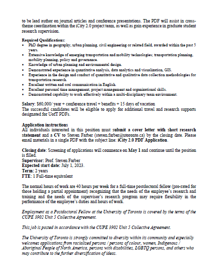
We're hiring again! Come join our incredible team as a postdoctoral fellow on the Mobility Network iCity2.0 and Mobilizing Justice Partnership projects! utoronto-my.sharepoint.com/:b:/g/personal…


🚨 Picture a GIS Expert Alert🚨 1/🧵We're thrilled to have Chris North Chris North, Director of Technology Adoption @EsriCanada as our first guest for the #PictureGISExpert weekly series! Please join us to welcome Chris! #GISExpert #FirstGuest ECCE GIS in Education


🚨 Picture a GIS Expert Alert🚨 1/🧵This week of our #PictureGISExpert weekly series, we’re happy to have Victoria Fast @VVfast, Associate professor UCalgary Geography, join us and share her expertise and passion for GIS. #GISExpert #HigherEd #GISCommunity U Calgary UCalgary Arts


Check out this great blog by our team members who used ArcGIS Maps SDK for Unity to create a VR app that allows urban planners and members of the public to experience and evaluate Complete Street scenarios in an immersive way. #VR #UrbanPlanning #developer Esri Developers 🏙️🚗 🚶🚴


🚨 Picture a GIS Expert Alert🚨 1⃣🧵 This week of our #PictureGISExpert series, we’re happy to have René Duplain René Duplain, a Research Librarian at Université d'Ottawa | University of Ottawa, join us and share his expertise and passion for GIS. #GISExpert #HigherEd uOttawa GEG-ENV Bibliothèque uOttawa Library


🚨 Picture a Future GIS Expert Alert🚨 1⃣/🧵 This week, we’re happy to have Robiah Al Wardah Robiah Al Wardah an intern student with our team at Esri Canada and a Ph.D. student at Queen’s Univ. Queen's University join us and share her expertise and passion for GIS a. #FutureGISExpert #HigherEd


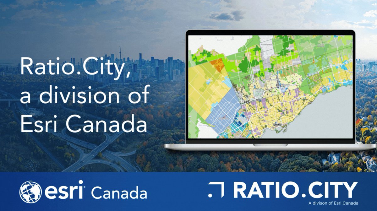
Pleased to welcome Ratio.City, a division of Esri Canada to Esri Canada! With this acquisition, we're offering a solution for accelerating the design and approval of more affordable housing. Read more: ow.ly/Bixm50PInNZ #affordablehousing #urbanplanning #cdnpoli


It’s #NSCCOpenHouse, today! Lots of info (& campus-specific schedules, too) at nscc.ca/open house CC: Nova Scotia Community College - NSCC @NSCCavc


Read about 3D visualization of sea level rise and storm surge in the Halifax Harbour Waterfront in the latest blog by Cameron Robertson: bit.ly/40ro02V Dalhousie University Dalhousie Libraries DalArchPlan eric kennedy rapaport Jon Salter @SandsofJura


