Kaspar Kundert
@kasparkundert
Senior Expert GIS & Geodata4Africa
ID: 2395170306
17-03-2014 22:12:16
210 Tweet
359 Followers
233 Following


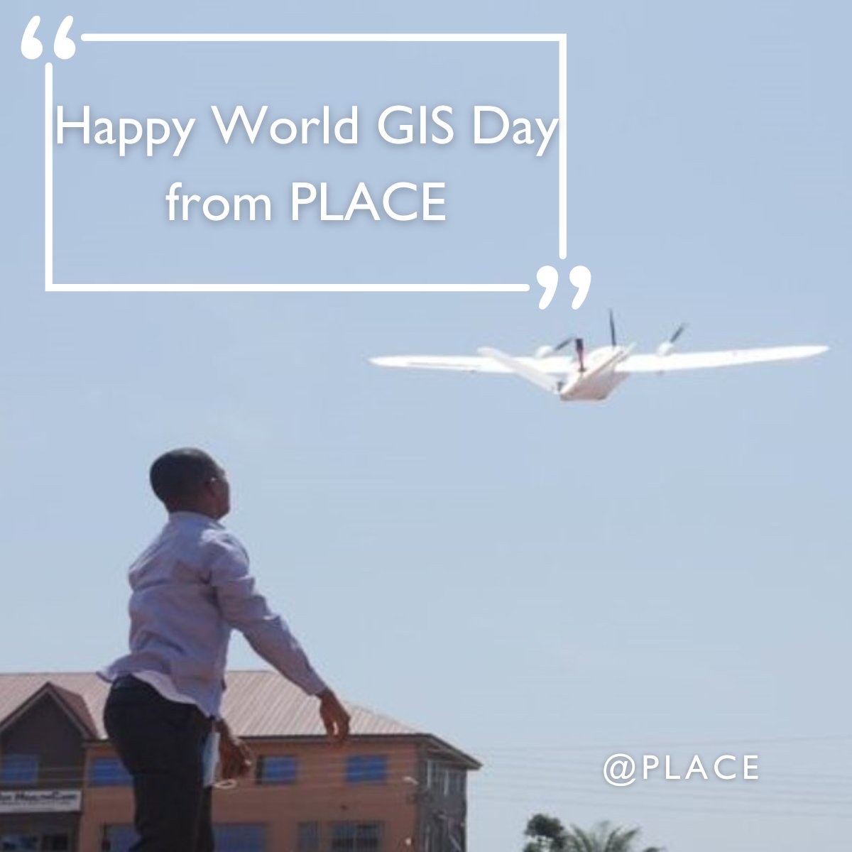
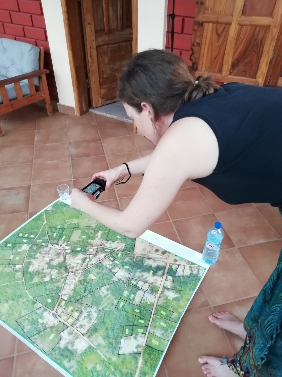
Complementing this excellent piece, I'd add: Map whereever you are and involve local communities as SmartLandMaps currently does in Benin
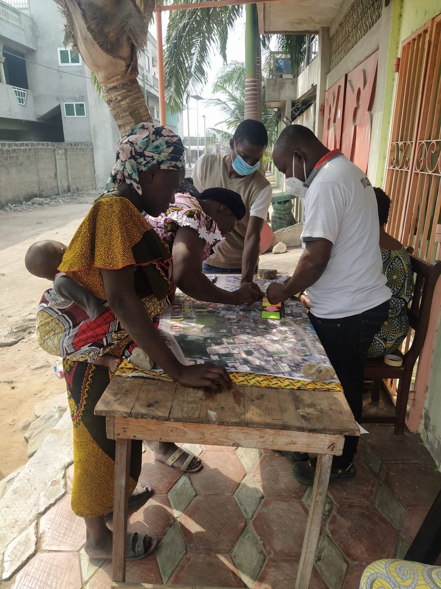

The map drawn today by the community of Houègoudu (Commune de Zè, Benin) enters the SmartLandMaps digitization and vectorization process. Many thanks to all involved

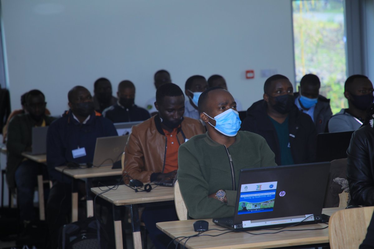
#HappeningNow: Geospatial Analytics Training Course. It's a partnership between @CoErwanda and #KarisokeResearchCenter along with German partners. This is taking a place at #NewEllenDegenerescampus Musanze District Dian Fossey Gorilla Fund University of Rwanda Beth Kaplin #Threads




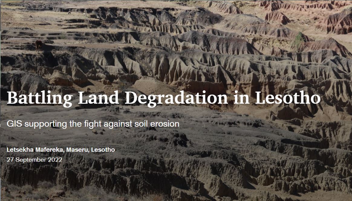
This week we celebrate #LetsekhaMafereka's submission for the RCMRD 🇰🇪 🇺🇬 🇸🇴 🇹🇿 🇲🇼 🇰🇲 🇿🇲 🇱🇸 🇸🇿 2022 #mapcompetition, which was the overall People's Choice winner! #StoryMaps Here is his story on how Lesotho is battling land degradation > storymaps.arcgis.com/stories/deea73…


Session Harnessing the Power of Geospatial Data and Urban Dynamic Mapping for Smarter and Inclusive City Development by PLACE & Enabel in Rwanda. Kaspar Kundert, highlights the pivotal role of geospatial data, comprising 80% of all data, in advancing smart cities and


On hour of idling the engine of a small car costs you RWF 1000 and it pollutes. Rwanda Environment Management Authority: Could we think about a #RwandaMovesClean campain.


