Lee Haywood
@leehaywoodwx
WWAY Chief Meteorologist. UNC-Asheville grad. The postings on this site are my own and do not represent the views, positions, or opinions of WWAY.
ID: 22767693
https://www.facebook.com/WWAY-Chief-Meteorologist-Lee-Haywood-206886219344080/ 04-03-2009 13:10:06
32,32K Tweet
5,5K Followers
4,4K Following



Big time electrical show going on off the coast of #TybeeIsland. Absolutely wild out here! Looks like a war zone with all the CG flashes! #GAwx #GAwxCond NWS Charleston, SC Jeremy Nelson Alysa Carsley Andrew Gorton WTOC Brady Harris Storm Front Freaks Network WeatherWise.app The Weather Channel Jim Cantore


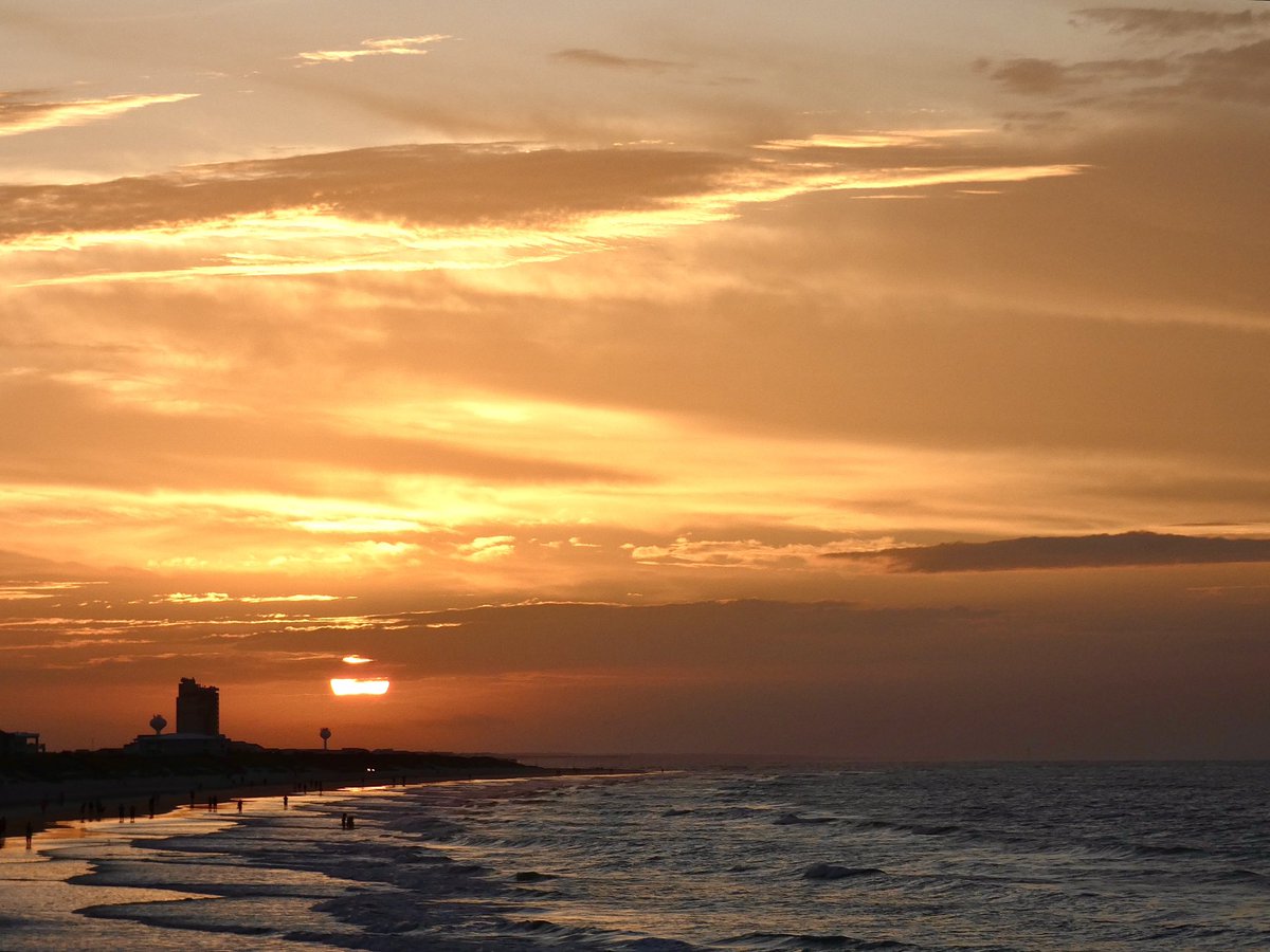
Good morning! #SunsetBeach Ed Piotrowski Gannon Medwick Dylan Hudler Jackie Pascale Jamie Arnold WMBF Lee Haywood Cassie Clark Marion Caldwell Justin McKee The Starboard Rail #ThePhotoHour Christina Anthony Christian Morgan Andrew Dockery Scotty Powell Jenna Greenhill Tim Buckley Meteorologist Matt Bullock


Good morning!🙏🏻 #SunsetBeach Ed Piotrowski Gannon Medwick Dylan Hudler Jackie Pascale Jamie Arnold WMBF Lee Haywood Cassie Clark Marion Caldwell Justin McKee The Starboard Rail #ThePhotoHour Christina Anthony Christian Morgan Andrew Dockery Scotty Powell Jenna Greenhill Tim Buckley Meteorologist Matt Bullock
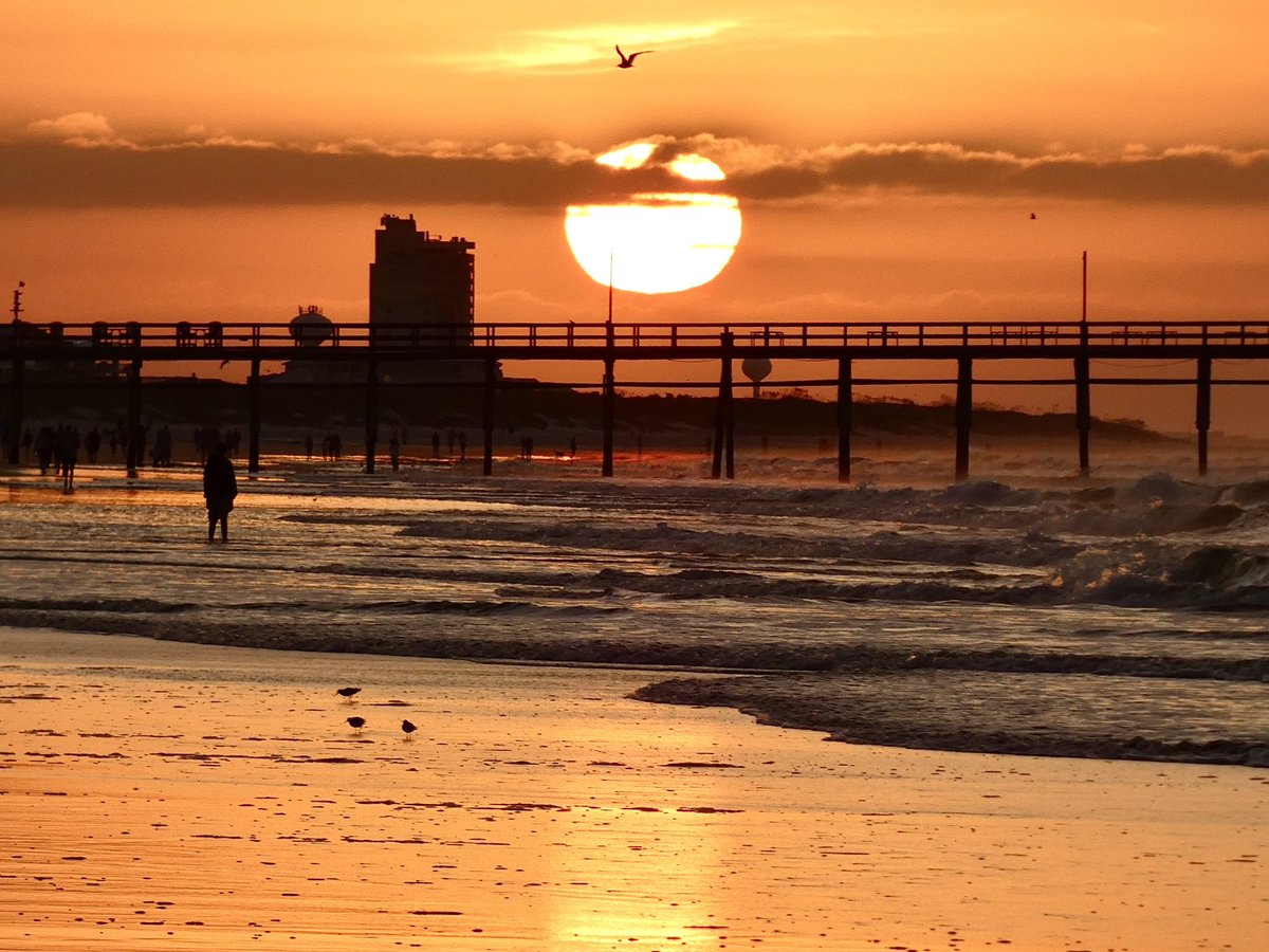

Good morning! #SunsetBeach Ed Piotrowski Gannon Medwick Dylan Hudler Jackie Pascale Jamie Arnold WMBF Lee Haywood Cassie Clark Marion Caldwell Justin McKee The Starboard Rail #ThePhotoHour Christina Anthony Christian Morgan Andrew Dockery Scotty Powell Jenna Greenhill Tim Buckley Meteorologist Matt Bullock


Good morning! #SunsetBeach Ed Piotrowski Gannon Medwick Dylan Hudler Jackie Pascale Jamie Arnold WMBF Lee Haywood Cassie Clark Marion Caldwell Justin McKee The Starboard Rail #ThePhotoHour Christina Anthony Christian Morgan Andrew Dockery Scotty Powell Jenna Greenhill Tim Buckley Meteorologist Matt Bullock
Had to dodge some showers this morning, but on the bright side, we did see a pirate ship! (🏴☠️ at the :20 mark) 📍Masonboro Island, #NCwx Gannon Medwick Lee Haywood James Spann Jim Cantore WRAL Kat Campbell Brad Panovich WeatherNation #StormHour FOX Weather

We’re in for a washing in the Port City! 📍Wilmington, #NCwx Gannon Medwick Lee Haywood James Spann Jim Cantore WRAL Kat Campbell Brad Panovich WeatherNation #StormHour FOX Weather Scotty Powell Jamie Arnold WMBF

Good morning!⛈️⚡️ #SunsetBeach Ed Piotrowski Gannon Medwick Jackie Pascale Jamie Arnold WMBF Lee Haywood Cassie Clark Marion Caldwell Justin McKee The Starboard Rail #ThePhotoHour Christian Morgan Christina Anthony Andrew Dockery Scotty Powell Jenna Greenhill Tim Buckley Meteorologist Matt Bullock Claire Fry
