Mark Grosvenor
@mjgrosvenor
Wildfire researcher at King's College London. Also specialist in past environmental change.
ID: 1734458905
06-09-2013 08:12:23
750 Tweet
345 Followers
312 Following

Job alert! If you are looking for a technical role that involves lots of travel opportunities and remote sensing instruments we have just the thing for you jobs.kcl.ac.uk/gb/en/job/0575… You'll get to work with a wide range of collaborators including European Space Agency NASA JPL NERC NCEO British Antarctic Survey 🐧

Our first air quality sensors are up and running in the beautiful country of Laos! Working together with our collaborators, these will form a network across parts of SE Asia to measure the impact of fire smoke on #AirQuality Leverhulme Centre for Wildfires 🔥 King's Geography


Satellite data shows that landscape fires in SE Asia lead to poor air quality. But how accurate are they? Our researchers Mark Grosvenor, Hannah Nguyen, and Prof Martin Wooster, set up remote sensors to gather ground data on air quality. Learn more 👇 bit.ly/3MUG1lC


Our install team have arrived in Canada to fit out the British Antarctic Survey 🐧 aircraft with all our thermal remote sensing instruments before we begin flying over forest fires for our ESA Earth Observation project. Just a little extra equipment on top of the main shipment King's Geography


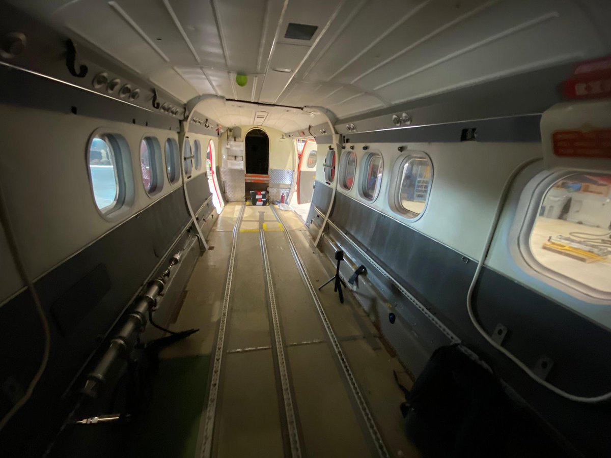
The challenge now is to convert this empty aircraft into a flying instrument lab! Just 15 instruments to be installed ESA Earth Observation British Antarctic Survey 🐧 Leverhulme Centre for Wildfires 🔥 King's Geography NERC NCEO


The Kings-NCEO: Earth Obs & Wildfire Research Group thermal instruments are in the camera hatch on the aircraft! 2 days of installing instruments, computers, and a silly amount of cables. Plane now very full! Hopefully ready for a test flight over a #wildfire in Ontario today. ESA Earth Observation King's Geography

The Kings-NCEO: Earth Obs & Wildfire Research Group thermal instruments are in the aircraft camera hatch! 2 days to install all instruments, computers, and a silly amount of cables. The plane is now looking very full! Hopefully ready for a test flight today over a #wildfire in Ontario ESA Earth Observation King's Geography


Meanwhile, at lower altitude the Kings-NCEO: Earth Obs & Wildfire Research Group 'ground' team were also collecting samples of wildfire smoke. Did not think being a scientist would involve doing this kind of thing! King's Geography Leverhulme Centre for Wildfires 🔥 NERC NCEO


My (first!) paper was published in AMT today. Our findings suggest that remotely sensing combustion phase can help to improve fire emission estimates: doi.org/10.5194/amt-17… Kings-NCEO: Earth Obs & Wildfire Research Group Mark Grosvenor King's Geography Leverhulme Centre for Wildfires 🔥 The London NERC DTP

Our study on the impacts of tropical peatland fire smoke in Indonesia is now out! We estimated the scale of health impacts of exposure to a population using earth observation data from CAMS and PurpleAir - Air Quality Monitors sensors to measure PM2.5
