Map Kibera
@mapkibera
Started w/the 1st open digital map of Kibera. We increase influence & representation of marginalized communities thru creative use of digital tools 4 change
ID: 76654826
http://mapkibera.org 23-09-2009 14:21:00
1,1K Tweet
3,3K Followers
233 Following

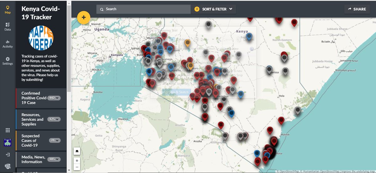
Thank you to Humanitarian OpenStreetMap Team, and all our donors via GlobalGiving! We are working hard on kenyacovid19.ushahidi.io/views/map - keep checking back for more updates! We’ll soon be adding many more health features on the OpenStreetMap basemap. Ushahidi #OSM #COVID19


.Map Kibera is mapping Kenya’s largest slum to slow the spread of #COVID19 . They've added over 1000 points of interest on the Ushahidi platform including handwashing points and food, mask, and soap distribution points. They've also hosted 4 training sessions for 20 participants.

“#Dataprivacy challenges can be overcome with respect, partnership, and education.” Erica Hagen Map Kibera #opendata


We are hosting the webinar "Mapping for Covid-19 Response and Resilience" on Friday, 20 Nov, at 12pm UTC. RSVP now! bit.ly/35D1ic9 We'll be talking to reps from three OSM communities - Humanitarian Mappers, Map Kibera, @mapuganda - as well as the Covid-19 Activation Team


Researchers and residents are turning to open-source data tools to fill information gaps about informal settlements that often get left off official maps bloomberg.com/news/articles/… via Bloomberg CityLab

Community spotlight – Map Kibera In November 2009, Map Kibera produced the first complete free and open map of Kibera. Young residents of Kibera learned to create maps using #OpenStreetMap techniques. More information about Map Kibera is available here: mapkibera.org
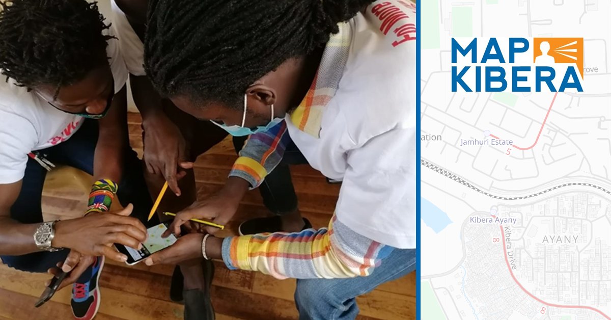


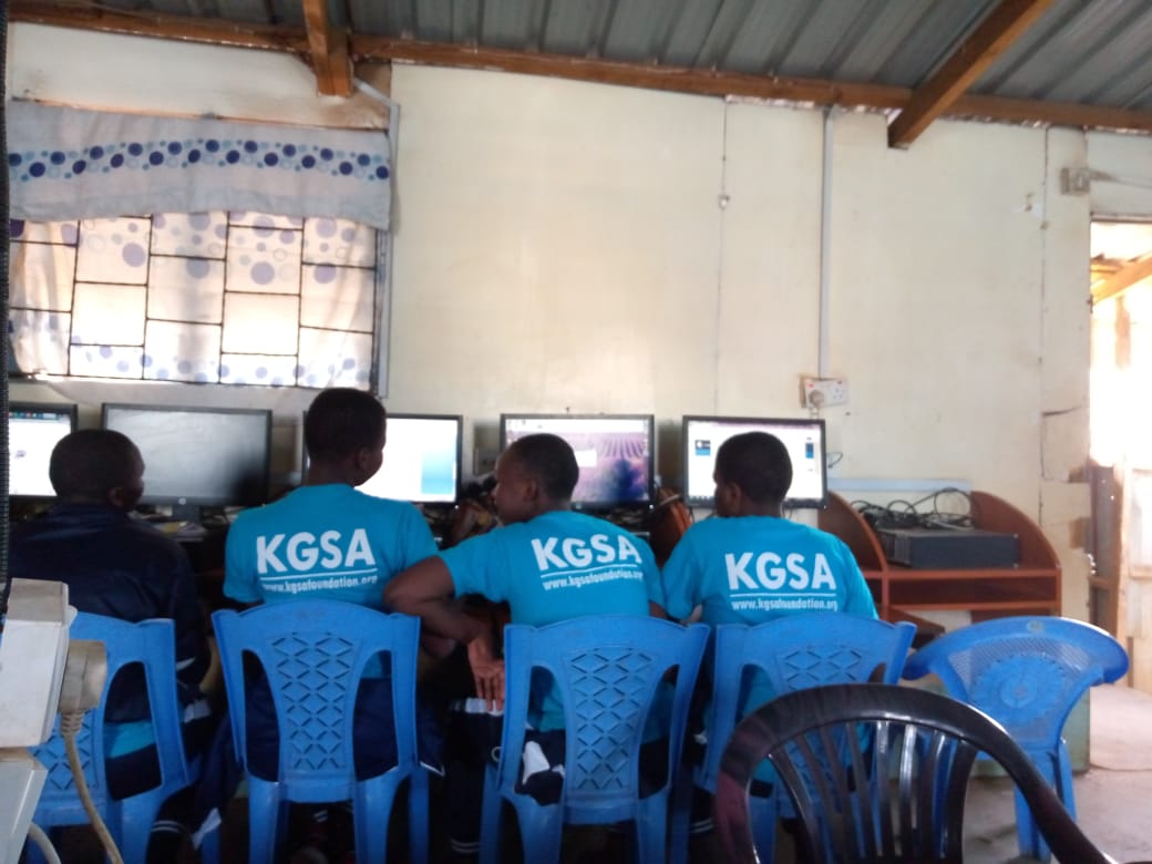
Map Kibera and YouthMappers have been conducting training on open mapping to demonstrate the importance of #OSM in identifying and addressing the different challenges facing communities within their locality and beyond. Laura Mugeha youtube.com/watch?v=Qtx2xj…

Fell down an OSM rabbithole today... discovered the bestofosm.org - particularly amazed at the quality of OSM building data in Kibera, SW Nairobi, and then discovered the amazing Map Kibera project! And here they are mapped! 👉#day3 #polygons #30daymapchallenge


#30DayMapChallenge Day 9: This is a #viz showing the distribution of security lights in Kibera that are currently operational. Data Source: Map Kibera

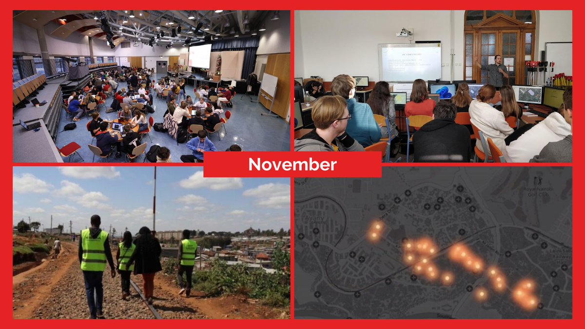
🗺⚡️Year in Pictures: GeoWeek2022 mapathons & mapping security lights with Map Kibera During Geography Awareness Week in November, MSF International organized several mapathons that brought together volunteers from around the world for #humanitarianmapping.


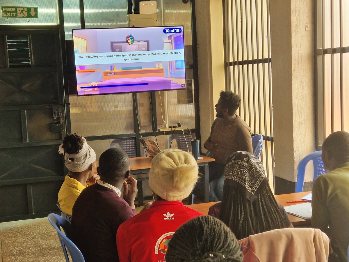
In partnership with Livelihood Impact Fund, the Map Kibera team are currently conducting a mobile data collection training session at Kibera Town Centre, led by Zacharia Muindi. #EmpoweringTheCommunity #MeasuringImpact
