Nomad Maps (@mapsnomad) 's Twitter Profile
Nomad Maps

@mapsnomad

Collaborative mapping project created by Alban Vivert in 2018 🌎🚴
traveling, biking, hiking, discovering and meeting. #osm #collaborativemapping #bike

ID: 1044599172693938182

linkhttp://www.nomadmaps.net calendar_today25-09-2018 14:47:05

83 Tweet

132 Followers

143 Following

@teritorio.fr (@teritorio_fr) 's Twitter Profile Photo

Le Pays Adour #Landes Océanes fera la cartographie de son Projet Alimentaire Territorial en s'appuyant chaque fois que possible sur #OpenStreetMap (+données) - Travail déjà engagé par le Seignanx et Saint-Paul-lès-Dax avec ce bien commun numérique - Content des les accompagner.

Mapillary (@mapillary) 's Twitter Profile Photo

🚴What does it take to map Latin America by bike? A smartphone and a Mapillary account. 🗺️Nomad Maps captured 110k images on a 6-month bike trip through LatAm and used the imagery to improve OpenStreetMap. 👇Get the full story below! ow.ly/KHAP50yxoyi

Donat ROBAUX ن (@drobaux) 's Twitter Profile Photo

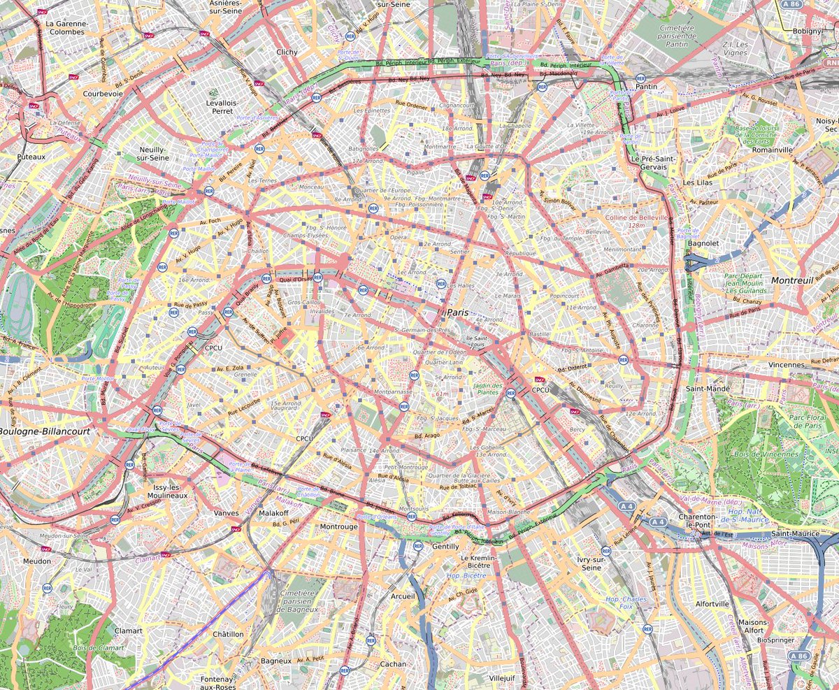
Grâce à la force de frappe de la communauté OpenStreetMap France, la totalité des services de #réanimation sont cartographiés dans #OpenStreetMap ainsi que tous les services d'accueil des urgences. Ces données sont donc disponibles pour les besoins cartos de tous. Faites passer le mot.
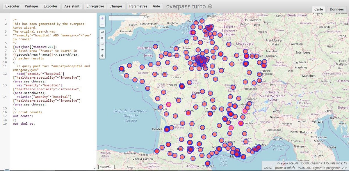
Grâce à la force de frappe de la communauté <a href="/OSM_FR/">OpenStreetMap France</a>, la totalité des services de #réanimation sont cartographiés dans #OpenStreetMap ainsi que tous les services d'accueil des urgences. 
Ces données sont donc disponibles pour les besoins cartos de tous.
Faites passer le mot.
Mapillary (@mapillary) 's Twitter Profile Photo

🗞️It's Mapillary news!🗞️ This month's newsletter covers ways to improve the map in the fight against Covid-19, how one man cycled across South America and improved the map in the process, and lots more. Read it below! mailchi.mp/mapillary/news…

Claire C-G. (@claire_glt) 's Twitter Profile Photo

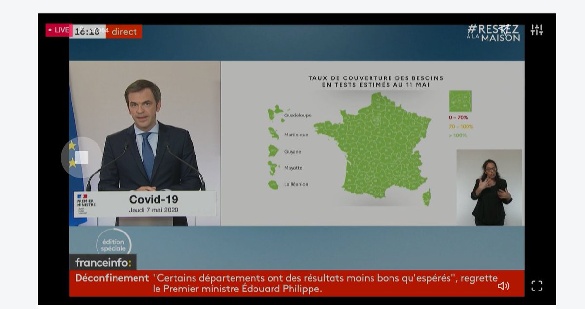
"La #carte est pour le moins limpide". 🤔 Quelle est la source des #données ? Comment ont été estimés les besoins, comptabilisés les tests, leur disponibilité ? Merci à O. Véran pour ce bel exemple de recours à la (fausse) évidence de la carte, très utile pour des cours à venir !

"La #carte est pour le moins limpide".
🤔 Quelle est la source des #données ? Comment ont été estimés les besoins, comptabilisés les tests, leur disponibilité ?
Merci à O. Véran pour ce bel exemple de recours à la (fausse) évidence de la carte, très utile pour des cours à venir !
PoliMappers (@polimappers) 's Twitter Profile Photo

Can you spot the differences? 📷 The green dotted lines represent the new photo sequences captured and uploaded on Mapillary by the students of "Architecture 4 Smart City" last week in Piacenza. Impressive results from the collab w/ IMM Design Lab YouthMappers | OpenStreetMap
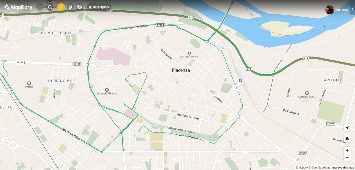
Can you spot the differences? 📷
The green dotted lines represent the new photo sequences captured and uploaded on <a href="/mapillary/">Mapillary</a> by the students of "Architecture 4 Smart City" last week in Piacenza.
Impressive results from the collab w/ <a href="/immdesignlab/">IMM Design Lab</a>
<a href="/youthmappers/">YouthMappers</a> | <a href="/openstreetmap/">OpenStreetMap</a>
CartONG (@assoccartong) 's Twitter Profile Photo

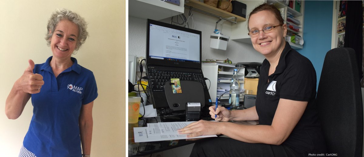
👏After several collaborations over the years between CartONG & MapAction, our 2 organizations have decided to take a new step by signing a Memorandum of Understanding➡️cartong.org/news/cartong-s… Looking forward to working together more closely in support of the aid sector!

👏After several collaborations over the years between <a href="/assocCartONG/">CartONG</a> &amp; <a href="/mapaction/">MapAction</a>, our 2 organizations have decided to take a new step by signing a Memorandum of Understanding➡️cartong.org/news/cartong-s… Looking forward to working together more closely in support of the aid sector!
SotM Africa 2025 (@sotmafrica) 's Twitter Profile Photo

It was Kampala - Uganda in 2017, Grand Bassam - Ivory Coast in 2019, where will it be in 2021? Submit your bid to host #sotmafrica next year! Deadline is October 20th OpenStreetMap Humanitarian OpenStreetMap Team YouthMappers wiki.openstreetmap.org/wiki/State_of_…
@teritorio.fr (@teritorio_fr) 's Twitter Profile Photo

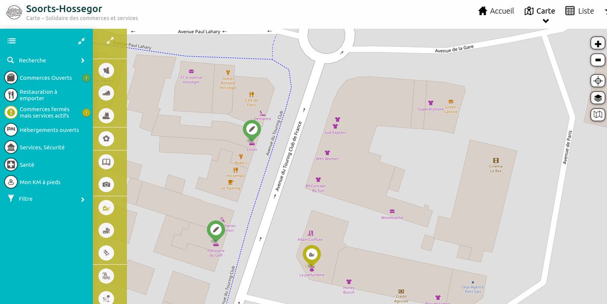
Voici Hossegor qui rejoint le mouvement #OpenStreetMap in @LesLandes40 en publiant avec nous sa carte "Solidaire du commerce #Local". Un effort de contribution (+200 Pois). C'est mutualisé, de facto, dans Ça reste ouvert - C'est fait pour durer (compléter) carte-soorts.hossegor.fr

Voici <a href="/hossegor/">Hossegor</a> qui rejoint le mouvement #OpenStreetMap in @LesLandes40 en publiant avec nous sa carte "Solidaire du commerce #Local". Un effort de contribution (+200 Pois). C'est mutualisé, de facto, dans <a href="/caresteouvert/">Ça reste ouvert</a> - C'est fait pour durer (compléter) carte-soorts.hossegor.fr
Nomad Maps (@mapsnomad) 's Twitter Profile Photo

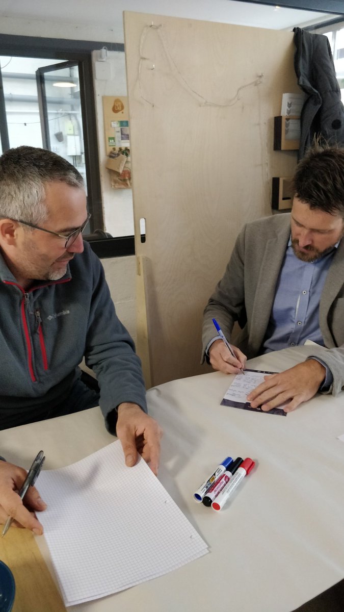
[NOMAD MAPS KM1] Depuis quelques jours est lancé #NomadmapsKm1, l'aventure cartographique Nomadmaps du 1er km! 1h/jour, attestation, masque, gel et smartphone/crayon pour cartographier mon 1er kilomètre légal ;) ! #çaresteouvert Monts du lyonnais #openstreetmap

[NOMAD MAPS KM1]
Depuis quelques jours est lancé #NomadmapsKm1, l'aventure cartographique Nomadmaps du 1er km!
1h/jour, attestation, masque, gel et smartphone/crayon pour cartographier mon 1er kilomètre légal ;) !
 #çaresteouvert <a href="/montsdulyonnais/">Monts du lyonnais</a> #openstreetmap
@teritorio.fr (@teritorio_fr) 's Twitter Profile Photo

#OpenStreetMap une solution coopérative efficace pour tenir à jour la donnée en ces temps de crise. Belle relation #CommunsNumériques de ce travail avec l'Office de #tourisme de Hossegor par Sud Ouest 👉sudouest.fr/2020/11/22/hos…

Jawg Maps (@jawgio) 's Twitter Profile Photo

Petite anecdote carto 😃 Dans les années 1930, un éditeur de cartes routières a placé un hameau fictif, nommé Agloe, à New York. L'idée était de détecter les plagiats car il ne devait appaître que sur leur carte. Lire l'histoire : en.wikipedia.org/wiki/Agloe,_Ne…

Petite anecdote carto 😃 Dans les années 1930, un éditeur de cartes routières a placé un hameau fictif, nommé Agloe, à New York. L'idée était de détecter les plagiats car il ne devait appaître que sur leur carte. Lire l'histoire : en.wikipedia.org/wiki/Agloe,_Ne…
Geovelo (@geovelofr) 's Twitter Profile Photo

[#Article] 🚲🗺 Explications sur les récents travaux de data.gouv.fr et Vélo & Territoires, auxquels nous avons participé, et qui ont permis d'élaborer un standard pour la cartographie des aménagements cyclables ! OpenStreetMap France geovelo.fr/blog/un-schema…

CartONG (@assoccartong) 's Twitter Profile Photo

💻 🗺️ 💻COMING SOON! Join us for the Geonight.official 2021. CartONG is co-hosting 15 online #mapathons with numerous partners on April 8th, 9th & 10th. Discover the full agenda & sign up here: umap.openstreetmap.fr/en/map/geonigh… Please share and feel free to invite friends to take part😃
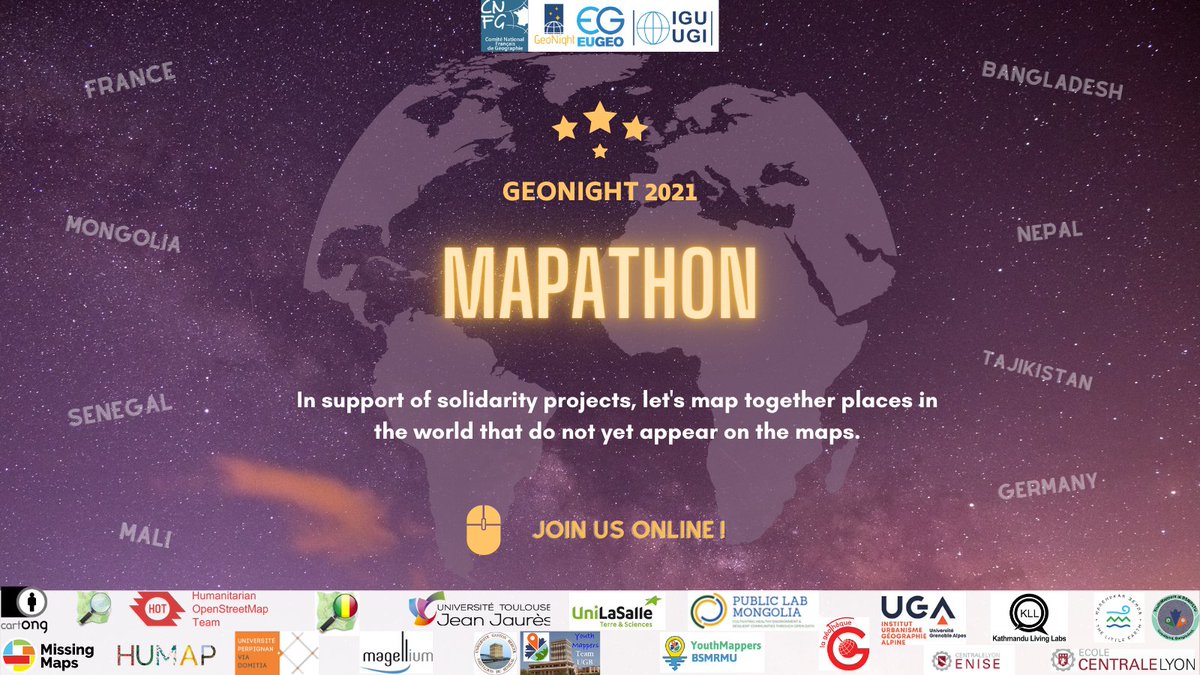
💻 🗺️ 💻COMING SOON! Join us for the <a href="/GeonightO/">Geonight.official</a> 2021. <a href="/assocCartONG/">CartONG</a> is co-hosting 15 online #mapathons with numerous partners on April 8th, 9th &amp; 10th. Discover the full agenda &amp; sign up here: umap.openstreetmap.fr/en/map/geonigh… Please share and feel free to invite friends to take part😃