Scott J. Staniewicz (@sstanie) 's Twitter Profile
Scott J. Staniewicz

@sstanie

ID: 2498343304

calendar_today20-04-2014 23:19:52

49 Tweet

81 Followers

184 Following

Sigurjón (Sjonni) Jónsson (@sjonni_kaust) 's Twitter Profile Photo

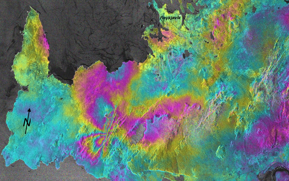
Reykjavík was rocked by a magnitude 5.6 earthquake on Tuesday, located only about 25 km from the city. Sentinel-1 InSAR image of the coseismic deformation shows the expected North-South right-lateral strike-slip rupture (processed by Y. Cao, CDI Group, KAUST).

Reykjavík was rocked by a magnitude 5.6 earthquake on Tuesday, located only about 25 km from the city. Sentinel-1 InSAR image of the coseismic deformation shows the expected North-South right-lateral strike-slip rupture (processed by Y. Cao, CDI Group, KAUST).
Scott J. Staniewicz (@sstanie) 's Twitter Profile Photo

I predict that #AGU2020 is ahead of the trend, and soon Chrome will start using animated spinning error messages as the default

Texas ASE/EM (@utaerospace) 's Twitter Profile Photo

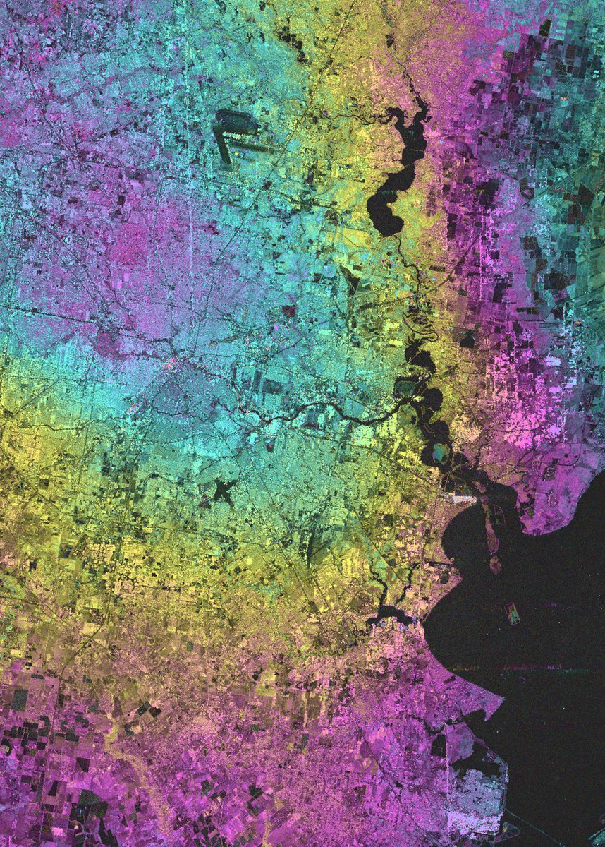
Ann Chen & Clint Dawson are using #MachineLearning & #satellite data to classify types of land. Their findings will be incorporated into storm surge models to provide a clearer picture of what will happen during major weather events: bit.ly/3xkV2Sr #HurricaneSeason

Ann Chen & Clint Dawson are using #MachineLearning & #satellite data to classify types of land. Their findings will be incorporated into storm surge models to provide a clearer picture of what will happen during major weather events: bit.ly/3xkV2Sr #HurricaneSeason
marshall (@marsh) 's Twitter Profile Photo

I’ve been relatively quiet here about stuff we are working on at @upstream_tech. I can no longer keep it to myself - it's too exciting. Where to begin? Ah yes, The Forecast Rodeo🤠(and the mystery of MarathonTester5)

Ferris Jabr (@ferrisjabr) 's Twitter Profile Photo

For the first time ever, a spacecraft has flown into the sun's atmosphere and lived to tell the tale. Exhilarating footage from NASA’s Parker Solar Probe as it sails through streamers of plasma w/ temps of several million degrees F in the sun's corona

Texas ASE/EM (@utaerospace) 's Twitter Profile Photo

Congrats to Dr. Ann Chen who is one of five researchers selected for the Oden Institute 2002 W.A. "Tex" Moncrief Grand Challenge Award! Chen will use the award to monitor and characterize groundwater aquifers from satellite remote sensing measurements: bit.ly/3GGLyqD
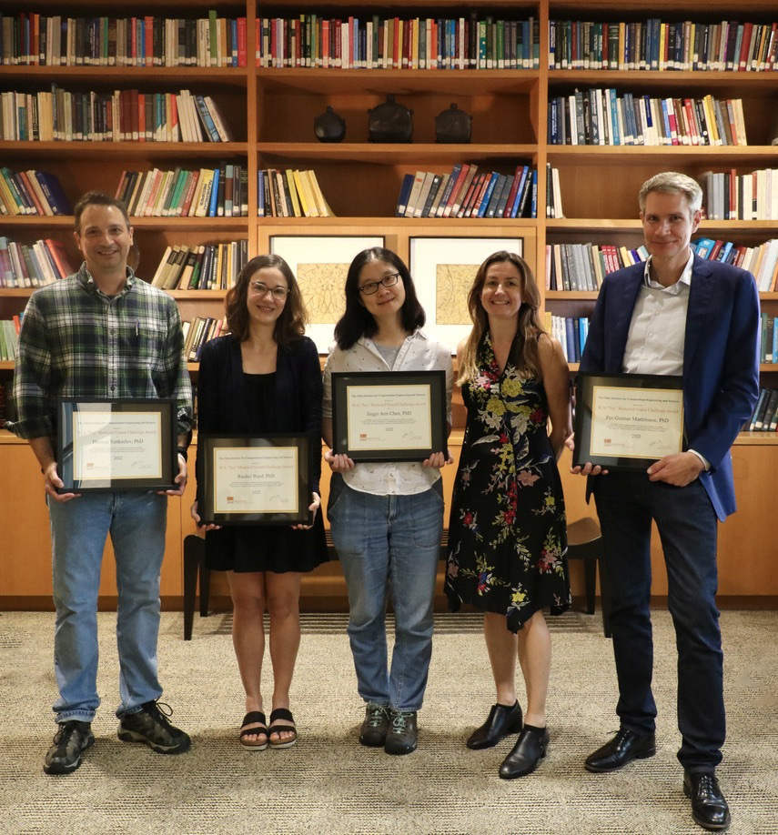
Congrats to Dr. Ann Chen who is one of five researchers selected for the <a href="/OdenInstitute/">Oden Institute</a>  2002 W.A. "Tex" Moncrief Grand Challenge Award! Chen will use the award to monitor and characterize groundwater aquifers from satellite remote sensing measurements: bit.ly/3GGLyqD
Heresh Fattahi (@hereshf) 's Twitter Profile Photo

We are looking for a signal analysis engineer to join our OPERA team NASA JPL . Please see more details here. We welcome applicants with strong programming/software development background and experienced with optimization problems : jpl.jobs/job/R2464/OPER…

Virginia Brancato (@ladyoffringes) 's Twitter Profile Photo

🥁Just wanted to remind folks of this time-limited PostDoc opportunity in my group at JPL (SAR Algorithm development). Want to explore more InSAR processing and be part of cool projects? Apply at citjpl.wd5.myworkdayjobs.com/Jobs/job/JPL-C… Sisters of SAR Women in Copernicus IEEE Geoscience and Remote Sensing Society


Franz J Meyer (@sarevangelist) 's Twitter Profile Photo

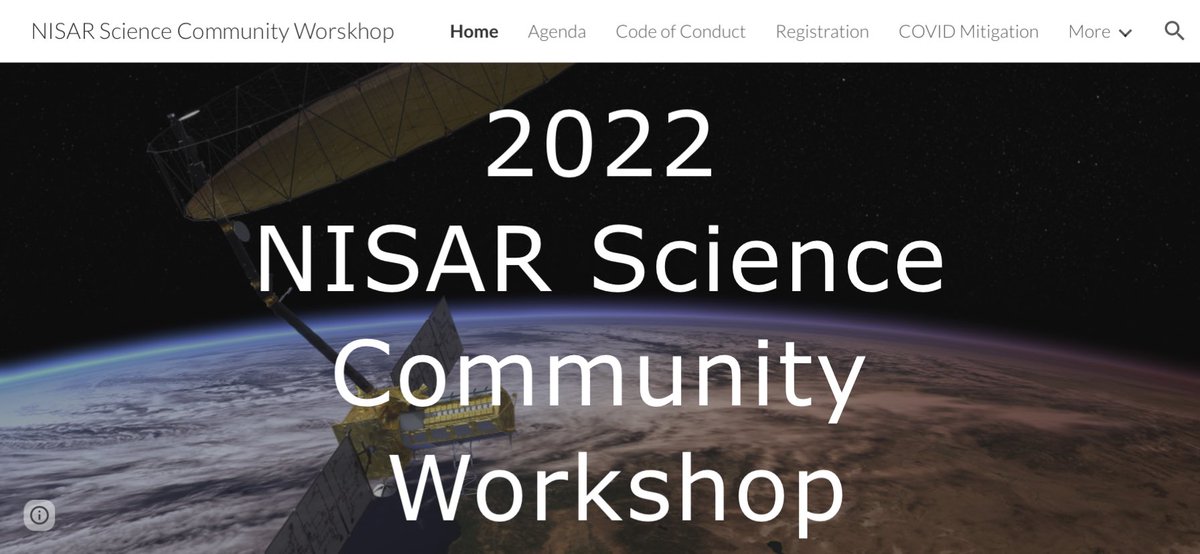
⏰ Excited for SAR Week?⏰ On my way to attend the NISAR Community & OPERA workshops in Pasadena. All the #SAR you can squeeze in a week. Say hi should you seen me there! #GoldenAgeOfSAR NISAR: sites.google.com/view/nisarscie…

⏰ Excited for SAR Week?⏰
On my way to attend the NISAR Community &amp; OPERA workshops in Pasadena. All the #SAR you can squeeze in a week. Say hi should you seen me there! #GoldenAgeOfSAR
NISAR: sites.google.com/view/nisarscie…
NASA Earth (@nasaearth) 's Twitter Profile Photo

A whole new view 🤩 🌊 First taste from the SWOT mission shows Earth’s water in higher definition than ever before. The spatial resolution of SWOT ocean measurements is 10 times greater than sea surface height data gathered over the same area by seven other satellites combined.

A whole new view 🤩 🌊

First taste from the SWOT mission shows Earth’s water in higher definition than ever before. The spatial resolution of SWOT ocean measurements is 10 times greater than sea surface height data gathered over the same area by seven other satellites combined.
NASA JPL (@nasajpl) 's Twitter Profile Photo

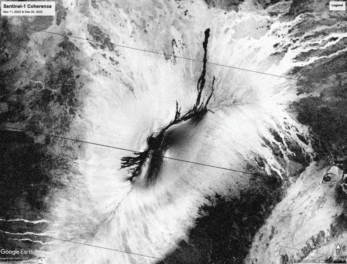
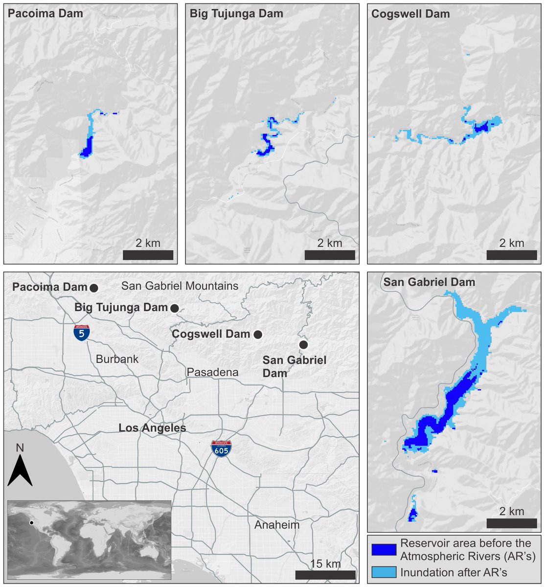
Where are flood waters flowing after major storms? How much did the land move during an earthquake or volcanic eruption? A NASA-sponsored project called OPERA is tracking a changing Earth by merging data from multiple satellite missions. go.nasa.gov/41iA5aj

Where are flood waters flowing after major storms? How much did the land move during an earthquake or volcanic eruption?  

A <a href="/NASA/">NASA</a>-sponsored project called OPERA is tracking a changing Earth by merging data from multiple satellite missions. go.nasa.gov/41iA5aj
Franz J Meyer (@sarevangelist) 's Twitter Profile Photo

⚠#IGARSS Attendees⚠ Attending IEEE Geoscience and Remote Sensing Society #IGARSS & are arriving early? There is still a chance to register for our tutorial on how to work with NASA JPL #OPERA data. ⏰: Sunday at 12:30pm 🏛: Room MC 3.2 Learn about OPERA: jpl.nasa.gov/go/opera #GoldenAgeOfSAR
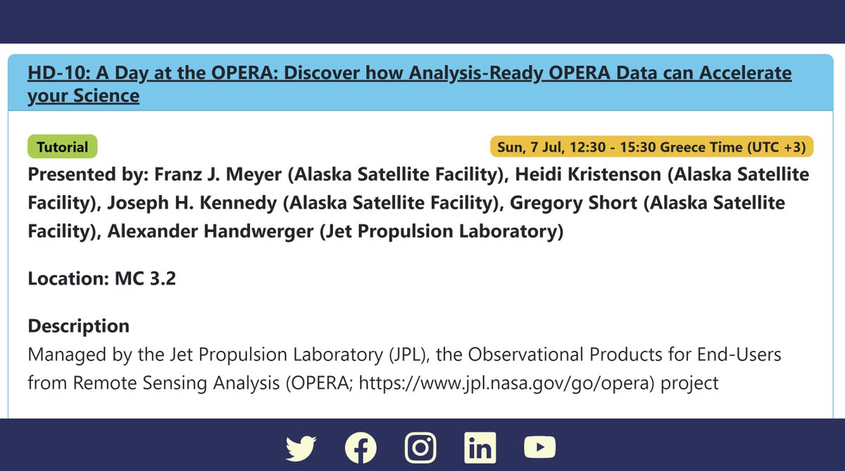
⚠#IGARSS Attendees⚠
Attending <a href="/IEEE_GRSS/">IEEE Geoscience and Remote Sensing Society</a>  #IGARSS &amp; are arriving early? There is still a chance to register for our tutorial on how to work with <a href="/NASAJPL/">NASA JPL</a>  #OPERA data.
⏰: Sunday at 12:30pm
🏛: Room MC 3.2
Learn about OPERA: jpl.nasa.gov/go/opera
#GoldenAgeOfSAR