
Susana Harbert
@susanaaguayo12
Weekend Meteorologist @KRBCnews | Weekday Meteorologist @TelemundoAbi |B.S Meteorology | Minor Oceanography| Texas A&M Former Student | Opinions are mine
ID: 1095519718243553280
https://www.bigcountryhomepage.com/ 13-02-2019 03:07:09
10,10K Tweet
459 Followers
487 Following


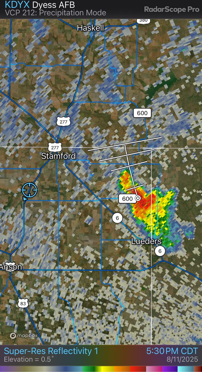
Nice storm developing just N of Lueders 5:30pm #txwx Texas Storm Chasers ⚡ NWSSanAngelo Chad Casey atxwxgirl Austin Burkes ⛈️ Ann Susana Harbert Jen Walton Clint Hendricks IV davis_wx LoneStar Storm Chasers 🌪️ The WX Store🌪️ Rabbit_Is_Good_Rabbit_Is_Wise Will Leverett michael_wx_ DFWStormChasers JR©


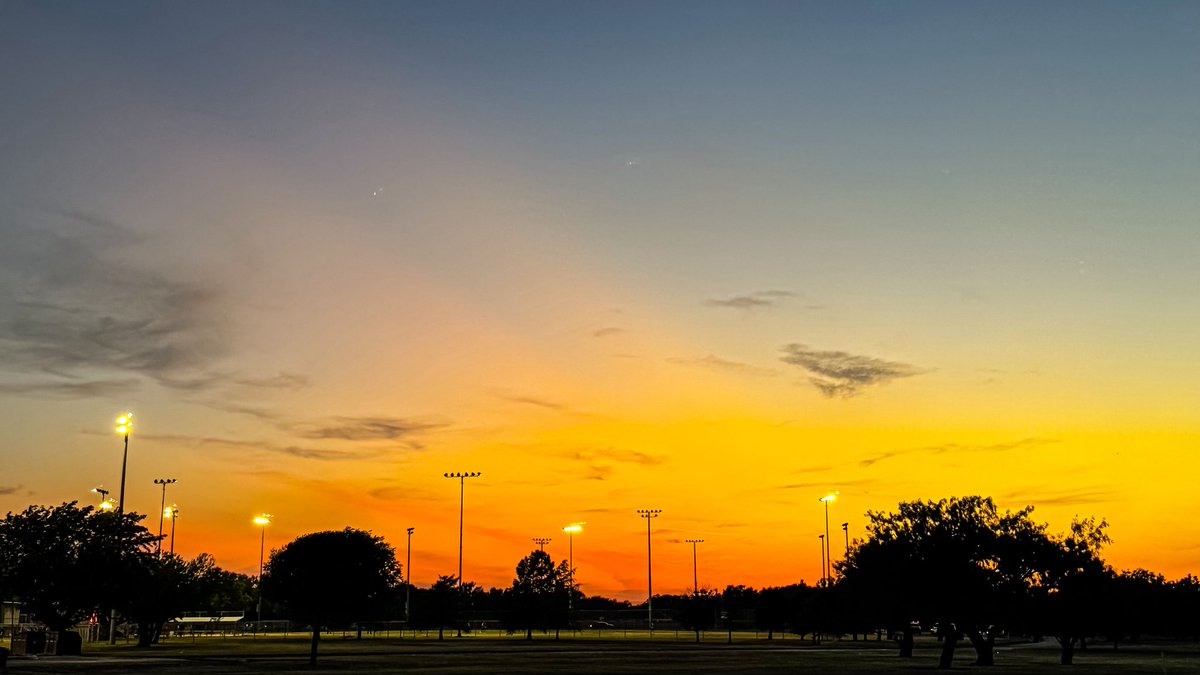
Nightly walk at the park, sunset edition #txwx Texas Storm Chasers ⚡ NWSSanAngelo Chad Casey atxwxgirl Austin Burkes ⛈️ Ann Susana Harbert Jen Walton Clint Hendricks IV davis_wx LoneStar Storm Chasers 🌪️ The WX Store🌪️ Rabbit_Is_Good_Rabbit_Is_Wise Will Leverett michael_wx_ DFWStormChasers JR© John Sirlin

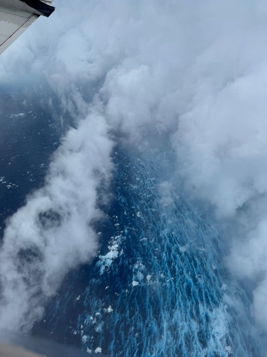
Aug 16: Images from NOAA Aircraft Operations Center and the NOAA Satellites Ocean Winds team show an intense eyewall in Hurricane #Erin This photo shows the ocean surface calm in the eye and roaring in the eyewall. For the latest forecast visit hurricanes.gov


An absolutely beautiful clear sky to see the parade of planets this morning!! Abilene, TX 5:50am #txwx Texas Storm Chasers ⚡ NWSSanAngelo Chad Casey atxwxgirl Austin Burkes ⛈️ Ann Susana Harbert Jen Walton Clint Hendricks IV davis_wx LoneStar Storm Chasers 🌪️ The WX Store🌪️ Rabbit_Is_Good_Rabbit_Is_Wise


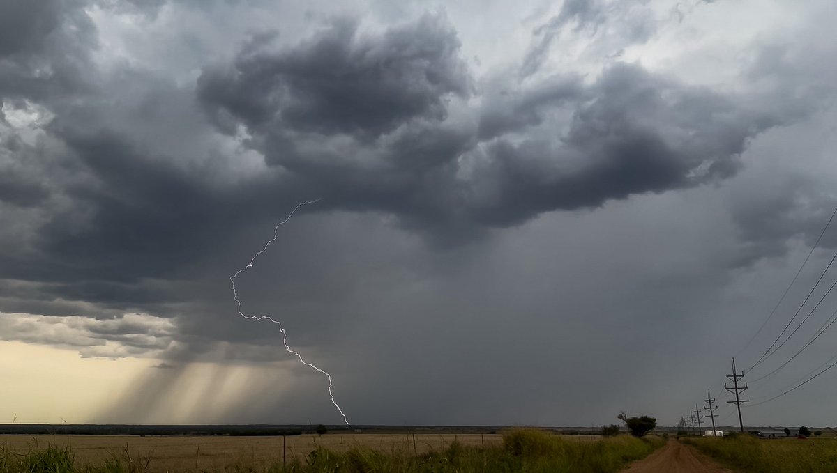
Yay for cold front Friday! Pretty storm dropping some nice bolts just W of Haskell 3:40pm #txwx Texas Storm Chasers ⚡ NWSSanAngelo Chad Casey atxwxgirl Austin Burkes ⛈️ Ann Susana Harbert Jen Walton Clint Hendricks IV davis_wx LoneStar Storm Chasers 🌪️ The WX Store🌪️ Rabbit_Is_Good_Rabbit_Is_Wise Will Leverett


![IEMBot SJT (@iembot_sjt) on Twitter photo SJT issues Flood Advisory for Shackelford [TX] till Aug 12, 10:15 AM CDT mesonet.agron.iastate.edu/vtec/f/2025-O-… SJT issues Flood Advisory for Shackelford [TX] till Aug 12, 10:15 AM CDT mesonet.agron.iastate.edu/vtec/f/2025-O-…](https://pbs.twimg.com/media/GyJo9wjXsAAgbEA.png)


![IEMBot SJT (@iembot_sjt) on Twitter photo A STRONG THUNDERSTORM WILL IMPACT NORTHEASTERN JONES COUNTY THROUGH 200 PM CDT [wind: 50 MPH, hail: 0.25 IN] mesonet.agron.iastate.edu/p.php?pid=2025… A STRONG THUNDERSTORM WILL IMPACT NORTHEASTERN JONES COUNTY THROUGH 200 PM CDT [wind: 50 MPH, hail: 0.25 IN] mesonet.agron.iastate.edu/p.php?pid=2025…](https://pbs.twimg.com/media/Gyp5J9HWQAAyOfh.jpg)


![IEMBot SJT (@iembot_sjt) on Twitter photo Special Weather Statement [wind: 55 MPH, hail: 0.00 IN] for Callahan, Coleman, Jones, Runnels, Shackelford, Taylor [TX] till 5:15 PM CDT mesonet.agron.iastate.edu/p.php?pid=2025… Special Weather Statement [wind: 55 MPH, hail: 0.00 IN] for Callahan, Coleman, Jones, Runnels, Shackelford, Taylor [TX] till 5:15 PM CDT mesonet.agron.iastate.edu/p.php?pid=2025…](https://pbs.twimg.com/media/G0HQVRgWgAAwv_i.jpg)
