Terrascope (@terrascope_be) 's Twitter Profile
Terrascope

@terrascope_be

Terrascope is the Belgian platform to access open-source satellite imagery.
Access and use the data to get the insights you need.
#Copernicus #Sentinel #ProbaV

ID: 915874002073202688

linkhttp://www.terrascope.be calendar_today05-10-2017 09:39:13

817 Tweet

1,1K Followers

154 Following

Copernicus EU (@copernicuseu) 's Twitter Profile Photo

Today it's our 26th birthday! 🎂 On this day, we also mark #WorldOceanDay with the #ImageOfTheDay of the stunning Belize Barrier Reef, a sanctuary teeming with diverse marine life. 🌊🌿 #marineconservation #BelizeBarrierReef

Today it's our 26th birthday! 🎂

On this day, we also mark #WorldOceanDay with the #ImageOfTheDay of the stunning Belize Barrier Reef, a sanctuary teeming with diverse marine life. 🌊🌿

#marineconservation #BelizeBarrierReef
ESA Earth Observation (@esa_eo) 's Twitter Profile Photo

Data, data and more data! Together with ECMWF, EUMETSAT and Digital EU 🇪🇺 we just launched the initial version of the #DestinE system. This is the first step of the European Commission ambitious initiative to create a digital replica of our planet to provide evidence-based support

Data, data and more data!

Together with <a href="/ECMWF/">ECMWF</a>, <a href="/eumetsat/">EUMETSAT</a> and <a href="/DigitalEU/">Digital EU 🇪🇺</a> we just launched the initial version of the #DestinE system. 

This is the first step of the <a href="/EU_Commission/">European Commission</a> ambitious initiative to create a digital replica of our planet to provide evidence-based support
VITO Remote Sensing (@vito_rs_) 's Twitter Profile Photo

⌛️ Getting ready for #EXPANDEO2024 Join András Zlinszky @azlinszky.bsky.social, Uwe Marquard, Monika Kryzanowska & Dennis Clarijs tomorrow 👇 to learn more about the uptake of Copernicus EU data within the Copernicus Data Space Ecosystem! ➡️ expandeo.earsc.org/agenda-2024/#d… T-Systems CloudFerro S.A. Sinergise

Copernicus EU (@copernicuseu) 's Twitter Profile Photo

At Cape Horn, the southernmost tip of the Tierra del Fuego Archipelago in Chile, the importance and the power of the ocean is evident. The weather is typically stormy and overcast ☁️ throughout the year, so this kind of image is a rare occurrence. #ImageOfTheDay 📷 by #Sentinel3

At Cape Horn, the southernmost tip of the Tierra del Fuego Archipelago in Chile, the importance and the power of the ocean is evident. The weather is typically stormy and overcast ☁️  throughout the year, so this kind of image is a rare occurrence.
#ImageOfTheDay 📷 by #Sentinel3
VITO Remote Sensing (@vito_rs_) 's Twitter Profile Photo

🛑 Stop downloading data for analysis! Join the #CopernicusEU webinar next week 👇 and learn how to create FAIR-compliant open solutions by using #openEO! Pratichhya Sharma & @jeroen_dries will demonstrate how openEO #API enables easy processing within #CDSE copernicus.eu/en/events/even…
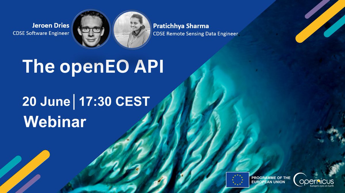
🛑 Stop downloading data for analysis!

Join the #CopernicusEU webinar next week 👇 and learn how to create FAIR-compliant open solutions by using #openEO!

<a href="/Pratichhya5/">Pratichhya Sharma</a> &amp; @jeroen_dries will demonstrate how openEO #API enables easy processing within #CDSE

copernicus.eu/en/events/even…
Terrascope (@terrascope_be) 's Twitter Profile Photo

🤔 How to produce cloudless time series with #satellite data? Join our webinar next week! Stefan Livens & @J_decloedt will explain more about #CropSAR, a service to provide valuable insights into the crop dynamics over time! 📅 18 June ⌚ 16:00 CEST 🔗 vito.zoom.us/webinar/regist…

🤔 How to produce cloudless time series with #satellite data?

Join our webinar next week! <a href="/StefanLivens/">Stefan Livens</a> &amp; @J_decloedt will explain more about #CropSAR, a service to provide valuable insights into the crop dynamics over time!

📅 18 June 
⌚ 16:00 CEST
🔗 vito.zoom.us/webinar/regist…
VITO Remote Sensing (@vito_rs_) 's Twitter Profile Photo

#Germany ready to host #euro2024 The #Copernicus Data Space Ecosystem shares🔟#Sentinel2 views over the host cities 🛰️🇩🇪 Spot the stadiums & cities in different #satellite image layers, available in the #CopernicusEU Browser for various purposes 🇪🇺 ➡️bit.ly/CDSE_EURO2024

#Germany ready to host #euro2024 

The #Copernicus Data Space Ecosystem shares🔟#Sentinel2 views over the host cities 🛰️🇩🇪

Spot the stadiums &amp; cities in different #satellite image layers, available in the #CopernicusEU Browser for various purposes 🇪🇺

➡️bit.ly/CDSE_EURO2024
VITO Remote Sensing (@vito_rs_) 's Twitter Profile Photo

#DesertificationAndDroughtDay Satellite images show us the severity of desertification, land degradation and drought! Discover the Copernicus EU #Sentinel2 images 👇 & Justdiggit that works to regreen landscapes in Africa dataspace.copernicus.eu/gallery/2024-2… UN Land and Drought ESA Earth Observation 🇪🇺 EU Defence and Space

Copernicus Land Monitoring Service (@copernicusland) 's Twitter Profile Photo

#DesertificationAndDroughtDay #Desertification results from land degradation driven by factors like wildfires, poor management, & urban expansion. #CLMS helps identify these issues aiding in responsible land management. 👉land.copernicus.eu/en/products/gl…

Terrascope (@terrascope_be) 's Twitter Profile Photo

🚨 Last call to register for our #webinar tomorrow! Stefan Livens and @J_decloedt will explain how to produce cloudless time series with #satellite data and #CropSAR for more accurate crop monitoring. 🗓️ 18 June ⌚ 16:00 CEST 🔗 vito.zoom.us/webinar/regist…

🚨 Last call to register for our #webinar tomorrow!

<a href="/StefanLivens/">Stefan Livens</a> and @J_decloedt will explain how to produce cloudless time series with #satellite data and #CropSAR for more accurate crop monitoring.

🗓️ 18 June 
⌚ 16:00 CEST 
🔗 vito.zoom.us/webinar/regist…
Terrascope (@terrascope_be) 's Twitter Profile Photo

🖤💛❤️ Ready to support the 🇧🇪 #RedDevils with a nice #Copernicus #Sentinel2 satellite view on #Belgium! We're looking forward to their first game tonight in Frankfurt! Who's watching? #belgianreddevils #EURo2024 #wirschaffendas #Terrascope #CDSE

🖤💛❤️

Ready to support the 🇧🇪 #RedDevils with a nice #Copernicus #Sentinel2 satellite view on #Belgium! 

We're looking forward to their first game tonight in Frankfurt!

Who's watching?

#belgianreddevils #EURo2024 #wirschaffendas #Terrascope #CDSE
Terrascope (@terrascope_be) 's Twitter Profile Photo

🆕 The #Jupyter Notebooks environment, offered to quickly access and process data, has been updated. Check the changes and updates made to enhance the usability. 👇 🔗 terrascope.be/en/news-events… VITO Remote Sensing Belgian Earth Observation ESA Earth Observation ESA België Belgique Open-EO openEO Platform Copernicus EU

Terrascope (@terrascope_be) 's Twitter Profile Photo

Discover #FLOWS, FLOod crisis management With Earth observation Solutions VITO Remote Sensing ISSeP Wallonie UGent DLR - English Nationaal Geo Instituut | Institut Géo National & UNamur aim to create valuable EO-based flood products, tailored to the needs of flood crisis managers! ➡️ blog.vito.be/remotesensing/… Copernicus EU ESA Earth Observation

Terrascope (@terrascope_be) 's Twitter Profile Photo

Follow 👇 if you want to stay informed about the use of #EOdata and services! In one of the latest posts, Dennis Clarijs talks about the future of the #EO landscape and how #Copernicus #DataSpace connects with downstream platforms such as #Terrascope! ➡ blog.vito.be/remotesensing/…

Terrascope (@terrascope_be) 's Twitter Profile Photo

#Throwback to the #Terrascope Advisory Board! Always an inspiring day! Interesting to gather new ideas and discuss how we can improve our 🇧🇪 platform to provide easy access to #EOdata and #imageprocessing services for many businesses. 🛰️🗺️ Discover more➡️terrascope.be/en/cases

#Throwback to the #Terrascope Advisory Board!

Always an inspiring day! Interesting to gather new ideas and discuss how we can improve our 🇧🇪 platform to provide easy access to #EOdata and #imageprocessing services for many businesses. 🛰️🗺️

Discover more➡️terrascope.be/en/cases
VITO Remote Sensing (@vito_rs_) 's Twitter Profile Photo

⏳ Getting ready for #IGARSS2024, taking place in #Athens 🇬🇷 next week! Join the #CDSE team Tue 9 July 👇 to learn more about the #Copernicus Data Space Ecosystem, the platform that enables federated Earth observation services and applications! 🛰️🗺️🤲 ➡ 2024.ieeeigarss.org/view_paper.php…

⏳ Getting ready for #IGARSS2024, taking place in #Athens 🇬🇷 next week!

Join the #CDSE team Tue 9 July 👇 to learn more about the #Copernicus Data Space Ecosystem, the platform that enables federated Earth observation services and applications! 🛰️🗺️🤲

➡ 2024.ieeeigarss.org/view_paper.php…
VITO Remote Sensing (@vito_rs_) 's Twitter Profile Photo

🧑‍🤝‍🧑 #WorldPopulationDay2024 🧑‍🤝‍🧑 #Greenland 🇬🇱, the world’s least densely populated area! Discover more about the city of #Nuuk and this beautiful #Copernicus #Sentinel2 satellite image in the #CDSE image gallery! 🛰️ ➡️ dataspace.copernicus.eu/gallery/2024-6… ESA Earth Observation Copernicus EU 🇪🇺 EU Defence and Space

🧑‍🤝‍🧑 #WorldPopulationDay2024 🧑‍🤝‍🧑

#Greenland 🇬🇱, the world’s least densely populated area! 

Discover more about the city of #Nuuk and this beautiful #Copernicus #Sentinel2 satellite image in the #CDSE image gallery! 🛰️

➡️ dataspace.copernicus.eu/gallery/2024-6…
<a href="/ESA_EO/">ESA Earth Observation</a> <a href="/CopernicusEU/">Copernicus EU</a> <a href="/defis_eu/">🇪🇺 EU Defence and Space</a>
Terrascope (@terrascope_be) 's Twitter Profile Photo

🚨 Important news about the #Terrascope Virtual Machines! We're migrating #VirtualMachines and shutting down old VMs as from 30 Nov 2024. ☑️ check access to your VM ☑️ ensure your back up ☑️ check what's changed More details and info what you need to do: terrascope.be/en/news-events…

🚨 Important news about the #Terrascope Virtual Machines! We're migrating #VirtualMachines and shutting down old VMs as from 30 Nov 2024.

☑️ check access to your VM
☑️ ensure your back up
☑️ check what's changed

More details and info what you need to do:
terrascope.be/en/news-events…
Terrascope (@terrascope_be) 's Twitter Profile Photo

Are you looking for data and tools to monitor #AirQuality and develop mitigation strategies? Join our #webinar next week to see which air quality maps are available incl. a new surface NO₂ product, derived by #machinelearning! 📅5 Dec '24 ⏲️ 4 PM CET ✍ vito.zoom.us/webinar/regist…

Are you looking for data and tools to monitor #AirQuality and develop mitigation strategies?

Join our #webinar next week to see which air quality maps are available incl. a new surface NO₂ product, derived by #machinelearning!

📅5 Dec '24
⏲️ 4 PM CET
✍ vito.zoom.us/webinar/regist…
VITO Remote Sensing (@vito_rs_) 's Twitter Profile Photo

⏳ Only 24 hours left to submit your abstract for #ESA's #LPS25! This is the final call to contribute to the #CDSE session. Don’t miss the chance to showcase your ongoing studies, developed applications or best practices! Submission DL 3 December 8 AM ➡️ dataspace.copernicus.eu/gallery/2024-8…

⏳ Only 24 hours left to submit your abstract for #ESA's #LPS25! This is the final call to contribute to the #CDSE session.

Don’t miss the chance to showcase your ongoing studies, developed applications or best practices!

Submission DL 3 December 8 AM ➡️ dataspace.copernicus.eu/gallery/2024-8…