Western Geographic Science Center (@usgs_wgsc) 's Twitter Profile
Western Geographic Science Center

@usgs_wgsc

USGS research focused on land change, natural hazards, and ecology using GIS and remote sensing. Tweets do not = endorsement.

ID: 3185414226

linkhttps://www.usgs.gov/wgsc calendar_today04-05-2015 17:30:03

658 Tweet

904 Followers

296 Following

Western Geographic Science Center (@usgs_wgsc) 's Twitter Profile Photo

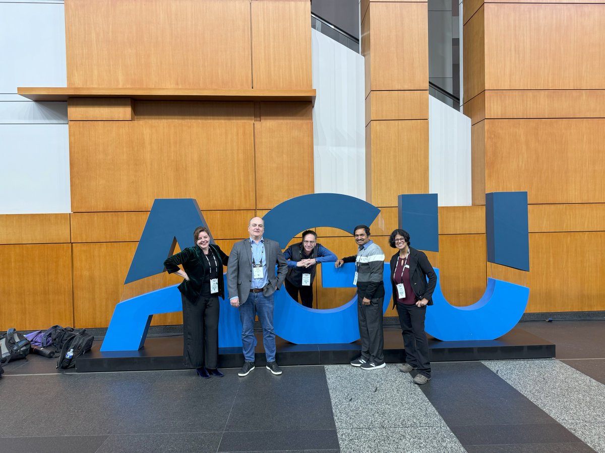
Dr. Itiya Aneece is co-convening 3 sessions at #AGU2024 with Dept. of Agriculture & TaylorGeospatial on Dec 10th. Don't miss her poster on crop type mapping & Dr. Teluguntla's talk on Landsat-derived global rainfed/irrigated areas. 🌱💧 Full session details at agu.org AGU (American Geophysical Union)

Dr. Itiya Aneece is co-convening 3 sessions at #AGU2024 with <a href="/USDA/">Dept. of Agriculture</a> &amp; <a href="/TaylorGeoSTL/">TaylorGeospatial</a> on Dec 10th. Don't miss her poster on crop type mapping &amp; Dr. Teluguntla's talk on Landsat-derived global rainfed/irrigated areas. 🌱💧 Full session details at agu.org <a href="/theAGU/">AGU (American Geophysical Union)</a>
Western Geographic Science Center (@usgs_wgsc) 's Twitter Profile Photo

This week AGU (American Geophysical Union), USGS researcher Nathan Wood to discuss tsunami risk advancements & US preparedness at AGU press conference following talk on national assessment. #AGU2024 #tsunamirisk #USGS

This week <a href="/theAGU/">AGU (American Geophysical Union)</a>, USGS researcher Nathan Wood to discuss tsunami risk advancements &amp; US preparedness at AGU press conference following talk on national assessment. #AGU2024 #tsunamirisk #USGS
USGS National Uncrewed Systems Office (NUSO) (@usgs_uas) 's Twitter Profile Photo

New #UAS publication & data release coauthored by Miguel Villarreal of the USGS Western Geographic Science Center (Western Geographic Science Center)! Exploring soil cover heterogeneity associated with biocrusts predicts patch-level plant diversity patterns: link.springer.com/article/10.100…
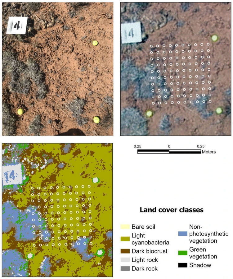
New #UAS publication &amp; data release coauthored by Miguel Villarreal of the USGS Western Geographic Science Center (<a href="/USGS_WGSC/">Western Geographic Science Center</a>)! Exploring soil cover heterogeneity associated with biocrusts predicts patch-level plant diversity patterns: 

link.springer.com/article/10.100…
Western Geographic Science Center (@usgs_wgsc) 's Twitter Profile Photo

ICYMI! The USGS Western Geographic Research Center & the USGS Chief Scientist were at the AGU Fall Meeting last week. This annual event brings together top minds in Earth and space science. #AGU24 #USGS #Science

ICYMI! The USGS Western Geographic Research Center &amp; the USGS Chief Scientist were at the AGU Fall Meeting last week. This annual event brings together top minds in Earth and space science. #AGU24 #USGS #Science
Western Geographic Science Center (@usgs_wgsc) 's Twitter Profile Photo

#Landsat data drives our science in #Hazards, #Ecology, #WaterAvailability, #Ecohydrology, #FoodSecurity, and more! Thank you, Landsat! (and super cute video ☺️)

Western Geographic Science Center (@usgs_wgsc) 's Twitter Profile Photo

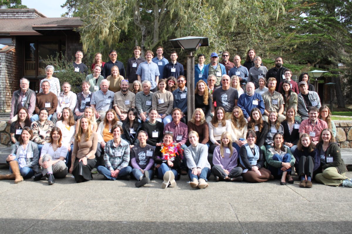
Do you prefer mega-conferences held at convention centers, or smaller workshops nestled in the woods? #USGS will be sponsoring and giving multiple presentations at the upcoming Pacific Climate Workshop - PACLIM in February 2025 @visitasilomar Registration is still open at paclimworkshop.org

Do you prefer mega-conferences held at convention centers, or smaller workshops nestled in the woods? #USGS will be sponsoring and giving multiple presentations at the upcoming <a href="/Paclim_Workshop/">Pacific Climate Workshop - PACLIM</a> in February 2025 @visitasilomar Registration is still open at paclimworkshop.org
Western Geographic Science Center (@usgs_wgsc) 's Twitter Profile Photo

Interested in talking earth science, sharing your research, or networking? #USGS will be at Pacific Climate Workshop - PACLIM next month in Asilomar. Calling any master’s students Cal State Monterey Bay and CAFES still on X. Are there any of you left?

Interested in talking earth science, sharing your research, or networking? #USGS will be at <a href="/Paclim_Workshop/">Pacific Climate Workshop - PACLIM</a> next month in Asilomar. Calling any master’s students <a href="/CSUMB/">Cal State Monterey Bay</a> and <a href="/CalPoly_CAFES/">CAFES</a> still on X. Are there any of you left?
Western Geographic Science Center (@usgs_wgsc) 's Twitter Profile Photo

Fieldwork Friday in Altar Valley looking at pastures being treated for #mesquiteencroachment and gullies being treated for #erosion using natural infrastructure in #dryland streams #NIDS @USGS_AzWSC @USGS_SBSC #aridlands 💧🍃🌞

Fieldwork Friday in Altar Valley looking at pastures being treated for #mesquiteencroachment and gullies being treated for #erosion using natural infrastructure in #dryland streams #NIDS @USGS_AzWSC @USGS_SBSC #aridlands
💧🍃🌞
Western Geographic Science Center (@usgs_wgsc) 's Twitter Profile Photo

x.com/USGS_UAS/statu… New publication 🎉 A review of how unoccupied aerial systems (UAS) have been applied in ecological research, including modeling #WildlifeHabitat, detecting #Landscape change, and scaling #EcosystemFunction. Available here: doi.org/10.1007/s10980…

Western Geographic Science Center (@usgs_wgsc) 's Twitter Profile Photo

Roses are red🌹 Violets are blue🪻 Aridlands are important🏜️ And deserve love too!💓 We ♥️ working with our cooperators. Here we’re developing monitoring protocols to track #vegetation response to #NIDS in the Los Planes watershed, Baja California Sur 🇺🇸🤝🇲🇽 #FieldWorkFriday

Roses are red🌹
Violets are blue🪻
Aridlands are important🏜️
And deserve love too!💓

We ♥️ working with our cooperators. Here we’re developing monitoring protocols to track #vegetation response to #NIDS in the Los Planes watershed, Baja California Sur
🇺🇸🤝🇲🇽
#FieldWorkFriday
Western Geographic Science Center (@usgs_wgsc) 's Twitter Profile Photo

Dr. Anne Wein & Chris Soulard presented at #Paclim2025 in Pacific Grove! Dr. Wein gave an invited lecture on ARkStorm 2.0, & Chris shared a Remote Sensing Meadow Scorecard, a tool for meadow health monitoring. Proud to see USGS Land Change Science Program's work!

Dr. Anne Wein &amp; Chris Soulard presented at #Paclim2025 in Pacific Grove! Dr. Wein gave an invited lecture on ARkStorm 2.0, &amp; Chris shared a Remote Sensing Meadow Scorecard, a tool for meadow health monitoring. Proud to see USGS Land Change Science Program's work!
Western Geographic Science Center (@usgs_wgsc) 's Twitter Profile Photo

#USGS science in real time! Invasive and dry #tamarisk is fueling a #NewNormal in riparian #wildfire in the Southwest, such as the #BullFire along the Gila River 🌳🔥Check out our latest pub on these dynamics: doi.org/10.3389/fenvs.… (Photo by #SanCarlosApache)

#USGS science in real time! Invasive and dry #tamarisk is fueling a #NewNormal in riparian #wildfire in the Southwest, such as the #BullFire along the Gila River 🌳🔥Check out our latest pub on these dynamics: doi.org/10.3389/fenvs.… (Photo by #SanCarlosApache)
Western Geographic Science Center (@usgs_wgsc) 's Twitter Profile Photo

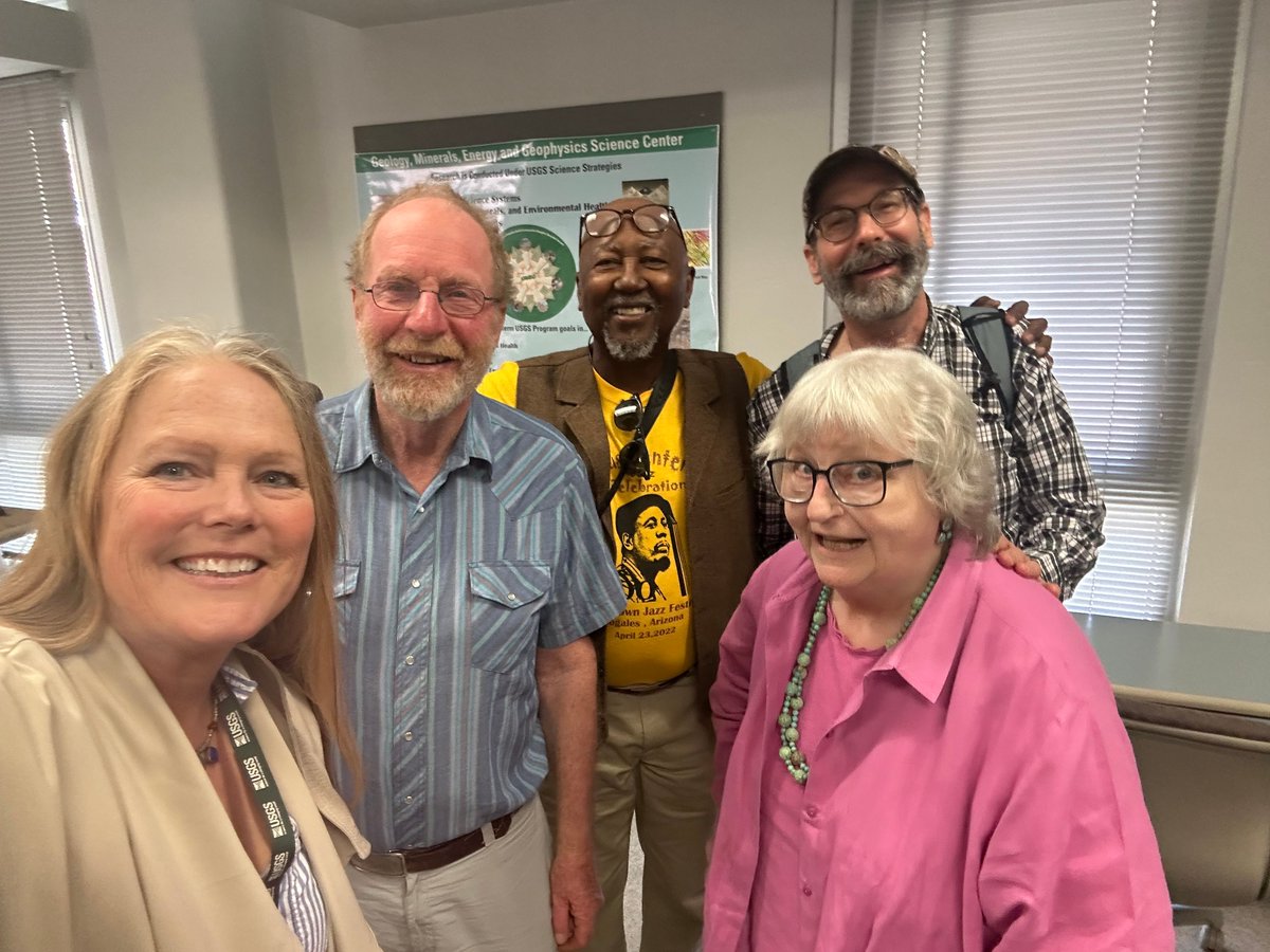
WGSC hosted a seminar this week with Dr. Chris Eastoe on #aquifer recharge by hurricanes in #Baja California Sur. 🌧️ Interesting science makes for interesting guests as James Callegary, Laura Norman, Floyd Gray and Kristine Uhlman joined! 🤓 #OldFriends #BringingPeopleTogether

WGSC hosted a seminar this week with Dr. Chris Eastoe on #aquifer recharge by hurricanes in #Baja California Sur. 🌧️
Interesting science makes for interesting guests as James Callegary, Laura Norman, Floyd Gray and Kristine Uhlman joined! 🤓
#OldFriends #BringingPeopleTogether
Western Geographic Science Center (@usgs_wgsc) 's Twitter Profile Photo

WGSC, Tucson Field Office says goodbye to Barry Middleton and Sam Chambers this week. Sam will be joining Arizona State University as an assistant research scientist and Barry will begin the grand adventure of retirement! #HappyTrailsToYou 🐎☀️🌵
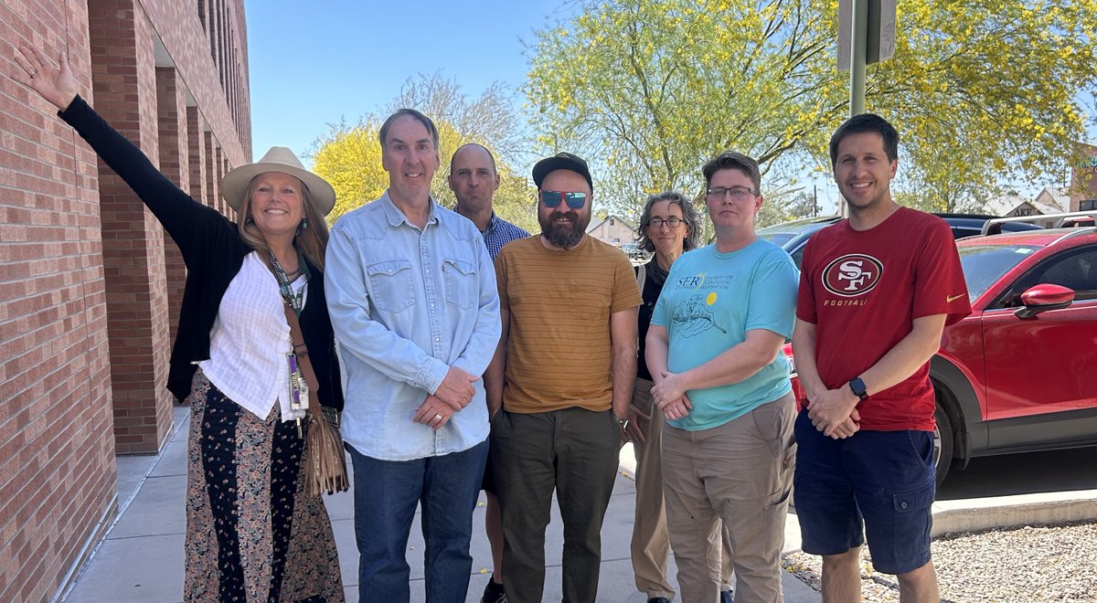

WGSC, Tucson Field Office says goodbye to Barry Middleton and Sam Chambers this week.
Sam will be joining <a href="/ASU/">Arizona State University</a> as an assistant research scientist and Barry will begin the grand adventure of retirement!
#HappyTrailsToYou 🐎☀️🌵
USGS (@usgs) 's Twitter Profile Photo

🌲🔥 New insights into wildfire behavior across #Alaska! New USGS paper reveals fire dynamics to help to inform Alaska management strategies. Understanding these patterns is crucial for protecting ecosystems and communities. 👉ow.ly/Iltk50W17cn #WildfireAwarenessMonth

🌲🔥 New insights into wildfire behavior across #Alaska! 

New USGS paper reveals fire dynamics to help to inform Alaska management strategies. Understanding these patterns is crucial for protecting ecosystems and communities. 

👉ow.ly/Iltk50W17cn

#WildfireAwarenessMonth
Western Geographic Science Center (@usgs_wgsc) 's Twitter Profile Photo

📽️Here's a short bio-film about biofilms: mats of algae and bacteria that form on estuary mud, which are an important food source for migratory shorebirds. New USGS research maps biofilm density, types, and traits in SF Bay: usgs.gov/centers/wester…

Desert Research Institute (@driscience) 's Twitter Profile Photo

New research, with DRI’s Christine Albano, used #satellite imagery to identify where winter flooding occurs in California's Central Valley, This can improve #flood risk awareness & inform how to best redirect floodwaters to replenish groundwater supplies. bit.ly/winterflooding

Western Geographic Science Center (@usgs_wgsc) 's Twitter Profile Photo

#USGS WGSC is proud of our recent collaboration with Desert Research Institute to identify the causes of winter #flooding in #California. Please find their press release here with a link to the open access article ow.ly/YR7s50W9j70 ow.ly/LKrw50W9j6Z