WaterAccounting
@wateraccounting
#WaterAccounting team @ihedelft applying WA+ (systematic framework for assessing current status & trends in water availability/consumption) using #remotesensing
ID: 1464881783867166724
https://wateraccounting.un-ihe.org/ 28-11-2021 09:00:30
280 Tweet
500 Followers
232 Following

[email protected] is available 🎉 ▶️ github : riatelab.github.io/geoviz/ ▶️ live examples : observablehq.com/@neocartocnrs/… ▶️ documentation : riatelab.github.io/geoviz/

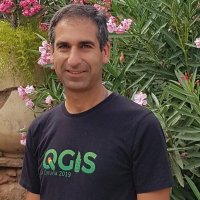
Tonight, we had a great #mapathon for the #sids countries, organised by IHE Delft 💧 Institute for Water Education, UNESCO 🏛️ #Education #Sciences #Culture 🇺🇳 & Antea Group! Thanks to all participants in Delft, Ghent, Antwerp, Paris & online! Rode Kruis Humanitarian OpenStreetMap Team Missing Maps #sidsmapathon #openstreetmap


I'll be joining with the WAPlugin & Razan Elnour, supported by the #QGISHydro Book Fund. Check the program for our workshops & presentations and get your Early Bird tickets asap! IHE Delft 💧 Institute for Water Education Locate Press WAPlugin FAO Land, Soil and Water WaterAccounting 👇🏽


Participant's testimonial: "This course provides state-of-the-art methods for agricultural water management using remote sensing". Do you also want to learn #pyWaPOR? Join us in March 2025: edu.nl/kfkbn More info: edu.nl/3yryt IHE Delft 💧 Institute for Water Education FAO Land, Soil and Water
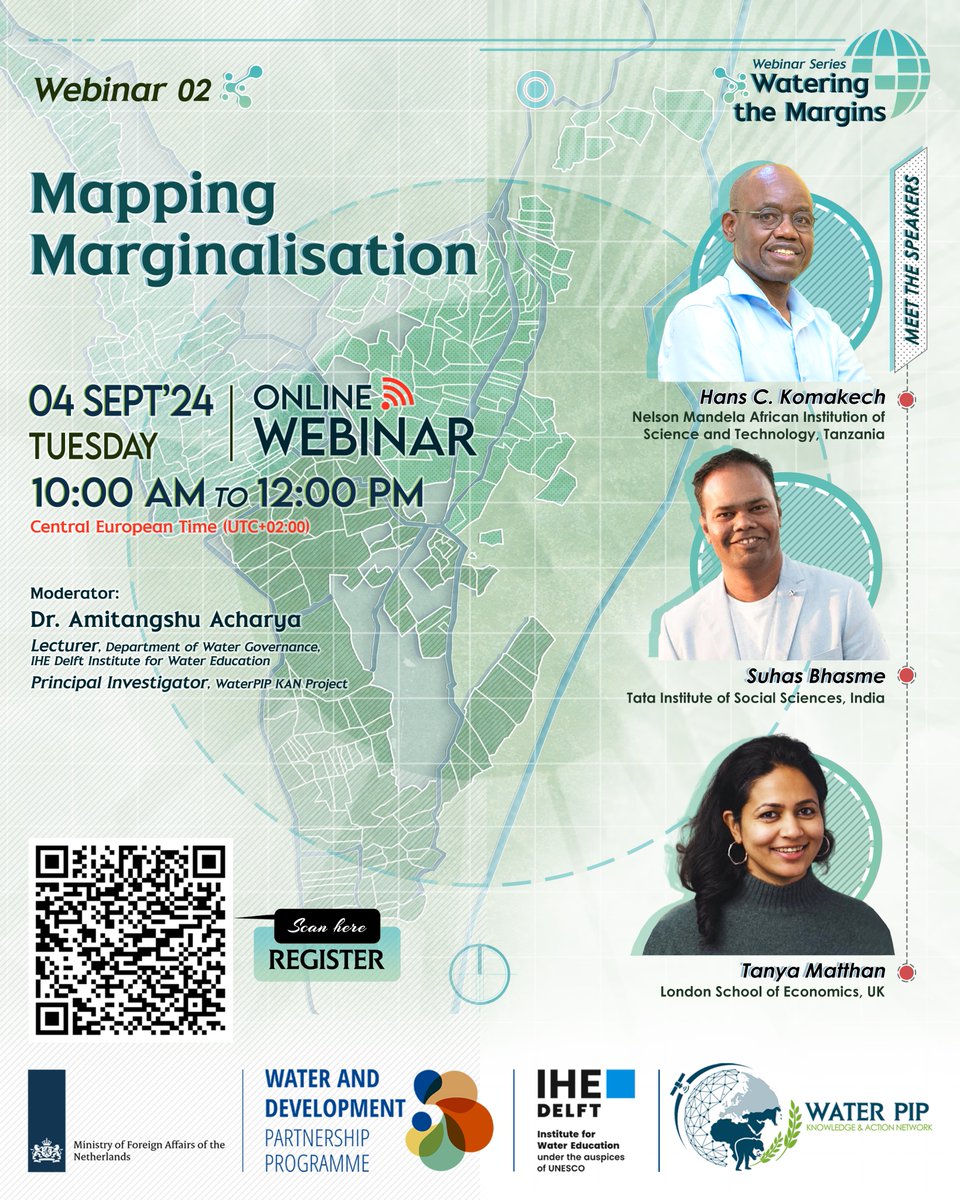
Register now for our second #webinar : #Mapping Marginalisation of our Webinar Series: Watering the Margins 📢4 September 10:00 - 12:00 CEST Registration here: lnkd.in/en_XmAPj New! Follow us now on linkedin: linkedin.com/company/waterp… IHE Delft 💧 Institute for Water Education Water and Development Partnership Programme


Join WaterPIP Knowledge and Action Network for its upcoming webinar on mapping marginalisation in smallholder #irrigation, as part of the webinar series #WateringtheMargins. Register here➡️tinyurl.com/yc6e7nf7


Productores del Magdalena y tomadores de decisiones se preparan para enfrentar desafíos en cambio climático capacitándose en el uso de #WaPOR y así hacer un uso eficiente del agua. IHE Delft 💧 Institute for Water Education, FAO Land, Soil and Water, IWMI, @Minagricultura. Conoce más en acortar.link/UP5swf

If you're at the QGIS User Conference 2024 in Bratislava, join our team for a hands-on workshop on Waplugin! It starts in 15min, B310 You can also follow the workshop online on GISOpenCourseWare @[email protected] : courses.gisopencourseware.org/course/view.ph… Happy learning #qgisuc2024

Last week, I was teaching participants of the course Remote Sensing for Agricultural Water Management at IHE Delft 💧 Institute for Water Education how to use NetCDF files in #QGIS. I've now bundled my course materials on mesh data in QGIS and made it freely available at GISOpenCourseWare @[email protected]: courses.gisopencourseware.org/course/view.ph…

Which is the best precipitation product to use in Africa? The map below provides indications on that, and an integrated product would be the best choice. Presented today ESA Earth Observation #EO4Africa conference Live here: eo-4-africa-symposium-2024.esa.int/watch-live/


Our next training on #pyWaPOR will take place in March 2025. Register now! Pre-requisite: #MOOC on #python for geospatial analyses using WaPOR data: ocw.un-ihe.org/course/view.ph… Food and Agriculture Organization IHE Delft 💧 Institute for Water Education #WaPOR #remotesensing #waterproductivity #irrigationperformanceassessment


