WeatherManSeek (@weathermanseek) 's Twitter Profile
WeatherManSeek

@weathermanseek

Florida storm chaser , Photographer , I survey tornados *not working with the NWS yet* , 19 Cyclones , 2 Tor's , 16 surveyed Tor's and 2 blizzards.

ID: 1877710662337724416

calendar_today10-01-2025 13:34:53

1,1K Tweet

169 Followers

1,1K Following

NWS Melbourne (@nwsmelbourne) 's Twitter Profile Photo

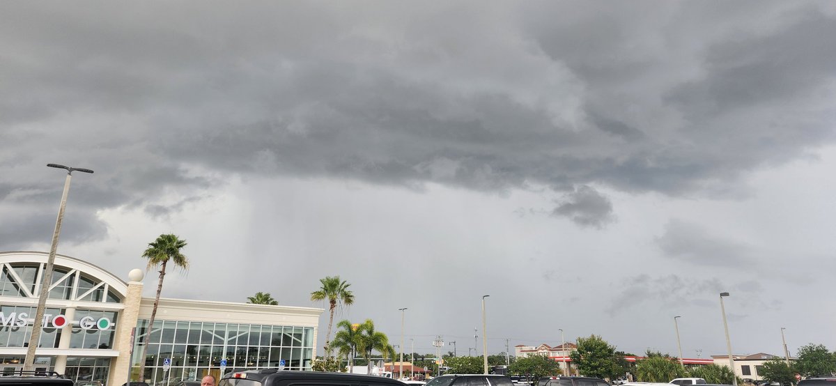
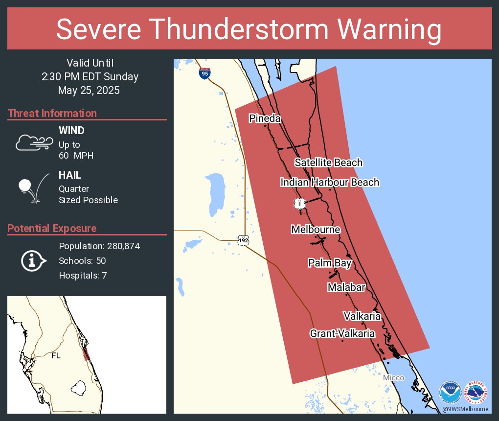
On this evening (May 24th), scattered strong to severe storms are in progress across portions of East Central Florida. Hail and damaging winds are the primary threats, along with vivid deadly lightning.

On this evening (May 24th), scattered strong to severe storms are in progress across portions of East Central Florida. Hail and damaging winds are the primary threats, along with vivid deadly lightning.
NWS Melbourne (@nwsmelbourne) 's Twitter Profile Photo

3:55 PM | Storms today have the potential to produce damaging hail from quarter to golf ball size - like what has just occurred in N Indian River County. #FLwx

Mike's Weather Page (@tropicalupdate) 's Twitter Profile Photo

Could be Atlantic's chance to get something going first week of June. EURO/GFS hinting low pressure area in the Western Caribbean and/or the same general area in the Pacific. MJO phase approaching the same time. Likely Tropical Wave juicing that area regardless.

Could be Atlantic's chance to get something going first week of June. EURO/GFS hinting low pressure area in the Western Caribbean and/or the same general area in the Pacific. MJO phase approaching the same time. Likely Tropical Wave juicing that area regardless.
NWS Melbourne (@nwsmelbourne) 's Twitter Profile Photo

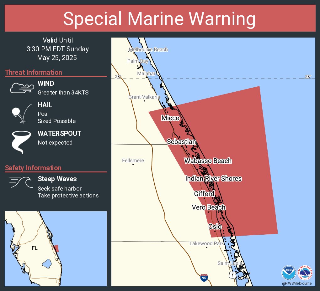
Special Marine Warning including the Volusia-Brevard County Line to Sebastian Inlet 0-20 nm and Sebastian Inlet to Jupiter Inlet 0-20 nm until 3:30 PM EDT

Special Marine Warning including the Volusia-Brevard County Line to Sebastian Inlet 0-20 nm and Sebastian Inlet to Jupiter Inlet 0-20 nm until 3:30 PM EDT
NWS Melbourne (@nwsmelbourne) 's Twitter Profile Photo

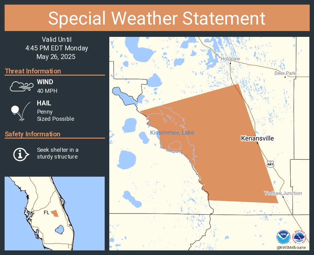
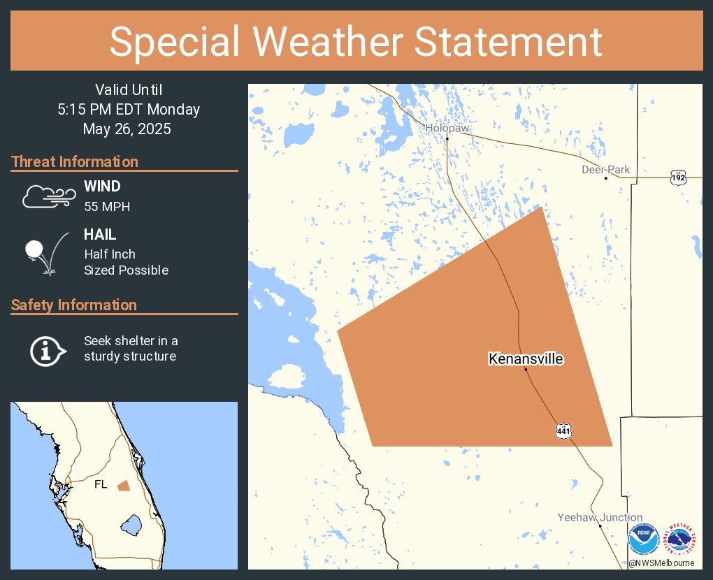
Mon. 5/26 | Memorial Day will feature hot and humid conditions (heat indices 97°-102°F), alongside scattered afternoon rain and storms. Any storm will be capable of gusty winds, frequent lightning, and torrential rain. At the beaches, a moderate risk of rip currents exists. #FLwx

Mon. 5/26 | Memorial Day will feature hot and humid conditions (heat indices 97°-102°F), alongside scattered afternoon rain and storms. Any storm will be capable of gusty winds, frequent lightning, and torrential rain. At the beaches, a moderate risk of rip currents exists. #FLwx
ICECHIP (@nsf_icechip) 's Twitter Profile Photo

Yesterday, #ICECHIP teams collected numerous hailstones > 100 mm in diameter, with the largest one being at least 139 mm (5.47 inches) just east of Afton, Texas. These stones will be sent to the cold lab at NCAR.

Yesterday, #ICECHIP teams collected numerous hailstones > 100 mm in diameter, with the largest one being at least 139 mm (5.47 inches) just east of Afton, Texas. These stones will be sent to the cold lab at NCAR.
Tornado Archive (@torarchive) 's Twitter Profile Photo

2024 was a very busy year for tornadoes in the US, so it's taken a while to get all the data processed. We're in the final stages of this, and the 2024 US data will hopefully be released soon. We're also working on getting updated European data from ESWD, hopefully this summer.

2024 was a very busy year for tornadoes in the US, so it's taken a while to get all the data processed. We're in the final stages of this, and the 2024 US data will hopefully be released soon. We're also working on getting updated European data from ESWD, hopefully this summer.