Kilian Vos (@_kvos) 's Twitter Profile
Kilian Vos

@_kvos

Remote Sensing, Machine Learning, Coastal, #opensource developer, #CoastSat, Coastal webGIS coastsat.space | alumni @UNSWWRL @EPFL_en

ID: 1048152140177334272

linkhttps://kvos.github.io/ calendar_today05-10-2018 10:05:18

655 Tweet

1,1K Followers

182 Following

Caleb Robinson (@calebrob6) 's Twitter Profile Photo

1/ 🎉 I'm really excited to announce the release of TorchGeo 0.5.0! This is a Python library for using PyTorch with geospatial data. The release covers 8 months of work, introduces many new features, and is all thanks to 20 global contributors! See github.com/microsoft/torc…

Communications Earth & Environment (@commsearth) 's Twitter Profile Photo

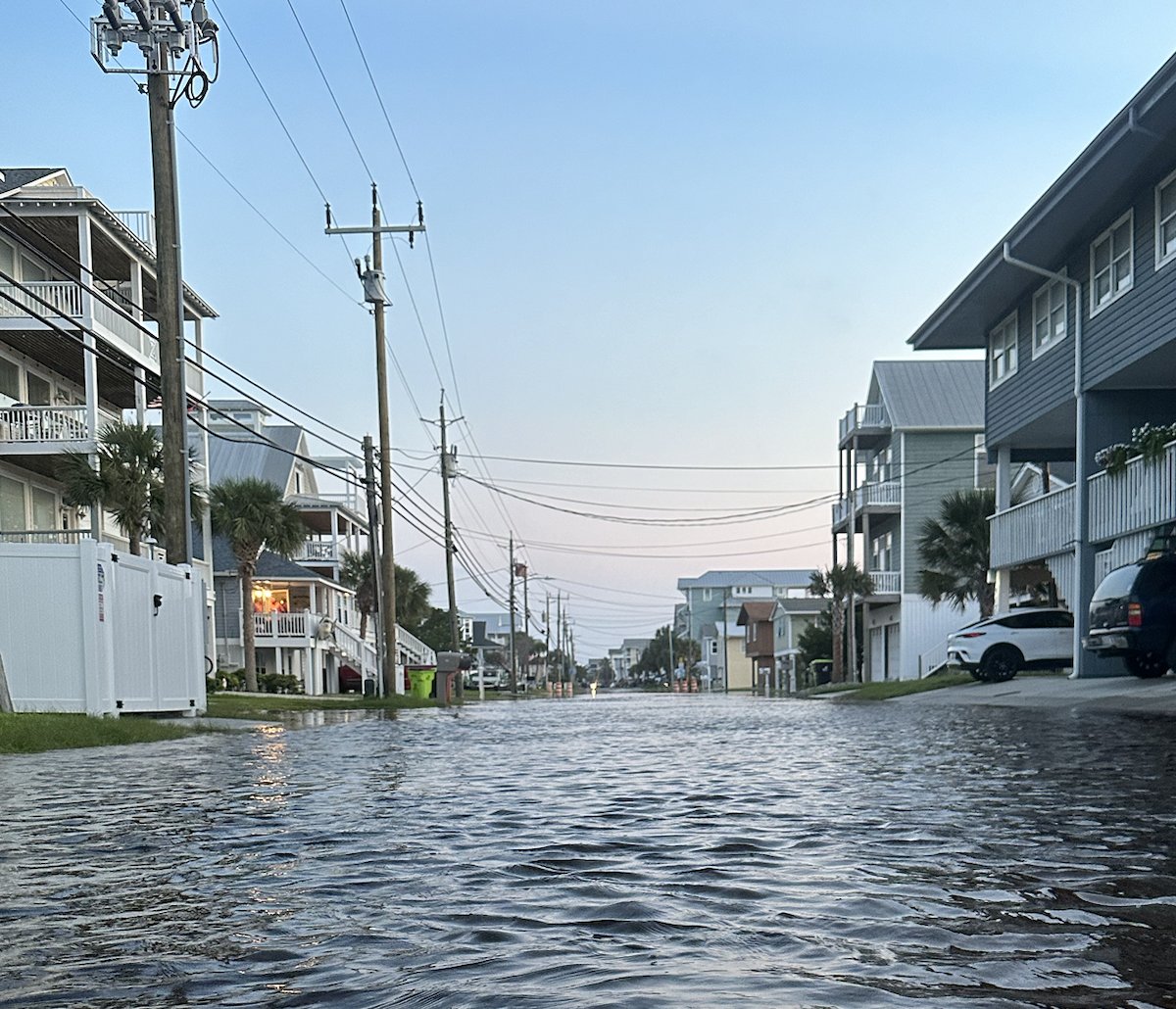
A benchmarking study of five satellite-derived shoreline mapping algorithms at four sandy beaches demonstrates a horizontal accuracy of 10 m in microtidal conditions. Kilian Vos @UNSWWRL Dr. Kristen Splinter 🚺🇦🇺🇨🇦 nature.com/articles/s4324…

A benchmarking study of five satellite-derived shoreline mapping algorithms at four sandy beaches demonstrates a horizontal accuracy of 10 m in microtidal conditions.

<a href="/_kvos/">Kilian Vos</a> @UNSWWRL <a href="/KDSplinter/">Dr. Kristen Splinter 🚺🇦🇺🇨🇦</a> 

nature.com/articles/s4324…
Kilian Vos (@_kvos) 's Twitter Profile Photo

I have uploaded on EarthArXiv a preprint doi.org/10.1038/s41561… of the accepted version of our paper "Pacific shoreline erosion and accretion patterns controlled by El Niño/Southern Oscillation" published in Nature Geoscience. This is possible after the 6 months embargo period.

Timothy Price (@timothydprice) 's Twitter Profile Photo

📢#PhD vacancy! Tjeerd J Bouma and me seek a candidate for a 4-year, fully-funded project: Enhancing estuarine flood resilience by tidal foreshore-management technologies. ✅ field & flume work, mud, transdisciplinary team All info: uu.nl/en/organisatio… Geosciences UU @NIOZnieuws

📢#PhD vacancy! <a href="/TjeerdBouma/">Tjeerd J Bouma</a> and me seek a candidate for a 4-year, fully-funded project:

Enhancing estuarine flood resilience by tidal foreshore-management technologies.

✅ field &amp; flume work, mud, transdisciplinary team

All info: uu.nl/en/organisatio…

<a href="/UUGeo/">Geosciences UU</a> <a href="/NIOZnieuws/">@NIOZnieuws</a>
Kilian Vos (@_kvos) 's Twitter Profile Photo

📢New #CoastSat release (github.com/kvos/CoastSat): - create an animation with the mapped shorelines like below - advanced time-series analysis including long-term trends - option to adjust the s2cloudless probability threshold for better cloud masking #coastal #Landsat #Sentinel2

Kilian Vos (@_kvos) 's Twitter Profile Photo

Last call to register for the UNESCO IGCP Project 725 Virtual workshop on "Mining the Historical Coastal Record". It is free and only takes 1 minute to register (TINYURL.COM/IGCP-GJIII). Full program below 👇 #freeworkshop #coastalchange

Last call to register for the 
UNESCO IGCP Project 725 Virtual workshop on "Mining the Historical Coastal Record". It is free and only takes 1 minute to register (TINYURL.COM/IGCP-GJIII).

Full program below 👇 #freeworkshop #coastalchange
Katherine Anarde (@anardeeek) 's Twitter Profile Photo

I am advertising a two-year postdoc related to remote sensing of chronic coastal floods. The position will be jointly at UNC Chapel Hill in the Global Hydrology Lab and in my research group, the Coastal Hazards Lab at North Carolina State University: lnkd.in/eWaX8W7m

I am advertising a two-year postdoc related to remote sensing of chronic coastal floods. The position will be jointly at UNC Chapel Hill in the Global Hydrology Lab and in my research group, the Coastal Hazards Lab at North Carolina State University: lnkd.in/eWaX8W7m
Kilian Vos (@_kvos) 's Twitter Profile Photo

#CoastSat 3.0 is now live! github.com/kvos/CoastSat This release includes integration with the FES2022 global tide model (aviso.altimetry.fr/en/data/produc…) developed by CNES, which makes it now possible to apply a tidal correction and estimate beach slopes directly in CoastSat.

#CoastSat 3.0 is now live! github.com/kvos/CoastSat
This release includes integration with the FES2022 global tide model (aviso.altimetry.fr/en/data/produc…) developed by <a href="/CNES/">CNES</a>, which makes it now possible to apply a tidal correction and estimate beach slopes directly in CoastSat.
Kilian Vos (@_kvos) 's Twitter Profile Photo

I'll be attending the Space Tech Expo Europe tomorrow in Bremen, if anyone is also planning to be there would be nice to catch up and discuss the latest in Earth Observation! #SpaceTechExpo invt.io/1txbnuktlrv

Kilian Vos (@_kvos) 's Twitter Profile Photo

🛰️Big update!🌊 New EO platform at coastsat.space with updated satellite-derived shoreline change time-series from 1984 to 2024 with #CoastSat and #Landsat for Australia, California, Mexico, Japan, NZ, Peru, Chile, US East Coast (Delaware to Texas). #EarthObservation