California Forest Observatory
@forestobs
The CFO is a data-driven forest monitoring system, mapping the drivers of wildfire behavior across the state from space.
Built by @SaloSciences and @PlanetLabs
ID: 1269035407246716928
05-06-2020 22:36:41
100 Tweet
334 Followers
80 Following

"One day if I go to heaven...I’ll look around & say, ‘It ain’t bad, but it ain’t #SanFrancisco.’" - Herb Caen Big part of the city’s charm—aside from karl the fog—is the trees & parks seen here without buildings or roads. Explore #SF greenery: buff.ly/35tRCBR #ForestFriday


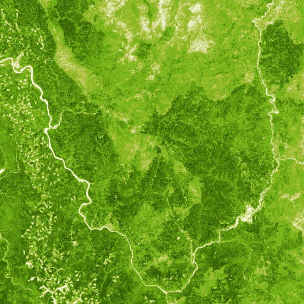
Time for another round of California landmarks! Do you know where this tree height map comes from? Check your answer on California Forest Observatory: buff.ly/3q9199B #ForestFriday


Whisky Hill, the site of Salo Sciences latest field trip, is in the dramatic burn scar of the 2013 American Fire. The team spent two days in the surrounding area doing field validation on CFO data, filming for Businessweek and of course, drinking whisky (Old Forester) #forestfriday


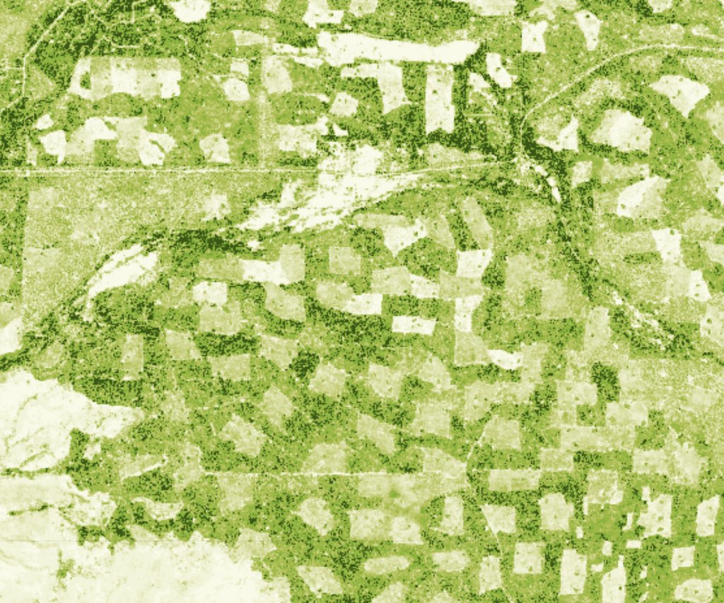
Hey everyone, we're way overdue for several California Forest Observatory updates (including Earth Engine integration). Until then, here's a map of canopy cover change, 2016-2020. Warm colors->loss, cool colors->gain . The big blob is the Carr fire. Check out the harvest and regrowth patterns


The Moonlight Fire area has had a lot of salvage, and there is not much canopy cover across these areas, so if we got some clear air, we could potentially make a lot of hay with air tankers in this area. Canopy cover data from California Forest Observatory forestobservatory.com #DixieFire


Ahead of @cop26, we’re proud to see our forest & wildfire monitoring tech featured in "10 Tech Solutions Curbing Climate Change" by Giving Compass Insights 🌍 #TogetherForOurPlanet | #ClimateAction bit.ly/3pLswsJ


DM or email us at [email protected] to learn how to use our free data to improve forest & wildfire resilience in your region.

Great overview from @Planet of how the California Forest Observatory contributes to better wildfire resilience in CA. Salo takes it even further by simulating 100s of millions of fires to create the highest res & most up-to-date maps of fire hazard ever created. 📖 bit.ly/2ZRvMIg #Cop26

See how data produced by the Forest Observatory is used in a new forest carbon focused product from Salo Sciences

