Environmental Scientist with a big interest in #geospatial #rstats #rspatial #python #QGIS #EarthEngine #beavers
ID: 4016856743
https://h-a-graham.github.io/ 22-10-2015 12:34:13
2,2K Tweet
944 Followers
769 Following


Permian Global has released its in-house developed software for processing satellite imagery as open-source and help others working in remote sensing to analyse biomass and land-use imagery. Christopher Philipson Hugh Graham @[email protected] #opensource #satellitedata permianglobal.com/press-release/…

If you're an #rstats #rspatial fan and you've not discovered {rsi} yet check it out at: permian-global-research.github.io/rsi/ it's an amazing package by @[email protected] that massively streamlines your #remotesensing workflows! 🌏🌴🌳🛰️


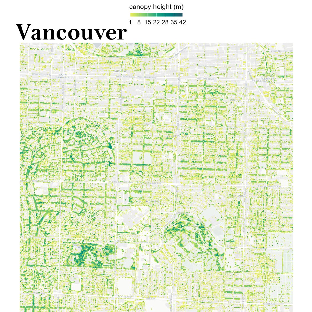
🗣️Mapped the urban #canopy 🌳of 5 cities leading the way in #urbantreeequity! Using high-res data, it's inspiring to see how #Portland 🇺🇸, #Vancouver 🇨🇦,#Seattle 🇺🇸, #Melbourne 🇦🇺,#Berlin 🇩🇪 are prioritizing green spaces for all residents. Thanks to Milos Popovic #DataScience #R


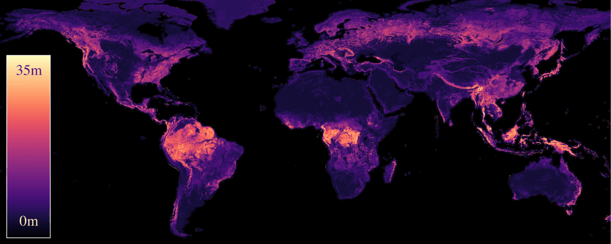
Our paper "Estimating Canopy Height at Scale" has been accepted to #ICML24, where we significantly advance global canopy height mapping. w/ Max Zimmer, U. Kelly, M. Schwartz, S. Saatchi, Philippe.ciais , Sebastian Pokutta , Martin Brandt, F. Gieseke arxiv.org/abs/2406.01076 🧵 1/5
