Jack Kendrick (@jackendrickwx) 's Twitter Profile
Jack Kendrick

@jackendrickwx

Carolina weather, sports, photography || @NCState Meteorology Class of '25.

ID: 1402434787789389824

calendar_today09-06-2021 01:18:35

3,3K Tweet

1,1K Followers

391 Following

Jack Kendrick (@jackendrickwx) 's Twitter Profile Photo

Awesome satellite loop over the Carolinas this morning. Widespread undercast in the SW corner of NC with a front drifting southward over eastern SC. #NCwx #SCwx

☈ Chris Jackson ☈ (@chrisjacksonsc) 's Twitter Profile Photo

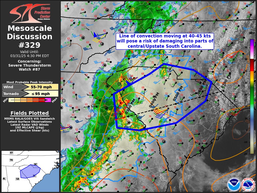
The last 12hrs has caught my attention for a very localized severe weather risk tomorrow along I-85 from the GA/SC border up through Charlotte. This is a sneaky sneaky little setup with a differential heating boundary and nearly 70° dewpoints along it with adequate wind

The last 12hrs has caught my attention for a very localized severe weather risk tomorrow along I-85 from the GA/SC border up through Charlotte. 

This is a sneaky sneaky little setup with a differential heating boundary and nearly 70° dewpoints along it with adequate wind
Jack Kendrick (@jackendrickwx) 's Twitter Profile Photo

Hints of winter have made a brief comeback across the Carolinas the last couple days, with Mount Mitchell bottoming out in the mid 20s the last two mornings, as well as single digit wind chills yesterday AM. Nothing crazy for WNC, but it is April! #NCwx Data via NC Climate Office
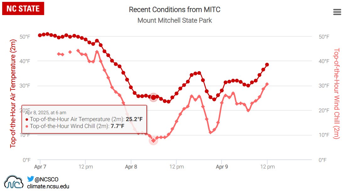
Hints of winter have made a brief comeback across the Carolinas the last couple days, with Mount Mitchell bottoming out in the mid 20s the last two mornings, as well as single digit wind chills yesterday AM. 

Nothing crazy for WNC, but it is April! #NCwx

Data via <a href="/NCSCO/">NC Climate Office</a>
Jack Kendrick (@jackendrickwx) 's Twitter Profile Photo

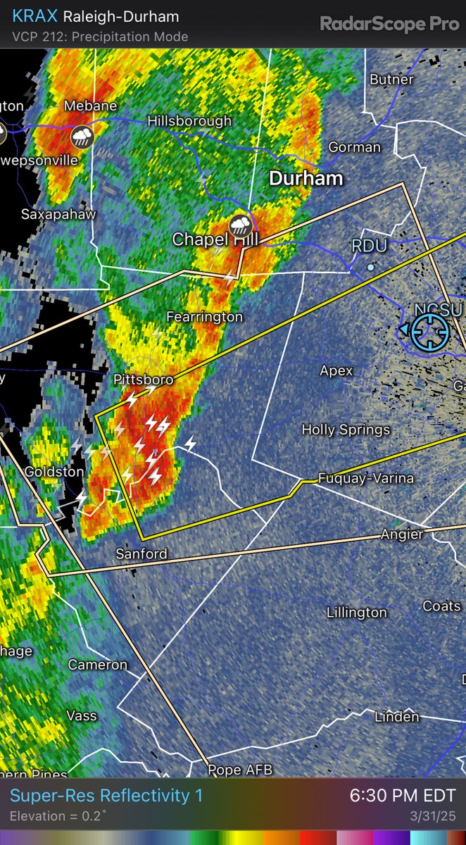
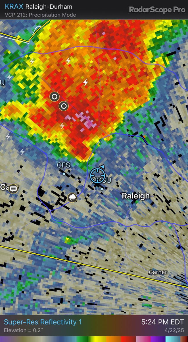
Seabreeze and outflow boundary from ongoing convection over central NC interact, and bang, new/heavier precipitation is sparked. Sick. #NCwx