Jennings Anderson
@jennings_in_geo
GeoInformation Scientist researching OpenStreetMap. Computer Science PhD
ID: 388476149
https://jenningsanderson.com 10-10-2011 20:14:42
220 Tweet
820 Followers
960 Following

When I started CU Boulder 🦬, these tweets were just 1 year old... this week marks 6. Here's a gif of geotagged tweets about #HurricaneSandy from Oct 25, 2012 (Green) to Sandy's landfall (red) .. tweets in the ocean mark the storm's path. #builtwithmapbox

Historical #openstreetmap data with a festive color scheme... Check out how the map of Denver, CO evolved. Also, see openstreetmap.org/user/Jennings%… for more on the OSM data analysis (from the workshop @mojodna and I put on at #SOTMUS2018 State of the Map US)

Excited for my #HICSS talk Thursday morning at 10am in Pikake 1! It's about our new Twitter data collection infrastructure that improves analysis by adding more conversational and geographic context with Gerard Casas Saez, Ken Anderson, leysia palen, & Rebecca Morss hdl.handle.net/10125/59666

Join us on the snow tomorrow for grabbing some .gpx files and photo data! We're heading to Loveland Ski Area (Boulder types, be at Caffe Sole before 7:15am - see the carpool sheet): meetup.com/Maptime-Boulde…

Where and what are corporate data teams editing in OpenStreetMap? Here we explore the long history of corporate involvement in the #OSM ecosystem which now includes a growing number of paid mappers leysia palen D:\pto Sarkar

Here's a link to the full paper, co-authored by D:\pto Sarkar and leysia palen mdpi.com/2220-9964/8/5/… #shamelessplug #sotmus #openstreetmap

Finishing off the Academic Track of State of the Map, @JenningsatCU (the only person to present in all 3 editions of the Track) and D:\pto Sarkar will continue their exploration of corporate editing in OpenStreetMap. Expecting a very lively discussion at: streaming.media.ccc.de/sotm2020/track2 (@ 18:00 UTC)


Very proud to share this - I've been published! My article exploring the nuances of cooperate mapping in the OSM-world went live today. Thanks Bloomberg CityLab, Laura Bliss, & @JenningsatCU for the support & excited to put out similar stuff in the near future! bloomberg.com/news/articles/…


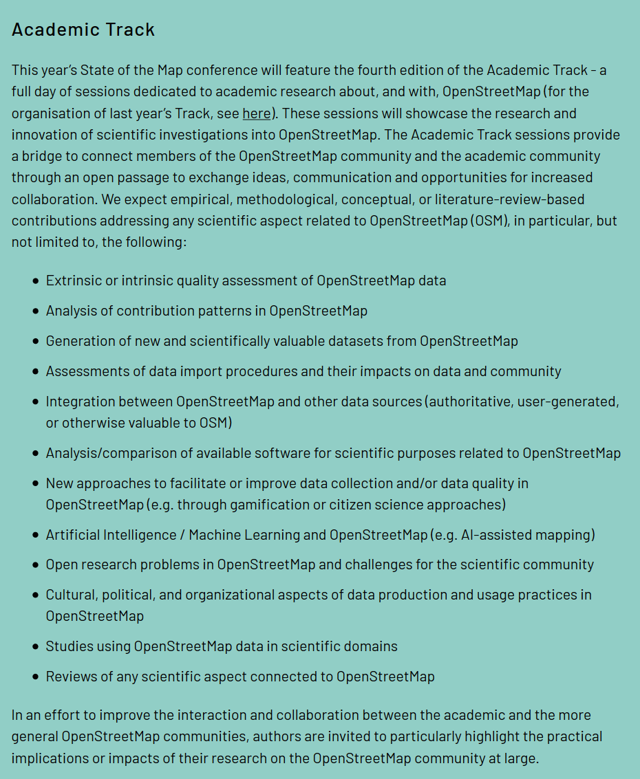
For the 4th time, the State of the Map conference will have an Academic Track dedicated to the presentation of scientific and research applications of #OpenStreetMap 🌍🎓 The call for abstracts is now open. You have time to submit yours until April 25! 🔗 2021.stateofthemap.org/calls/academic


With the attention that paid / corporate editing in OpenStreetMap is receiving, I produced some new figures to show what's happened since 2019 (when we wrote our original corporate editing article) openstreetmap.org/user/Jennings%…


🌐 How many decimal digits do you need for longitude and latitude? Not as many as you think. Visualized on this Observable notebook: observablehq.com/@mourner/latit…

HeatherLeson - @[email protected] @JenningsatCU @JenningsatCU and D:\pto Sarkar did research co-contribution networks. But I think that there is much more to be done, focussing on content from the data-driven perspective along with practices, management, & impacts from a social perspective.


