kountche (@kountche1) 's Twitter Profile
kountche

@kountche1

Technologie & Science

ID: 862591869145972736

calendar_today11-05-2017 08:55:02

52 Tweet

266 Followers

24 Following

GFDRR (@gfdrr) 's Twitter Profile Photo

In Niamey, 🇳🇪 #Niger, #drones, #OpenStreetMap and open flood modeling 💻are helping #drm practitioners better understand the city's flood vulnerability: wrld.bg/8QOG30kvYgn

Samir Abdelkrim (@samirabdelkrim) 's Twitter Profile Photo

Un honneur et un plaisir ému de retrouver à Bordeaux un frère et ami et surtout un des héros de #StartupLions, Aziz Kountche kountche le fondateur de la startup hardware nigérienne Drone Africa Services dont je raconte le parcours dans mon livre et com… bit.ly/2tqnrIs

Un honneur et un plaisir ému de retrouver à Bordeaux un frère et ami et surtout un des héros de #StartupLions, Aziz Kountche <a href="/kountche1/">kountche</a> le fondateur de la startup hardware nigérienne Drone Africa Services dont je raconte le parcours dans mon livre et com… bit.ly/2tqnrIs
kountche (@kountche1) 's Twitter Profile Photo

Visite des bureaux de Drone Africa Service de la mission de la délégation du fond monétaire international (FMI) de passage au Niger . Un grand merci à la délégation pour leurs encouragement à notre égard .

Visite des bureaux de Drone Africa Service de la mission de la délégation du fond monétaire international (FMI) de passage au Niger .
Un grand merci à la délégation pour leurs encouragement à notre égard .
GFDRR (@gfdrr) 's Twitter Profile Photo

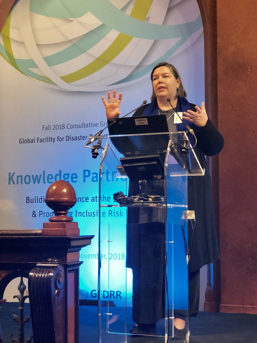
How can we better empower women decision-makers to reduce climate and disaster risk? fatima alher shares lessons learned at the 2018 Knowledge Partnership Day World Bank @europeaid

How can we better empower women decision-makers to reduce climate and disaster risk? <a href="/falher3/">fatima alher</a>  shares lessons learned at the 2018 Knowledge Partnership Day <a href="/WorldBank/">World Bank</a> @europeaid
GFDRR (@gfdrr) 's Twitter Profile Photo

Climate and disaster #resilience starts at the community level. Senior Social Development Specialist Margaret Arnold explains how GFDRR and The World Bank are working to scale up these inclusive social investments. @europeaid

Climate and disaster #resilience starts at the community level. Senior Social Development Specialist Margaret Arnold explains how <a href="/GFDRR/">GFDRR</a> and The <a href="/WorldBank/">World Bank</a> are working to scale up these inclusive social investments. @europeaid
GFDRR (@gfdrr) 's Twitter Profile Photo

Gaming for #resilience - teams compete at GFDRR's Knowledge Partnership Day to build inclusive disaster risk governance strategies World Bank @europeaid

Gaming for #resilience - teams compete at GFDRR's Knowledge Partnership Day to build inclusive disaster risk governance strategies <a href="/WorldBank/">World Bank</a> @europeaid
World Bank Cities (@wbg_cities) 's Twitter Profile Photo

From Senegal to Sri Lanka, local communities are coming together to 🗺️ map some of the world's most disaster-prone areas – yielding invaluable data and information for #resilience. Check out our new blog and join us on Wed., Nov. 14 for the #WBMapathon: wrld.bg/7Etu30mx0v5

From Senegal to Sri Lanka, local communities are coming together to 🗺️ map some of the world's most disaster-prone areas – yielding invaluable data and information for #resilience. Check out our new blog and join us on Wed., Nov. 14 for the #WBMapathon: wrld.bg/7Etu30mx0v5
kountche (@kountche1) 's Twitter Profile Photo

Journée thématique intra-ACP Sur l'intégration de la gestion des risques et #catastrophes et l'adaptation au changement climatique dans les pays #ACP @vdeparday GFDRR fatima alher Drone Africa Service

Journée thématique intra-ACP
Sur l'intégration de la gestion des risques et #catastrophes et l'adaptation au changement climatique dans les pays #ACP @vdeparday <a href="/GFDRR/">GFDRR</a> <a href="/falher3/">fatima alher</a> <a href="/africa_service/">Drone Africa Service</a>
kountche (@kountche1) 's Twitter Profile Photo

Les éléves du lycée lafontaine forment l'afrique et le Niger . Prise de vue aerienne par drone . m.youtube.com/watch?v=DJ8CSX…

GFDRR (@gfdrr) 's Twitter Profile Photo

Open source #mapping, #drones and #modeling — 🇳🇪 Nigeriens are taking the lead in reducing flood risk in Niamey through technology and innovation: wrld.bg/GFK430lwRvA World Bank Africa

Open source #mapping, #drones and  #modeling —  🇳🇪 Nigeriens are taking the lead in reducing flood risk in Niamey through technology and innovation: wrld.bg/GFK430lwRvA <a href="/WorldBankAfrica/">World Bank Africa</a>
fatima alher (@falher3) 's Twitter Profile Photo

En route sur #Abidjan pour représenter le #Niger ensemble nous sommes plus fort face à la #Gestion et #prevention des risques et catastrophe naturelle avec GFDRR Banque mondiale Drone Africa Service MapTic
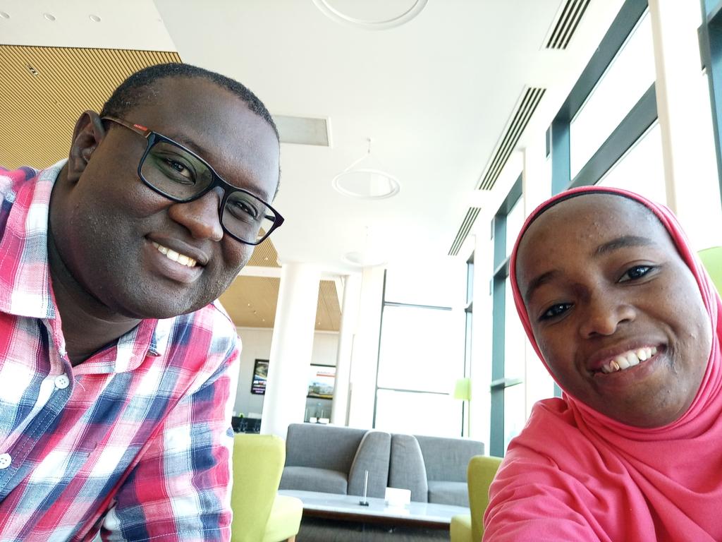
En route sur #Abidjan pour représenter le #Niger ensemble nous sommes  plus fort face à la  #Gestion et #prevention des risques et catastrophe naturelle avec <a href="/GFDRR/">GFDRR</a>  <a href="/Banquemondiale/">Banque mondiale</a>  <a href="/africa_service/">Drone Africa Service</a> <a href="/MapTicNiger/">MapTic</a>
GFDRR (@gfdrr) 's Twitter Profile Photo

.@jshan0123 of PwC’s Global International Development practice on why projects that build urban #resilience before #disaster strikes have often struggled to attract private financing. A #throwbackthursday to our #ResilienceDialogue on #resilientcities. Check out the full recap: wrld.bg/5GIO30jH1Sc

.@jshan0123 of <a href="/PwC_InterDev/">PwC’s Global International Development practice</a> on why projects that build urban #resilience before #disaster strikes have often struggled to attract private financing. A #throwbackthursday to our #ResilienceDialogue on #resilientcities. Check out the full recap: wrld.bg/5GIO30jH1Sc
Understanding Risk (@understandrisk) 's Twitter Profile Photo

Flying Robots: using #drones to understand disaster risk. #UAV #UR2018 Compared to #Zanzibar's traditional aerial mapping from 2004, the Zanzibar Mapping Initiative provided imagery of significantly higher quality and cost 10x less! understandrisk.org/flying-robots-…

Flying Robots: using #drones to understand disaster risk. #UAV #UR2018
Compared to #Zanzibar's traditional aerial mapping from 2004, the Zanzibar Mapping Initiative provided imagery of significantly higher quality and cost 10x less! 
understandrisk.org/flying-robots-…