Kris Bedka (@krisbedka) 's Twitter Profile
Kris Bedka

@krisbedka

Research Scientist, @NASA_Langley, Weather/Climate Science, especially convection, mesoscale processes, and Doppler wind lidar. All views are my own

ID: 854686588219138050

calendar_today19-04-2017 13:22:16

2,2K Tweet

572 Followers

216 Following

Joshua Stevens (@jscarto) 's Twitter Profile Photo

One of my favorite visualizations to produce. Watch as the relationship of rainfall over land inverts and becomes rainfall over Lake Victoria as day turns to night. Lake Victoria is notorious for its intense nighttime thunderstorms: earthobservatory.nasa.gov/images/147231/…

Tornados México (@tornadosmexico) 's Twitter Profile Photo

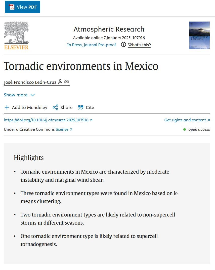
#PaperAlert Acaba de salir mi primer artículo en solitario que lleva por título "Tornadic Environments in Mexico" y fue publicado en la revista de Atmospheric Research. Lo pueden consultar de forma gratuita (es Open Access) en el siguiente enlace: dx.doi.org/10.1016/j.atmo…

#PaperAlert 

Acaba de salir mi primer artículo en solitario que lleva por título "Tornadic Environments in Mexico" y fue publicado en la revista de Atmospheric Research. 

Lo pueden consultar de forma gratuita (es Open Access) en el siguiente enlace: dx.doi.org/10.1016/j.atmo…
Kris Bedka (@krisbedka) 's Twitter Profile Photo

#AMS2025 attendees, please stop by my talk on Tues 14 Jan at 5 PM to learn about airborne Aerosol Wind Profiler lidar data collected during 2 NASA field campaigns in Fall 2024. Here's sample slides showing AWP data from the Airborne Science Gulfstream-3 ams.confex.com/ams/105ANNUAL/…
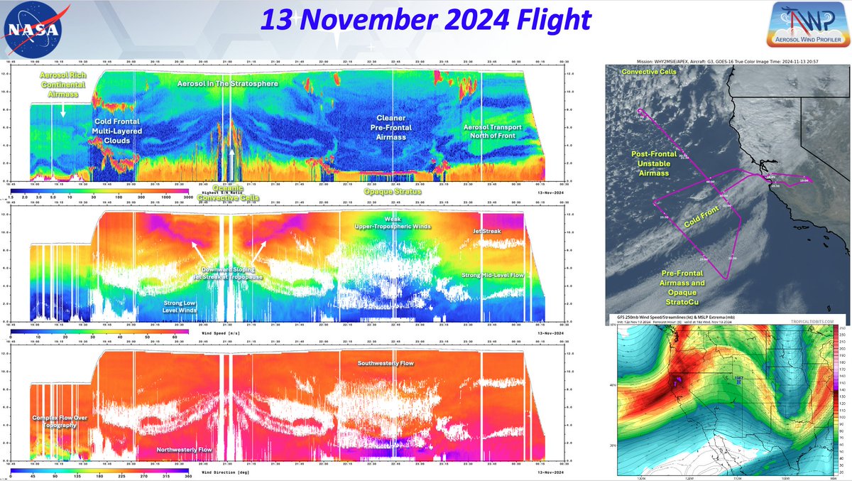
#AMS2025 attendees, please stop by my talk on Tues 14 Jan at 5 PM to learn about airborne Aerosol Wind Profiler lidar data collected during 2 NASA field campaigns in Fall 2024. Here's sample slides showing AWP data from the <a href="/NASAAirborne/">Airborne Science</a> Gulfstream-3 ams.confex.com/ams/105ANNUAL/…
Andrea Gordon (@andreaegordon) 's Twitter Profile Photo

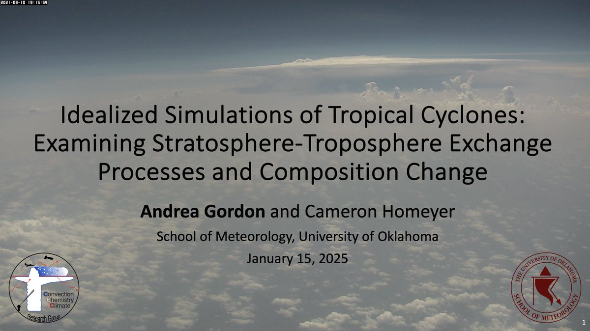
If you’re around #AMS2025 tomorrow, stop by my talk about stratosphere-troposphere exchange and tropical cyclones in room 226 at 1:45 pm!

If you’re around #AMS2025 tomorrow, stop by my talk about stratosphere-troposphere exchange and tropical cyclones in room 226 at 1:45 pm!
𝙎𝙍_𝙋𝙡𝙖𝙣𝙚𝙨𝙥𝙤𝙩𝙩𝙚𝙧 (@sr_planespotter) 's Twitter Profile Photo

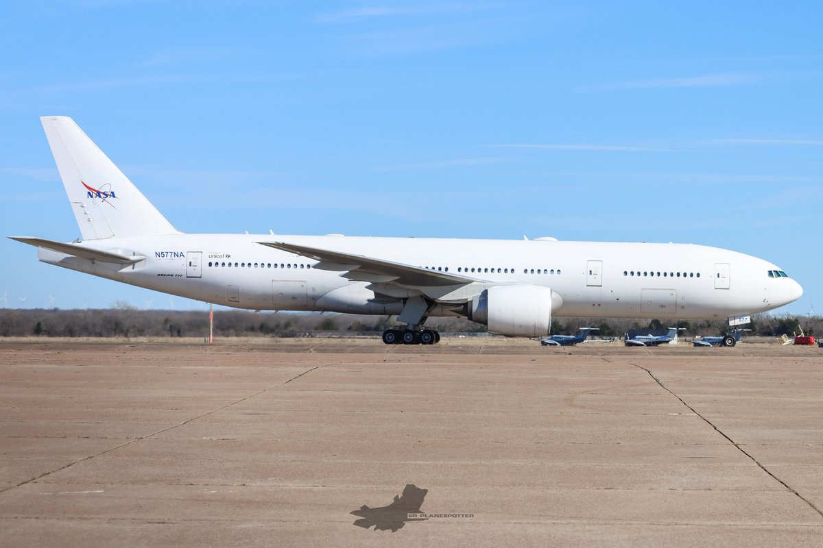
Brand New NASA 777 N577NA arrives in Waco. This aircraft is replacing their now retired DC-8, used for sensor development, satellite sensor verification, and basic research studies of the Earth's surface and atmosphere.

Brand New NASA 777 N577NA arrives in Waco. 

This aircraft is replacing their now retired DC-8, used for sensor development, satellite sensor verification, and basic research studies of the Earth's surface and atmosphere.
NASA Langley Research Center (@nasa_langley) 's Twitter Profile Photo

Coming in for a landing 🚀🌕 During last week's Moon landing, our SCALPSS cameras captured first-of-its-kind video of the lunar lander’s engine plumes interacting with the Moon’s surface. Read more: go.nasa.gov/4huTkVd

Scott Bachmeier (@cimss_satellite) 's Twitter Profile Photo

#GOESWest True Color RGB images showed a von Kármán vortex street -- created by north-northwesterly winds interacting with the sharp western tip of Nelson Island, Alaska -- propagating south across the Bering Sea on 20 March. Full resolution: cimss.ssec.wisc.edu/satellite-bl... #AKwx

NASA Langley Research Center (@nasa_langley) 's Twitter Profile Photo

In the wake of the tornadoes that struck the Southeastern U.S. March 14-16, NASA Langley researchers supported by the NASA Disasters Program, mapped potential severe weather by observing patterns in the storm-tops using NOAA GOES satellite data. appliedsciences.nasa.gov/our-impact/sto…

American Meteorological Society (@ametsoc) 's Twitter Profile Photo

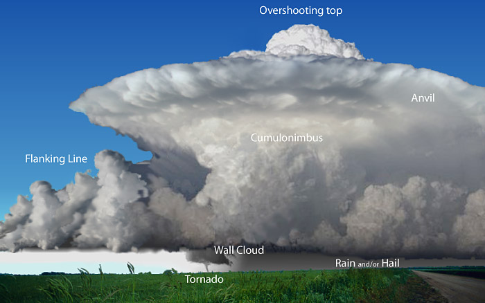
WORD OF THE WEEK 💬 Overshooting top — (Or anvil dome, penetrating top.) A domelike protrusion above a cumulonimbus anvil, representing the intrusion of an updraft through its equilibrium level (level of neutral buoyancy). More about overshooting top: bit.ly/4bL62Oz

WORD OF THE WEEK 💬
Overshooting top — (Or anvil dome, penetrating top.) A domelike protrusion above a cumulonimbus anvil, representing the intrusion of an updraft through its equilibrium level (level of neutral buoyancy).

More about overshooting top: bit.ly/4bL62Oz
Kris Bedka (@krisbedka) 's Twitter Profile Photo

An airborne field campaign that I led with the NASA Langley Research Center Aerosol Wind Profiler (AWP) Doppler wind lidar was featured today by NASA. nasa.gov/missions/airbo… Learn more about the 3-D animation featured in this article here: svs.gsfc.nasa.gov/5509


NASA Langley Research Center (@nasa_langley) 's Twitter Profile Photo

Hurricanes and severe storms can be disastrous and develop rapidly. The Aerosol Wind Profiler (AWP) is an instrument NASA is using that can significantly improve our ability to forecast and respond to dangerous weather. Read more: go.nasa.gov/4cVE4jv

CIRA (@cira_csu) 's Twitter Profile Photo

Severe storms erupted across the U.S. Plains yesterday evening. GOES-19 captured this impressive view over Nebraska.

The Associated Press (@ap) 's Twitter Profile Photo

The AP is tagging along with scientists from Project ICECHIP to chase one of the nation’s costliest but least-appreciated weather dangers: hail. It's rarely deadly, but it causes about $10 billion in damage each year in the U.S. Follow along for the journey.

Nichole “Vapor” Ayers (@astro_ayers) 's Twitter Profile Photo

Just. Wow. As we went over Mexico and the U.S. this morning, I caught this sprite. Sprites are TLEs or Transient Luminous Events, that happen above the clouds and are triggered by intense electrical activity in the thunderstorms below. We have a great view above the clouds, so

Just. Wow. As we went over Mexico and the U.S. this morning, I caught this sprite.

Sprites are TLEs or Transient Luminous Events, that happen above the clouds and are triggered by intense electrical activity in the thunderstorms below. We have a great view above the clouds, so