Craig Shephard
@megdog77
Remote sensing scientist by day, Dad by night.
ID: 300148241
17-05-2011 08:43:42
249 Tweet
106 Followers
154 Following

New map shows fire impacts on Aussie banana, avo, maca, citrus, olive and mango orchards Weekly Times Citrus_Australia OliveIndustryNetwork @DeptAgNews Uni of New England Applied Agricultural Remote Sensing Centre, UNE #RRD4P Horti Daily is.gd/B1Mx8t


The Australian tree crop rapid response map is being updated, you can help our scientists build it by adding your tree crop via the land use survey app: une.edu.au/landusesurvey Hort Innovation Avocados Australia Citrus_Australia AustralianMacadamias Aussie Bananas

.R&D by Applied Agricultural Remote Sensing Centre, UNE building insights for 🌰 industry #macadamia #map #spatial

Global recognition from Esri at #esriuc2020 for this master piece [ bit.ly/3fWRde6 ] has left us pretty chuffed! This interactive creation is by AARSC researchers and all around legends Craig Shephard Joel McKechnie 👏🌳🗺️ youtube.com/watch?v=2ec6E9…


Could this be the sheep graziers warning equivalent for our tree crop growers? une.edu.au/connect/news/2… Uni of New England Hort Innovation


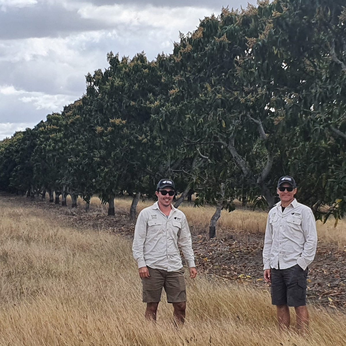
Happy GIS Day! The Applied Agricultural Remote Sensing Centre, UNE uses #GIS to map tree crops in Australia. This example shows the field validation of a mango orchard, and the final map as published in our ArcGIS Online Dashboard. View it and more in our gallery: une.edu.au/webapps


Exciting #PhD #scholarships for Aus students on #remotesensing and field sensors (dendrometers, sap flow, soil moisture, weather) in tree crops for irrigation, stress, yield, mapping with Applied Agricultural Remote Sensing Centre, UNE une.edu.au/research/hdr/s…

Horticulture tree crops... how much and where??? Launch and interact with the Australian Tree Crop Map in our Dashboard app and find out! For the best experience we recommend viewing on your desktop. @EsriAgriculture ArcGIS Apps Esri Australia #GIS


🌏 AARSC put *on the map* with *FIRST PLACE* in global conference. 🏆 Congratulations to our very own Joel McKechnie and Craig Shephard who have been awarded FIRST PLACE at the global Esri User Conference for their Australian Tree Crop Map Dashboard: bit.ly/3kjWj90


We are Spatially Enabling the Nation’s Protected Cropping Industries 🛰💪 New project announcement! bit.ly/3tFIWTB Lead by our team at AARSC with the support of Hort Innovation Future Food Systems CRC Uni of New England Local Land Services and Protective Cropping Australia #remotesensing #research


Using the Australia Tree Crop Map: Severe Weather App two storm cells were detected over Lewiston, SA yesterday. une.edu.au/webapps The first at 9:14am and again at 10:49am. The potential impacts area for olive groves was 555ha and 355ha. Hort Innovation #AustralianOlives


AARSC starts its search for nuts in South Africa🌍🛰 Crop mapping technologies by Uni of New England's AARSC research team sought internationally une.edu.au/connect/news/2… #research #remotesensing #biosecurity

🎉#LatestPaper A Multifaceted Approach to #Developing an Australian National #Map of Protected #Cropping Structures ✍ by Andrew Clark, Craig Shephard, Andrew Robson, Joel McKechnie, R. Blake Morrison and Abbie Rankin University of New England 👉mdpi.com/2073-445X/12/1… #greenhouses #satellite


