Andréa P Nicolau
@puzzinicolau
Sr. Geospatial Scientist @SIG_GIS @ServirAmazonia | @UAHuntsville MS Earth Science | @uff_br BS Env. Eng. | Earth Engine @GoogleDevExpert | Views my own | 🇧🇷
ID: 1009504112772354048
https://www.linkedin.com/in/andreanicolau/ 20-06-2018 18:31:50
2,2K Tweet
3,3K Followers
2,2K Following

fui ao Baixo Tapajós conferir o estrago causado por mais uma temporada de megaincêndios na Amazônia turbinados pela crise climática e pelo El Niño, guiado por Erika Berenguer e Joice Ferreira, da Rede Amazônia Sustentável. o relato está na revista piauí de fevereiro piaui.folha.uol.com.br/megaincendios-…

Very grateful to excellent collaborators Alliance of Bioversity International and CIAT, Imaflora, University of Salford, USAID/Brazil, and coauthors including, Andréa P Nicolau, Wendy Francesconi🌴 🦋🐞🐝, Amy, @nekodawn, Bernardo Caldas, Teal Richards-Dimitrie, @ShrewGod, David Saah & more, plus support from #SERVIRAmazonia!

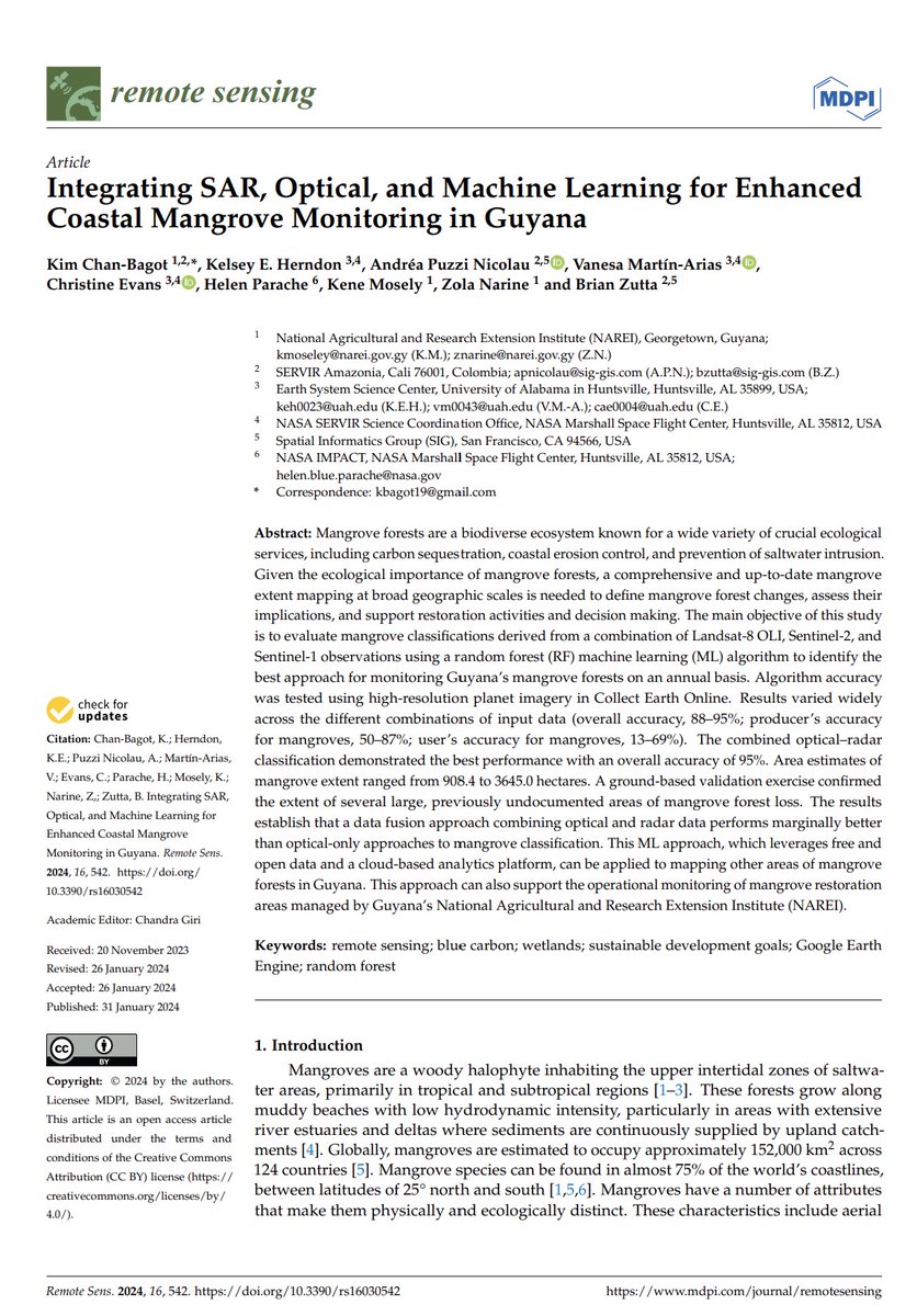
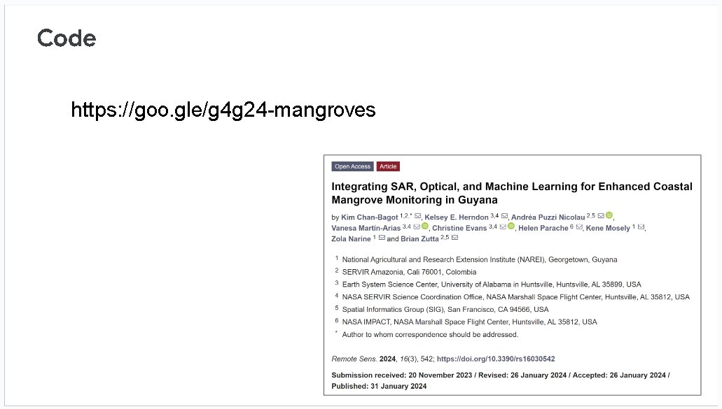
🔥Hot off the Press🔥 #Guyana's #mangroves are an important part of maintaining coastal resilience and biodiversity. Check out a new pub led by #NAREI, w/ SERVIR Amazonia, UAH Lab for Applied Science, & others on using 🛰️and ☁️ computing to monitor this essential ecosystem: bit.ly/laspub12


Check out how we have used #CloudScorePlus in Imbabura, #Ecuador. #EarthEngine SERVIR Amazonia Spatial Informatics Group (SIG) Fundación EcoCiencia

ICYMI🚨👀➡️ Awesome case study by Andréa P Nicolau testing different cloud detection approaches for composite-based land cover mapping in one of the world’s cloudiest places #EarthEngine #Sentinel2 #maskingmatters 🌫️🌋🌎🛰️


The Olympic Games Maybe we should hang it in the Louvre... 😉

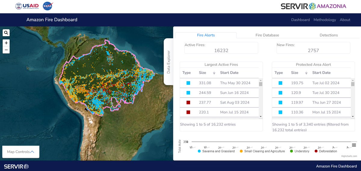
Fire control technologies are revolutionizing our ability to protect the Amazon forest. 🌧 Explore the tools developed in SERVIR Amazonia and discover its important contribution: 👉 INAMHI Ecuador 🇪🇨 GEOGLOWS: t.ly/3GFAM 👉 Amazon Fire Dashboard t.ly/83agX
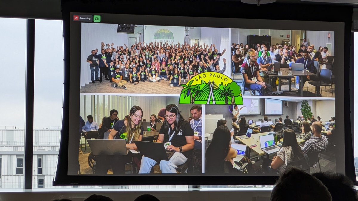
Group on Earth Observations EO AFRICA R&D Facility Simon Proud Rob Parker ESA Earth Observation Google Earth Outreach Google Rebecca Moore Google Earth #GeoForGood24: Our friend Andrea @PuzziNicolau of @SIG_GIS + @SERVIRAmazonia is on the big screen (bottom left) for her work at the Geo For Good Sao Paulo Summit a few weeks back. 🏆 x.com/BzGEO/status/1…

Google Earth Outreach Google Earth ML Earth Sciences Andréa P Nicolau Cool examples from the #GeoForGood24 #LandCover session slides, from Dr. Clinton (Google Earth Outreach), Eliana Lima Fonseca, and @PuzziNicolau: 1a. goo.gle/g4g24-endmembe… 1b. goo.gle/g4g24-unmixing 2. goo.gle/g4g24-croplands 3. goo.gle/g4g24-mangroves x.com/BzGEO/status/1…

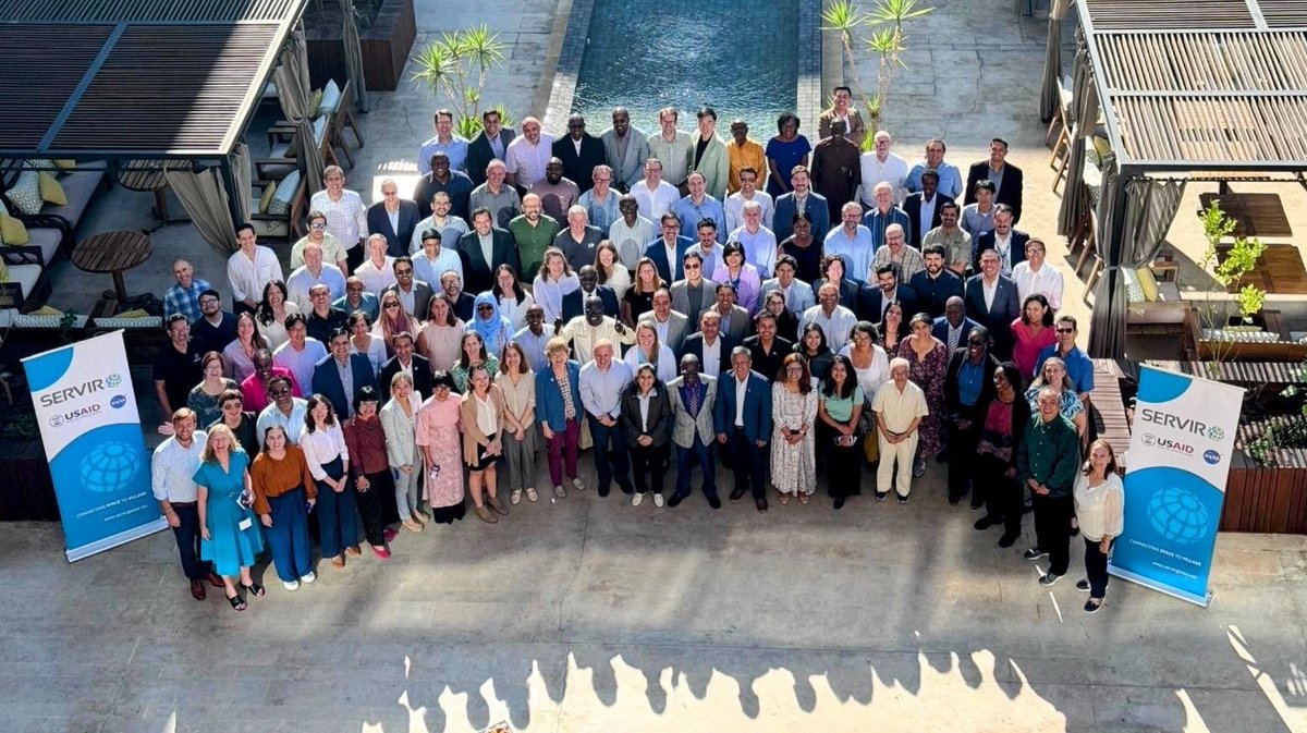
Get ready for the #SAGE2024 tweets this week from the likes of Franz J Meyer, @Chinmay_Deval, Dr. Reetwika Basu, @PuzziNicolau, Alqamah, Rajesh Bahadur Thapa, and others from the SERVIR Global network! 😉



#SAGE2024: IMHO, one of the most useful parts of the extended SERVIR Global network is that we can learn from the successes and challenges that different regions have had. That helps the network to achieve #impacts through scaling + replication. 🧐 x.com/BzGEO/status/1…
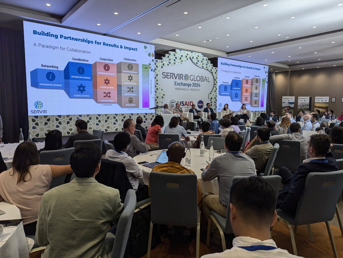

I feel so honored and humble to be a part of this great group of people working to make these valuable services for a better decision making. SERVIR Global SERVIR Amazonia NASA USAID LAC USAID #SAGE2024 Fundación EcoCiencia


We're excited for our 1st global network gathering in 4 years. 🌎🌍🌏 Follow #SAGE2024 for insights from our "Twitterati"🐦📢 🇧🇿 Belize GEO 🛰️, Franz J Meyer, @Chinmay_Deval, Dr. Reetwika Basu, @PuzziNicolau Alqamah, Rajesh Bahadur Thapa, SERVIR Amazonia, SERVIR WEST AFRICA, & more
