Tyler Erickson (@tylerickson) 's Twitter Profile
Tyler Erickson

@tylerickson

Sustainability & Climate Change | Geospatial Cloud Computing | Data Science & Analytics | Python | Jupyter | Bikes...
bsky.app/profile/tylere…

ID: 22861255

calendar_today05-03-2009 01:39:41

1,1K Tweet

2,2K Followers

1,1K Following

Martha Morrissey (@marth_hm) 's Twitter Profile Photo

Please fill out the survey. The survey is the best way to make sure you are alerted as soon sign ups are available docs.google.com/forms/u/1/d/e/…

Please fill out the survey. The survey is the best way to make sure you are alerted as soon sign ups are available
docs.google.com/forms/u/1/d/e/…
Radiant Earth (@ourradiantearth) 's Twitter Profile Photo

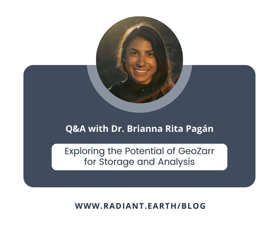
GeoZarr aims to add geospatial capabilities to zarr_dev, a CNG file storage format. We spoke w/ Dr. Brianna R. Pagán to explore its origins, the advantages it offers & the challenges of its implementation. 🔗radiant.earth/blog/2023/06/e…

GeoZarr aims to add geospatial capabilities to <a href="/zarr_dev/">zarr_dev</a>, a <a href="/cloudnativegeo/">CNG</a> file storage format. We spoke w/ <a href="/Brianna_R_Pagan/">Dr. Brianna R. Pagán</a> to explore its origins, the advantages it offers &amp; the challenges of its implementation. 
🔗radiant.earth/blog/2023/06/e…
Tyler Erickson (@tylerickson) 's Twitter Profile Photo

In Vancouver, noticing that bus passengers say an audible "thanks" when exiting the bus, even from the rear car. I'm sure the bus driver can't hear them, but it makes the other riders a little happier.

Qiusheng Wu (@giswqs) 's Twitter Profile Photo

Help shape the future of #EarthEngine. Sign up to participate in an upcoming user study focused on using GEE with #Python. You will receive $90 in USD after completing the user study👇 forms.gle/XDVb86WYaDM9xx…

Ian Schuler (@ianschuler) 's Twitter Profile Photo

5 SatCamp Superhero tickets are currently up for grabs. The $1400 ticket price locks in your registration and lodging and covers full registration and lodging for one scholarship participant tickettailor.com/events/satcamp…

Diane Fritz 🗺✏️🇺🇦 (@fritzgis) 's Twitter Profile Photo

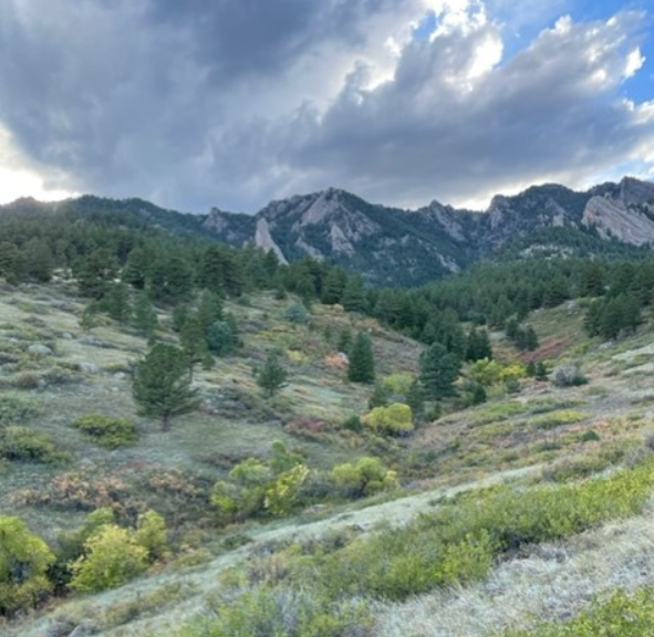
Hello EO data friends! Join me in Boulder, CO this September for an unconference (where all the ideas are really hatched!) We'll have our conversations in the forest and on the rocks. Best office ever. Learn more and get tickets here: satcamp.xyz

Hello EO data friends! Join me in Boulder, CO this September for an unconference (where all the ideas are really hatched!) We'll have our conversations in the forest and on the rocks. Best office ever.

Learn more and get tickets here: satcamp.xyz
Olive Powell 🌍 (she/her) (@olivepowell) 's Twitter Profile Photo

Heartwarming moment when Stefan Schweinfest, Director of United Nations Stats Division wears our Women+ in Geospatial badge on the opening of the UN-GGIM 13th session! #ally #allies #allyship #genderequality #geospatial #diversity

Heartwarming moment when Stefan Schweinfest, Director of <a href="/UN/">United Nations</a> Stats Division wears our <a href="/geospatialwomen/">Women+ in Geospatial</a> badge on the opening of the <a href="/UNGGIM/">UN-GGIM</a> 13th session! #ally #allies #allyship #genderequality #geospatial #diversity
SeanGorman (@seangorman) 's Twitter Profile Photo

If cost is prohibiting you from joining the community at satcamp.xyz come and apply for a SatCamp scholarship - docs.google.com/forms/d/e/1FAI…. zephr.xyz just bought a Superhero ticket to support additional scholarships and more are available if you want to help out!

Max Lenormand (@maxlenormand) 's Twitter Profile Photo

I’m so stupidly excited to be going to SatCamp I can’t wait to meet so many people in this weird little amazing community of geospatial nerds, and discover a totally new part of the US

I’m so stupidly excited to be going to SatCamp

I can’t wait to meet so many people in this weird little amazing community of geospatial nerds, and discover a totally new part of the US
Martha Morrissey (@marth_hm) 's Twitter Profile Photo

A huge shoutout to the generous SatCamp supporters that helped make the scholarships possible for this year’s SatCamp! 🛰️ Orla Dermody OrlaD 🛰️ Ian Schuler + developmentseed 🛰️ SeanGorman + Zephr zephr.xyz 🛰️ Jed Sundwall + Radiant Earth

Jed Sundwall (@jedsundwall) 's Twitter Profile Photo

Perhaps OpenAI's greatest legacy will be how it got everyone to study up on the most important issue in technology today: governance. jed.co/essays/in-prai…

Dr. Brianna R. Pagán (@brianna_r_pagan) 's Twitter Profile Photo

Looking forward to provide one of the keynotes for NORTH51 Conference this year! Will be sharing my thoughts around the intersection of geospatial tech, climate/social justice issues, the roles of private & open-source efforts, degrowth & climate solutions based in interdependence

Ujaval Gandhi (@spatialthoughts) 's Twitter Profile Photo

I am happy to launch my course "Google #EarthEngine for Water Resources Management" covering real-world applications of #GEE. For the first time - we are also releasing videos along with code for all the modules - completely free. Get started at courses.spatialthoughts.com/gee-water-reso… (1/n)

I am happy to launch my course "Google #EarthEngine for Water Resources Management" covering real-world applications of #GEE. For the first time - we are also releasing videos along with code for all the modules - completely free.  Get started at courses.spatialthoughts.com/gee-water-reso… (1/n)
Pete Gadomski (@petegadomski) 's Twitter Profile Photo

.Dr. Brianna R. Pagán brought the 🔥🔥🔥 to open NORTH51 Conference and i am here for it one of my takeaways: if you're in geospatial/earth observation, you MUST help ... enabling others, resisting exploitative structures, and working in the open (and so much more)

Dr. Brianna R. Pagán (@brianna_r_pagan) 's Twitter Profile Photo

1/ Yesterday I gave a keynote at NORTH51 Conference making the case on why EO data should be considered a common good and made free/accessible to all. As all common goods before it - colonialism and capitalism, both the root causes of climate change, are entrenched in the industry.

1/ Yesterday I gave a keynote at <a href="/N51Conference/">NORTH51 Conference</a> making the case on why EO data should be considered a common good and made free/accessible to all. As all common goods before it - colonialism and capitalism, both the root causes of climate change, are entrenched in the industry.
Dr. Brianna R. Pagán (@brianna_r_pagan) 's Twitter Profile Photo

7/ I am reminded that more than any other academic/career accolade, I want to be known as being brave in such a critical turning point of our time on Earth. I hope these hard conversations allow us to move beyond cartesian ways of thinking and foster the collective action we need

Martha Morrissey (@marth_hm) 's Twitter Profile Photo

SatCamp is coming back to Boulder in 2024 Oct 1-3. Please fill out the general interest form to stay up to date on ticket sale releases, scholarship applications and additional info. forms.gle/Zwm7ykQgRshuHT… satcamp.xyz

SatCamp is coming back to Boulder in 2024 Oct 1-3. Please fill out the general interest form to stay up to date on ticket sale releases, scholarship applications and additional info. 
forms.gle/Zwm7ykQgRshuHT…
satcamp.xyz
Kyle Barron kylebarron.dev on bsky (@kylebarron2) 's Twitter Profile Photo

The GeoParquet 1.1 revision is out, adding support for spatial partitioning and native GeoArrow geometries Both have potential to massively speed up working with very large geospatial datasets. Next step is ensuring the ecosystem works with this version github.com/opengeospatial…

Tyler Erickson (@tylerickson) 's Twitter Profile Photo

🌐 What's in a pixel? Ever wonder how to accurately calculate the area of patches/pixels on the Earth's surface? Here is an exploration into the math and code... analyze.earth/posts/on-areas…

Tyler Erickson (@tylerickson) 's Twitter Profile Photo

🌐 No, Greenland and Africa are not similar in size. Understanding interactive "slippy" map tiles, and how they vary with latitude and zoom level. analyze.earth/posts/web-merc…

🌐 No, Greenland and Africa are not similar in size.

Understanding interactive "slippy" map tiles, and how they vary with latitude and zoom level.
analyze.earth/posts/web-merc…