Utah Geological (@utahgeological) 's Twitter Profile
Utah Geological

@utahgeological

The Utah Geological Survey (UGS) provides timely scientific information about Utah’s geologic environment, resources, and hazards.

ID: 111068842

linkhttp://geology.utah.gov calendar_today03-02-2010 18:16:43

3,3K Tweet

8,8K Followers

228 Following

Utah Department of Natural Resources (@utahdnr) 's Twitter Profile Photo

From dinosaurs to desert hikes, find fun, educational reads at the Natural Resources Map & Bookstore or utahmapstore.com. #Utah #ShopLocal #MapBookstore

From dinosaurs to desert hikes, find fun, educational reads at the Natural Resources Map & Bookstore or utahmapstore.com. #Utah #ShopLocal #MapBookstore
Utah Geological (@utahgeological) 's Twitter Profile Photo

"Swiss-cheese rock," or tafoni, are small, smooth-edged holes found in rock surfaces—often sandstone or granite. These honeycomb-like features also form in rhyolite, like at The Honeycombs in Utah. #utahgeology #tafoni

"Swiss-cheese rock," or tafoni, are small, smooth-edged holes found in rock surfaces—often sandstone or granite. These honeycomb-like features also form in rhyolite, like at The Honeycombs in Utah. #utahgeology #tafoni
Utah Geological (@utahgeological) 's Twitter Profile Photo

Photo of the Week: Reids Peak and Bald Mountain rise from the Precambrian Mount Watson Formation in Utah’s Uinta Mountains. Glacial cycles sculpted this striking landscape. Uinta-Wasatch–Cache National Forest Photographer: Adam Hiscock #utahgeology #uintamountains

Photo of the Week: Reids Peak and Bald Mountain rise from the Precambrian Mount Watson Formation in Utah’s Uinta Mountains. Glacial cycles sculpted this striking landscape.
Uinta-Wasatch–Cache National Forest
Photographer: Adam Hiscock
#utahgeology #uintamountains
Utah Geological (@utahgeological) 's Twitter Profile Photo

New Publication: Interim Geologic Map of the Blanding North Quadrangle, San Juan County, Utah, by Matthew C. Morriss, 12 p., 2 plates, scale 1:24,000, OFR-771DM. See publication details at–doi.org/10.34191/OFR-7… #utahgeology #utah #sanjuancounty

New Publication: Interim Geologic Map of the Blanding North Quadrangle, San Juan County, Utah, by Matthew C. Morriss, 12 p., 2 plates, scale 1:24,000, OFR-771DM. See publication details at–doi.org/10.34191/OFR-7…
#utahgeology #utah #sanjuancounty
Utah Geological (@utahgeological) 's Twitter Profile Photo

What are the oldest rocks in Utah? They date back to the Precambrian—over 540 million years ago, when only simple life forms existed. Learn more in this Glad You Asked article: ow.ly/SUS050KSVJt #utahgeology #Precambrian

What are the oldest rocks in Utah?
They date back to the Precambrian—over 540 million years ago, when only simple life forms existed. Learn more in this Glad You Asked article: ow.ly/SUS050KSVJt
#utahgeology #Precambrian
Utah Geological (@utahgeological) 's Twitter Profile Photo

Happy Fossil Friday! Fossil Mountain, in Utah’s Confusion Range, is famous for its abundance of marine fossils and desert wilderness views. A favorite for fossil hunters! Learn more here–ow.ly/Chrx50MKCy3 #utahgeology #fossilfriday

Happy Fossil Friday!
Fossil Mountain, in Utah’s Confusion Range, is famous for its abundance of marine fossils and desert wilderness views. A favorite for fossil hunters! Learn more here–ow.ly/Chrx50MKCy3
#utahgeology #fossilfriday
Utah Geological (@utahgeological) 's Twitter Profile Photo

You can’t slide down the Devil’s Slide, but it’s a striking example of how rock layers weather and erode over time. These tilted remnants were once sea-floor sediments! Learn more: ow.ly/BAof50FpXId #utahgeology

You can’t slide down the Devil’s Slide, but it’s a striking example of how rock layers weather and erode over time. These tilted remnants were once sea-floor sediments! Learn more: ow.ly/BAof50FpXId
#utahgeology
Utah Geological (@utahgeological) 's Twitter Profile Photo

What are those blue ponds near Moab? They are not a mirage but solar evaporation ponds used to mine potash, a water-soluble potassium salt. Read more in this Glad You Asked article —ow.ly/HwhV50HjG0V Image from ©Google Earth. #utahgeology #gladyouasked

What are those blue ponds near Moab? They are not a mirage but solar evaporation ponds used to mine potash, a water-soluble potassium salt. Read more in this Glad You Asked article —ow.ly/HwhV50HjG0V
Image from ©Google Earth.
#utahgeology #gladyouasked
Utah Geological (@utahgeological) 's Twitter Profile Photo

New Publication: Interim Geologic Map of the Huntsville Quadrangle, Weber and Cache Counties, Utah, by Greg N. McDonald, Adam P. McKean, Zachary W. Anderson, Elizabeth A. Balgord, and W. Adolph Yonkee, 26 p., 2 plates, scale 1:24,000, OFR-772DM. doi.org/10.34191/OFR-7…

New Publication: Interim Geologic Map of the Huntsville Quadrangle, Weber and Cache Counties, Utah, by Greg N. McDonald, Adam P. McKean, Zachary W. Anderson, Elizabeth A. Balgord, and W. Adolph Yonkee, 26 p., 2 plates, scale 1:24,000, OFR-772DM. doi.org/10.34191/OFR-7…
Utah Geological (@utahgeological) 's Twitter Profile Photo

High-elevation wetlands in Utah's montane ecoregion play a critical role in biodiversity, water quality, and ecosystem health. Explore the stressors, current conditions, and diverse plant communities of these vital landscapes in our new StoryMap: ow.ly/Noyq50WiJyA

High-elevation wetlands in Utah's montane ecoregion play a critical role in biodiversity, water quality, and ecosystem health. Explore the stressors, current conditions, and diverse plant communities of these vital landscapes in our new StoryMap: ow.ly/Noyq50WiJyA
Utah Geological (@utahgeological) 's Twitter Profile Photo

Photo of the Week: Paul Bunyans Woodpile, Juab County Photographer: Christian Hardwick These “stacked logs” are igneous columnar joints that were created during the cooling process of magma estimated to have intruded the area 30 million years ago. #utahgeology #juabcounty

Photo of the Week: Paul Bunyans Woodpile, Juab County
Photographer: Christian Hardwick
These “stacked logs” are igneous columnar joints that were created during the cooling process of magma
estimated to have intruded the area 30 million years ago.
#utahgeology #juabcounty
Utah Geological (@utahgeological) 's Twitter Profile Photo

Planning a trip to Palisade State Park? This scenic spot offers stunning views of ancient landscapes at the meeting point of the Basin and Range and Colorado Plateau. Learn more in this GeoSights article: ow.ly/3tsI50PPcnr #utahgeology #geosights

Planning a trip to Palisade State Park? This scenic spot offers stunning views of ancient landscapes at the meeting point of the Basin and Range and Colorado Plateau. Learn more in this GeoSights article: ow.ly/3tsI50PPcnr
#utahgeology #geosights
Utah Geological (@utahgeological) 's Twitter Profile Photo

New publication: Copper in Utah, by Stephanie E. Mills, 4 p., PI-107. Utah is the second-largest copper producer in the U.S., with over $205B in historical output, home to the Bingham Canyon Mine, and one of only two U.S. copper smelters. Learn more: doi.org/10.34191/PI-107

New publication: Copper in Utah, by Stephanie E. Mills, 4 p., PI-107. Utah is the second-largest copper producer in the U.S., with over $205B in historical output, home to the Bingham Canyon Mine, and one of only two U.S. copper smelters. Learn more: doi.org/10.34191/PI-107
Utah Department of Natural Resources (@utahdnr) 's Twitter Profile Photo

Elevate your camp cooking! From Dutch oven recipes to trail-friendly meals, our collection of outdoor cookbooks will keep you well-fed wherever your #Utah adventures take you. Natural Resources Map & Bookstore: 1594 W North Temple, SLC | utahmapstore.com #ShopLocal

Elevate your camp cooking! From Dutch oven recipes to trail-friendly meals, our collection of outdoor cookbooks will keep you well-fed wherever your #Utah adventures take you.

Natural Resources Map & Bookstore: 1594 W North Temple, SLC | utahmapstore.com #ShopLocal
Utah Geological (@utahgeological) 's Twitter Profile Photo

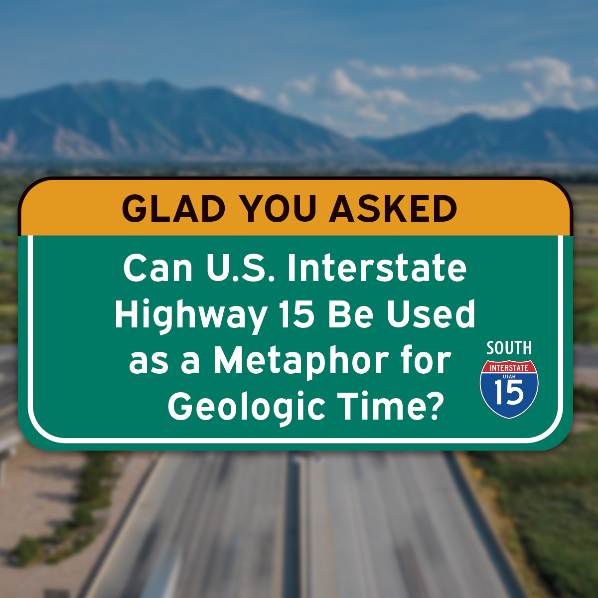
Ever wondered how to see geologic time? 🕰️ UGS mapped Earth’s 4.6 billion years onto Utah’s I-15—each mile = 11.5 million years! 🚗 See the timeline: ow.ly/Kfqj50TySxh #gladyouasked #utahgeology

Ever wondered how to see geologic time? 🕰️ UGS mapped Earth’s 4.6 billion years onto Utah’s I-15—each mile = 11.5 million years! 🚗
See the timeline: ow.ly/Kfqj50TySxh
#gladyouasked #utahgeology
Utah Geological (@utahgeological) 's Twitter Profile Photo

Photo of the Week: Eroded patterns in Mancos Shale, Caineville Badlands. Reddish deposits mark an ancient landslide from the Emery Sandstone. Location: Wayne County | Photographer: Gregg Beukelman #utahgeology #geology

Photo of the Week: Eroded patterns in Mancos Shale, Caineville Badlands. Reddish deposits mark an ancient landslide from the Emery Sandstone.
Location: Wayne County | Photographer: Gregg Beukelman
#utahgeology #geology
Utah Geological (@utahgeological) 's Twitter Profile Photo

Interim Geologic Map of the Wildcat Mountain & Currie Quadrangles (Tooele Co.): Phase 1, by Donald L. Clark, Charles G. Oviatt, Eric H. Christiansen, Christian L. Hardwick, Kayla D. Smith, and David Page, 28 p., 2 plates, scale 1:62,500, OFR-773. doi.org/10.34191/OFR-7…

Interim Geologic Map of the Wildcat Mountain & Currie Quadrangles (Tooele Co.): Phase 1, by Donald L. Clark, Charles G. Oviatt, Eric H. Christiansen, Christian L. Hardwick, Kayla D. Smith, and David Page, 28 p., 2 plates, scale 1:62,500, OFR-773. doi.org/10.34191/OFR-7…
Utah Geological (@utahgeological) 's Twitter Profile Photo

The Dugway Geode Beds are a rockhounding hotspot. The most common mineral found within the geodes is quartz in various colors: clear (rock crystal), purple (amethyst), and pink (rose). Learn more about the Dugway Geode Beds here: ow.ly/4yH850Czlyk #utahgeology #rockhounder

The Dugway Geode Beds are a rockhounding hotspot. The most common mineral found within the geodes is quartz in various colors: clear (rock crystal), purple (amethyst), and pink (rose). Learn more about the Dugway Geode Beds here:
ow.ly/4yH850Czlyk
#utahgeology #rockhounder
Utah Geological (@utahgeological) 's Twitter Profile Photo

San Juan River Rincon: A stunning entrenched meander where the river once flowed. Now an isolated geologic wonder—1 mile wide, 500+ ft deep, and featuring a 550-ft butte! Learn more: ow.ly/9A4s50Gd7kI #utahgeology #geosights

San Juan River Rincon: A stunning entrenched meander where the river once flowed. Now an isolated geologic wonder—1 mile wide, 500+ ft deep, and featuring a 550-ft butte! Learn more: ow.ly/9A4s50Gd7kI
#utahgeology #geosights